Browse / India / Himachal Pradesh / Banjar
Banjar
Himachal Pradeshtown

Banjar
Demographic figures from Ministry of Statistics (India). Overview below cites Wikipedia and may reference a different year.
City facts
Facts from Wikidata (CC0).
Overview
Banjar is a town in Kullu district in the state of Himachal Pradesh, India. Banjar is one of the five sub-divisions of Kullu district. Banjar town serves as the headquarters of Banjar sub-division and tehsil. Culturally, it is a part of the Seraj region that extends from Jalori pass to Shikari Devi in Janjehli. A dialect of Kulluvi called Seraji is spoken in the region and the natives are also called Serajis. The tourist attractions of Tirthan valley and Jibhi are a part of the Banjar region with Banjar town being the main marketplace in Tirthan Valley.
Read more on WikipediaHistory & geography
Geography
Banjar is located at . It is situated at an average height of 1,435 metres (4,708 ft) from sea level. The place lies on the alternate route to Kullu from Shimla. The main route is via Bilaspur and Mandi. The alternate route goes from Theog, Aani, Jalori Pass, Banjar and joins the main route at Aut. Temperatures can go a few degrees below 0 °C in the winter months of December–January and climb up to 30° in the peak summer months of June–July. The months of March, April, May, June, September, October, November are considered the best for hiking and exploring the region. The higher reaches of the valley receive heavy snowfall, however the town of Banjar along with other villages by the river Tirthan receive little snowfall once or twice each winter The tree cover varies from pine forest in the lower reaches of the valley by Tirthan river, Deodar/Cedar forest in the middle region, Fir/Spruce/Oak/Horse Chestnut/Rhododendron in the upper parts followed by the lush meadows above the tree line. The Banjar Valley is in the middle Himalayan range and going towards the east, the peaks progressively get taller, finally giving way to the Great Himalayan range, where peaks have heights of 4500 meters and above. Banjar is one of the tehsil of the Kullu district. C-24 is the name given to Banjar Constituency. Banjar constituency has three Zila Parishad ward names as Khadagad, Plahach, and Raila. The city is growing with rapid speed in the tourism industry. The valley is also a gateway to The Great Himalayan National Park from its north-eastern side. The town consists of a lot of pocket-friendly and less crowded tourist places and serves as a summer destination. The main source of earning in this area is through agriculture and horticulture. Now tourism and hospitality…
Excerpted from the corresponding Wikipedia article (CC BY-SA).
Geography
Coordinates & boundaries from the US Census TIGER/Line shapefiles.
Climate
Air quality
Walkability
Amenities nearby
Wildlife & biodiversity
Most-observed species
- Large-billed CrowCorvus macrorhynchos Wagler, 1827 · Aves1,009
- Blue Whistling-ThrushMyophonus caeruleus (Scopoli, 1786) · Aves816
- Yellow-billed Blue-MagpieUrocissa flavirostris (Blyth, 1846) · Aves781
- Himalayan BulbulPycnonotus leucogenys (J.E.Gray, 1835) · Aves766
- Great BarbetPsilopogon virens (Boddaert, 1783) · Aves754
- Streaked LaughingthrushTrochalopteron lineatum (Vigors, 1831) · Aves735
- Green-backed TitParus monticolus Vigors, 1831 · Aves709
- Black BulbulHypsipetes leucocephalus (Gmelin, 1789) · Aves615
Citizen-science & research observations from the Global Biodiversity Information Facility (GBIF).
Earthquake history
Most recent
- M 4 — 2026-08-265 km NNE of Sarāhan, India
- M 4.4 — 2025-10-1410 km NE of Rājgarh, India
- M 3.6 — 2024-08-097 km WSW of Pāndoh, India
- M 4.3 — 2023-07-0753 km E of Sarāhan, India
- M 4.4 — 2022-11-1613 km WSW of Kulu, India
- M 4.2 — 2022-02-239 km SE of Sar?han, India
Events from the USGS Earthquake Catalog (global) (FDSN Event Web Service).
Photos
Sights & places nearby
Notable people from here
Nearby places in Himachal Pradesh
Geography & sun
Elevation, sunrise/sunset and daylight from Open-Meteo. Solar climatology from NASA POWER.
Nearby airports
Public attention
Pageview totals from the Wikimedia Pageviews API.
Books about this place
Recent natural events nearby
Ground air-quality sensors
Recently spotted species
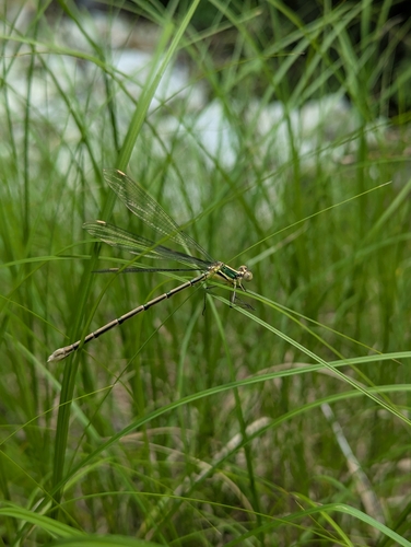
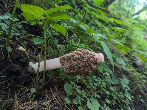

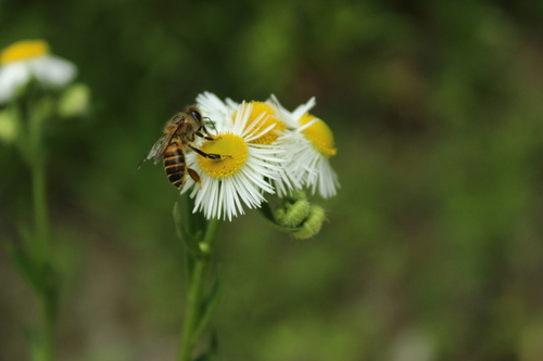
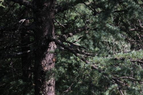
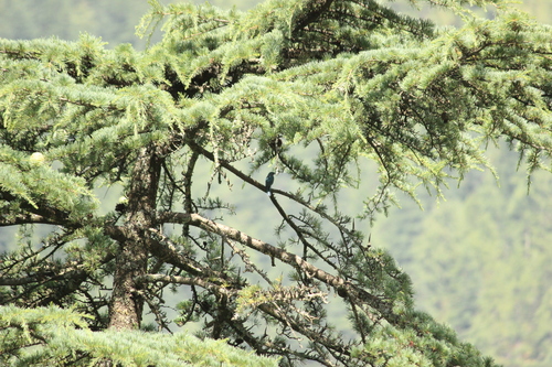
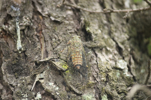
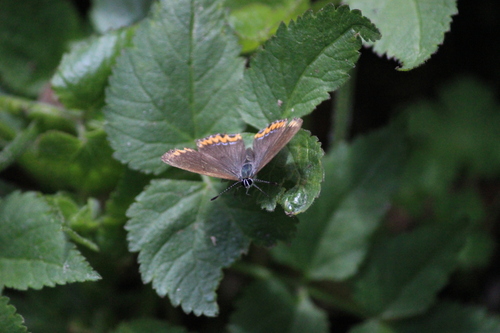
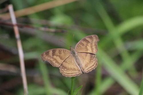
Research-grade observations from iNaturalist (within ~15 mi).
Events
Gallery
Sources
- • Wikipedia
- • Wikidata
- • USGS Earthquake Catalog (global feed)
- • GBIF (Global Biodiversity Information Facility)
- • iNaturalist
- • Open-Meteo / sunrise-sunset.org
- • Wikipedia Pageviews API