Browse / India / Himachal Pradesh / Kullu
Kullu
Himachal Pradeshtown

Kullu
Total population
18,000
Demographic figures from Ministry of Statistics (India). Overview below cites Wikipedia and may reference a different year.
City facts
Facts from Wikidata (CC0).
Overview
Kullu is a municipal council town that serves as the administrative headquarters of the Kullu district of the Indian state of Himachal Pradesh. It is located on the banks of the Beas River in the Kullu Valley about 10 kilometres (6.2 mi) north of the airport at Bhuntar, Kullu. The river, originating from Beas Kund, passes a succession of hillside settlements amongst forests of deodar, with pine trees on the lower rocky ridges. Kullu Valley is located between the Pir Panjal, Lower Himalayan and Great Himalayan Ranges, located in Northern India, 497 kilometres (309 mi) away from India's capital.
Read more on WikipediaHistory & geography
History
Historical references about the Kullu valley date back to ancient Hindu literary works of the Ramayana, Mahabharata and the Puranas. During Vedic period several small republics known as "Janapada" existed which were later conquered by the Nanda Empire, Mauryan Empire, Shunga Empire, Gupta Empire, Pala Dynasty and Karkoṭa Empire. After a brief period of supremacy by King Harshavardhana, the region was once again divided into several local powers headed by chieftains, including some Rajput principalities, these principalities were later conquered by Mughal Empire, Maratha Empire, Sikh Empire. The Buddhist pilgrim monk Xuanzang visited the Kullu Valley in 634 or 635 CE. He described it as a fertile region completely surrounded by mountains, about 3,000 li in circuit, with a capital 14 or 15 li in circumference. There were some twenty Buddhist monasteries, with about 1,000 monks, most of whom following the Mahayana tradition. There were also some fifteen Hindu temples, and both faiths occupied the region. There were meditation caves near the mountain passes inhabited by both Buddhist and Hindus. The country is said to have produced gold, silver, red copper, crystal lenses and bell-metal. In 1650, during the reign of ruler Jagat Singh of Kullu, Raghunath Temple was established after Pandit Damodar (a priest) took the idol of Shri Rama from Ayodhya's Tretanath Temple to Kullu.
Geography
Kullu town has an average elevation of . It lies on the bank of Beas River.
Excerpted from the corresponding Wikipedia article (CC BY-SA).
Geography
Coordinates & boundaries from the US Census TIGER/Line shapefiles.
Climate
Air quality
Walkability
Amenities nearby
Wildlife & biodiversity
Earthquake history
Photos
Sights & places nearby
Notable people from here
People born within ~10 km, from Wikidata (CC0). Click any name for their Wikipedia article.
Nearby places in Himachal Pradesh
Geography & sun
Elevation, sunrise/sunset and daylight from Open-Meteo. Solar climatology from NASA POWER.
Nearby airports
Public attention
Pageview totals from the Wikimedia Pageviews API.
Books about Kullu
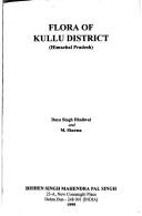
Search results from Open Library.
Recent natural events nearby
Ground air-quality sensors
Recently spotted species
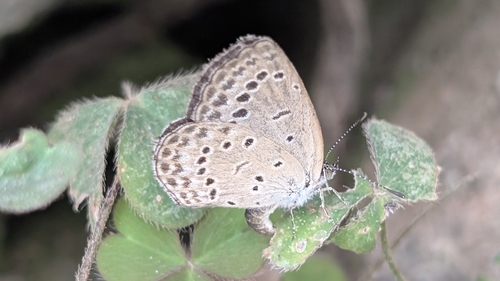
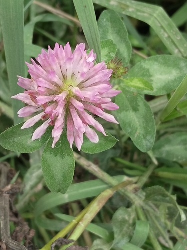
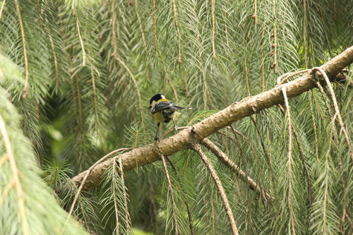
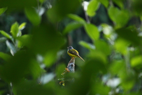
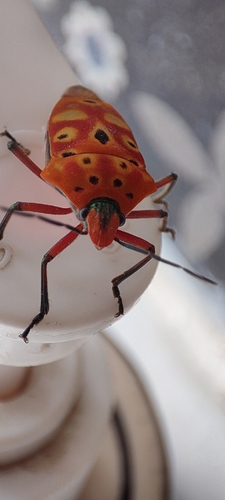
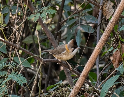
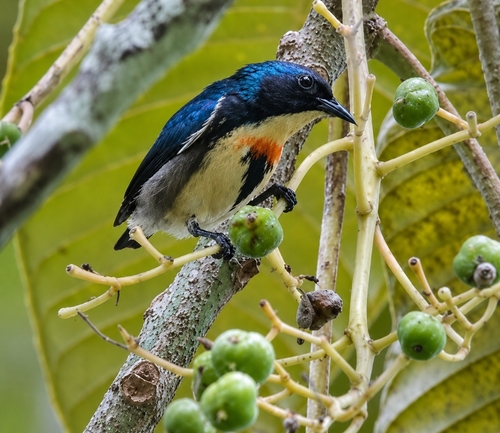
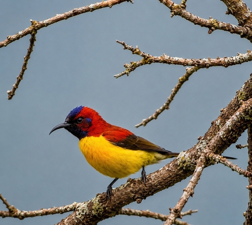
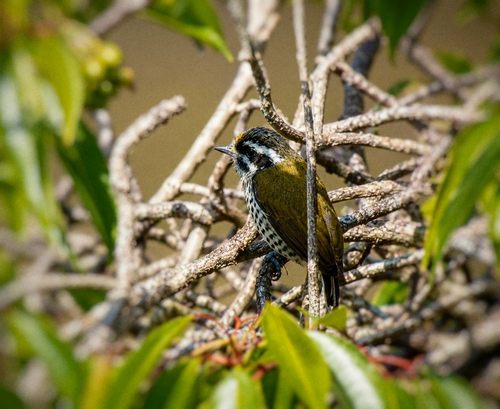
Research-grade observations from iNaturalist (within ~15 mi).
Events
Gallery
Sources
- • Wikipedia
- • Wikidata
- • iNaturalist
- • Open-Meteo / sunrise-sunset.org
- • Wikipedia Pageviews API
- • Open Library