Browse / India / Bihar / Bettiah
Bettiah
Biharcity

Bettiah
Total population
132,200
Demographic figures from Ministry of Statistics (India). Overview below cites Wikipedia and may reference a different year.
City facts
Facts from Wikidata (CC0).
Overview
Bettiah is a city and the administrative headquarters of West Champaran district in the Indian state of Bihar. It is near the Indo-Nepal border, 225 kilometres (140 mi) northwest of Patna.
Read more on WikipediaHistory & geography
History
In 1244 A.D., Gangeshwar Dev, a Bhumihar of the Jaitharia clan, Now known as Bhumihar Brahmin. settled at Jaithar in Champaran. One of his descendants, Agar Sen, acquired large territories during the reign of Emperor Jahangir, and was bestowed the title of 'Raja' by Emperor Shah Jahan. In 1659, he was succeeded by his son Raja Gaj Singh, who built the palace of the family at Bettiah. He died in 1694 A.D. The palace stands today and is used as a marketplace. In 1740, a Roman Catholic mission was founded in the city. On 7 December 1745 AD, Father Joseph Mary, Father Cassen, and Nepali Christian Michael arrived in Bettiah from Nepal. The King of Bettiah provided them with a house located in front of the royal court. This three-room house became the center of their activities. One room served as a clinic where free medicines were distributed to the general public, the second room was a Christian prayer house—a small church, and the third room was dedicated to providing religious education. From this modest setting, the propagation of Christianity began in Bettiah, laying the foundation for what would later become the presence of the Catholic Church in the northern Indian subcontinent, as well as the foundation of the Bettiah Christian community. In 1765, when the East India Company acquired the Diwani, the Bettiah Raj held the largest amount of territory under its jurisdiction. It consisted of all of Champaran except for a small portion held by the Ram Nagar Raj. Madhuban was part of the erstwhile 'Bettiah Raj'. Internal disputes and family quarrels divided the Bettiah Raj as time went on. As a result, the Madhuban Raj was created. In 1869, Bettiah was constituted and affirmed as a municipality. A section of Dhrupad singers of Dilli Gharana (Delhi Gharana) from the…
Geography
The climate of Bettiah is characterised by high temperatures and high precipitation especially during the monsoon season. The Köppen Climate Classification sub-type for this climate is "Cwa" (Dry-winter humid subtropical climate).
Excerpted from the corresponding Wikipedia article (CC BY-SA).
Geography
Coordinates & boundaries from the US Census TIGER/Line shapefiles.
Climate
Air quality
Walkability
Amenities nearby
Wildlife & biodiversity
Earthquake history
Photos
Sights & places nearby
Notable people from here
Nearby places in Bihar
- Sikta18.8 mi away
- Narkatiaganj20.9 mi away · pop. 1,000
- Gopalganj24 mi away · pop. 50,000
- Motihari27 mi away · pop. 126,200
- Ramnagar27.4 mi away · pop. 1,000
- Pakridayal38.3 mi away · pop. 1,000
- Ghorasahan38.6 mi away
- Chakia42.8 mi away · pop. 1,000
- Patahi42.8 mi away
- Mairwa44.9 mi away · pop. 18,696
- Maharajganj47.9 mi away · pop. 20,878
- Mehsi48.4 mi away
Geography & sun
Nearby airports
Public attention
Books about this place
Recent natural events nearby
Ground air-quality sensors
Recently spotted species
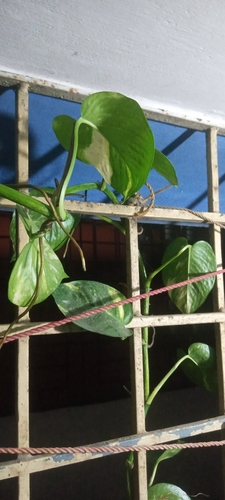
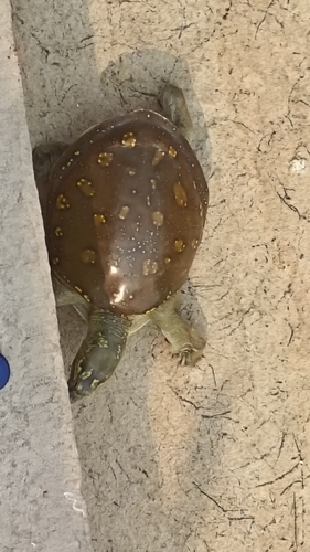
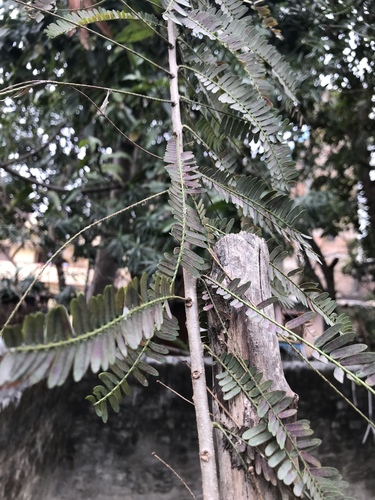
Research-grade observations from iNaturalist (within ~15 mi).
Events
Gallery
Sources
- • Wikipedia
- • Wikidata
- • iNaturalist