Browse / India / Jharkhand / Bhurkunda
Bhurkunda
Jharkhandtown
Demographic figures from Ministry of Statistics (India). Overview below cites Wikipedia and may reference a different year.
City facts
Overview
Bhurkunda is a town in the Patratu CD block in the Ramgarh subdivision of the Ramgarh district in Jharkhand, India.
Read more on WikipediaHistory & geography
Geography
Bhurkunda is approximately north-east of Ranchi, the state capital of Jharkhand. Ramgarh has a vibrant coal-mining sector. The map alongside provides links to five operational areas of Central Coalfields spread across South Karanpura Coalfield, Ramgarh Coalfield and West Bokaro Coalfield. Four of the six CD blocks in the district have coal mines – Patratu, Ramgarh, Mandu and Chitarpur. The high concentration of census towns in these blocks are noticeable on the map. Only two blocks, Gola and Dulmi, are totally rural areas. Ramgarh district lies in the central part of the Chota Nagpur Plateau. The Damodar valley covers most of the district. The forested areas in highlands to the north and the south of the valley can be seen in the map (mark the shaded areas). "Chotanagpur has a charm of its own… The entire area forms one of the most charming series of views imaginable. The far-off hills in the background in exquisite tints of blue or purple as the light falls, the nearer hills picturesquely shaped and luxuriant in every shade of green with their bold escarpments in black or grey, and the brown plains below furnishing their quota of colours." Note: The map alongside presents some of the notable locations in the district. All places marked in the map are linked in the larger full screen map.
Excerpted from the corresponding Wikipedia article (CC BY-SA).
Geography
Coordinates & boundaries from the US Census TIGER/Line shapefiles.
Climate
Air quality
Walkability
Amenities nearby
Wildlife & biodiversity
Earthquake history
Photos
Sights & places nearby
Notable people from here
Nearby places in Jharkhand
Geography & sun
Elevation, sunrise/sunset and daylight from Open-Meteo. Solar climatology from NASA POWER.
Nearby airports
Public attention
Pageview totals from the Wikimedia Pageviews API.
Books about this place
Recent natural events nearby
Ground air-quality sensors
Recently spotted species
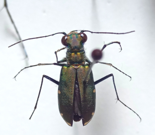
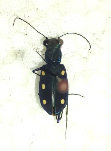
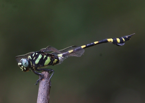
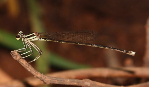
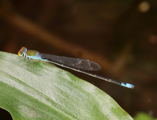
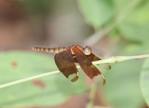
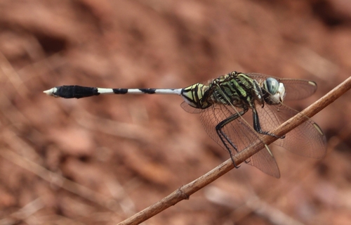
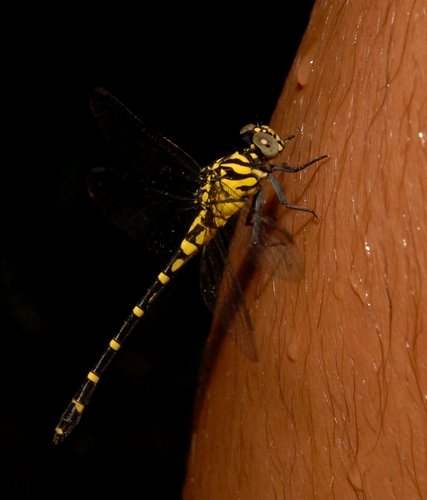
Research-grade observations from iNaturalist (within ~15 mi).
Events
Gallery
Sources
- • Wikipedia
- • iNaturalist
- • Open-Meteo / sunrise-sunset.org
- • Wikipedia Pageviews API