Browse / India / Maharashtra / Boisar
Boisar
Maharashtracity

Boisar
Demographic figures from Ministry of Statistics (India). Overview below cites Wikipedia and may reference a different year.
City facts
Facts from Wikidata (CC0).
Overview
Boisar is one of the largest industrial towns in Palghar district of Indian state Maharashtra. It is approximately 111 kilometers away from the state capital Mumbai, and 98 km (61 mi) from the union territory Daman.
Read more on WikipediaHistory & geography
History
Boisar city was part of the Rashtrakuta dynasty which had ruled the Deccan plateau between the 8th and 10th centuries. It was ruled by Ahmadnagar (1521–1594), the Portuguese Empire (1594), the Maratha Empire (1739–1818), the East India Company (1818–1857) and the British Raj (1857–1947). There are some forts near the city, such as Asava Fort (11 km), Tarapur Fort (), Kaldurg Fort(), Shirgaon Fort (), Mahim Fort (), and Asheri Fort (). Boisar was initially inhabited by the Kolis and Konkanis who were fish and used to live in the Arabian Sea coast. The Kolis are traditional fishermen who speak different dialects of Marathi. The present Vanjari community of Boisar was part of the Indus Valley civilization and originate from Chittorgarh, Rajasthan. They migrated to "Moradi" port (today "Murbe") to trade in Boisar because the British started the railway in 1853 which halted the grain trade. Their language is distinct from standard Marathi as it influenced by Rajasthani and Gujarati. The Vadval community is located in Boisar, Tarapur. They are said to be the descendants of Yadava dynasty of Devagiri. They form one of the few Marathi-speaking communities which belong to Kshatriya varna but not the traditional 96-clan Maratha caste. Boisar was town in Bombay state between 18th to 19th century. It was also city in the Thane district after the independence of India. Palghar district is the current district of Boisar from 1 August 2014.
Geography
Boisar encompasses an area of . It is located at 19° 48' 13N 72° 45' 22E and Navale Lake near the city are known for lotus blooms in winter. The Kokner/Kokaner hot water spring is on the banks on the Surya river; the water is a murky greenish brown due to sulphur & chemical deposits from the spring. Basalt and medium deep grayish black soil are found in the hill area and deep black soils are found in the basins of Surya river. Coastal saline soil occurs along the Arabian Sea. Other than basalt, minor minerals like murrum are found in the city. According to the Köppen climate classification, the climate of Boisar is tropical, very humid, and warm because of the western coastal plains. The city experiences three main seasons and one transitional season. They are: #Winter Season (December to February). #Summer Season (March to June). #Monsoon Season (June to September). #Post Monsoon Season / Autumn (October and November): Hot and humid in the coastal areas.
Excerpted from the corresponding Wikipedia article (CC BY-SA).
Geography
Coordinates & boundaries from the US Census TIGER/Line shapefiles.
Climate
Air quality
Walkability
Amenities nearby
Wildlife & biodiversity
Earthquake history
Photos
Sights & places nearby
Notable people from here

People born within ~10 km, from Wikidata (CC0). Click any name for their Wikipedia article.
Nearby places in Maharashtra
Geography & sun
Elevation, sunrise/sunset and daylight from Open-Meteo. Solar climatology from NASA POWER.
Nearby airports
Public attention
Pageview totals from the Wikimedia Pageviews API.
Books about this place
Recent natural events nearby
Ground air-quality sensors
Recently spotted species
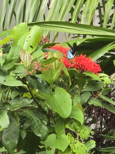
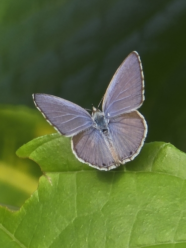
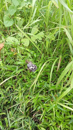
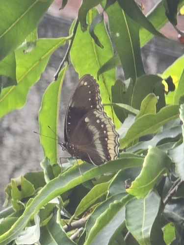
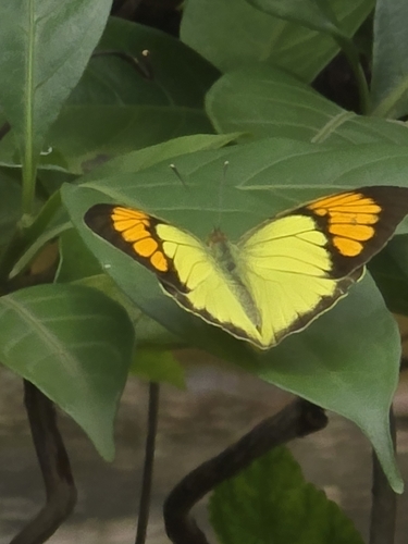
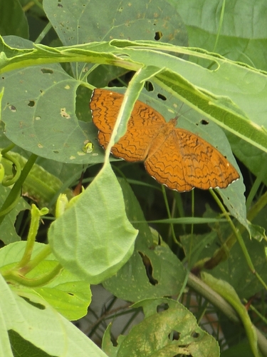
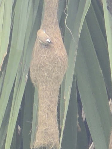
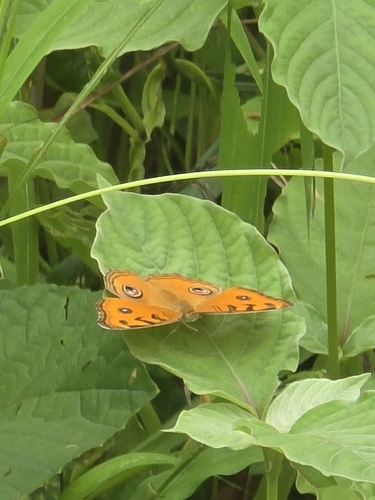
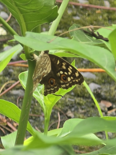
Research-grade observations from iNaturalist (within ~15 mi).
Events
Gallery
Sources
- • Wikipedia
- • Wikidata
- • iNaturalist
- • Open-Meteo / sunrise-sunset.org
- • Wikipedia Pageviews API