Browse / India / Maharashtra / Neral
Neral
Maharashtratown

Neral
Demographic figures from Ministry of Statistics (India). Overview below cites Wikipedia and may reference a different year.
City facts
Facts from Wikidata (CC0).
Overview
Neral is a town in Raigad district in the Indian state of Maharashtra. It is 83 km+ developing city of Raigad district which is well connected to Panvel, Mumbai, Thane and Pune. Local people from communities like Agri, Kumbhar, Brahmin, Muslim, etc. settled here because this place was key route to Matheran and Vikatgad which were politically important for Maratha empire, Mughal empire and East India Company. Neral to Matheran Train Route was developed by East India Company for trading and colonial purposes. Hutatma Veer Bhai Kotwal was a great hero who rebelled against British Police in Neral - Matheran. Villages followed the same in following years to safeguard themselves from regular floods affecting their homes, farms and animals.
Read more on WikipediaHistory & geography
Geography
Neral is located at . It has an average elevation of 40 metres (131 feet). Neral is a place which is the center between Mumbai and Pune, Neral has State Highway which is connecting to Karjat, NH4, Panvel and Murbad, people who visits Neral from Mumbai-South takes via Panvel route which is better, faster and easy to drive. Neral is at key location in the proposed Uran-Panvel-Neral-Bhimashankar SH-54 State Highway. It is popularly known as a railroad junction, with trains arriving from Mumbai and from Pune to the nearby and very popular hill station of Matheran. A narrow-gauge rail line, 21 km long, ("toy train") runs from Neral to Matheran. Nearest major towns are Badlapur and Karjat. The heavy rains on 26 July 2005 ruined the rail tracks and it had stopped operating, but the train has successfully started operating from 5 March 2007. The other option available to reach Matheran is to take a taxi to a certain point (called Dasturi naka) just before Matheran city boundary, beyond which one may proceed only on foot or on horseback.
Excerpted from the corresponding Wikipedia article (CC BY-SA).
Geography
Coordinates & boundaries from the US Census TIGER/Line shapefiles.
Climate
Air quality
Walkability
Amenities nearby
Wildlife & biodiversity
Most-observed species
- Red-vented BulbulPycnonotus cafer (Linnaeus, 1766) · Aves956
- Red-whiskered BulbulPycnonotus jocosus (Linnaeus, 1758) · Aves919
- White-throated KingfisherHalcyon smyrnensis (Linnaeus, 1758) · Aves890
- Ashy PriniaPrinia socialis Sykes, 1832 · Aves767
- Indian Pond-HeronArdeola grayii (Sykes, 1832) · Aves721
- Green Bee-eaterMerops orientalis Latham, 1801 · Aves708
- House CrowCorvus splendens Vieillot, 1817 · Aves707
- Common MynaAcridotheres tristis (Linnaeus, 1766) · Aves692
Citizen-science & research observations from the Global Biodiversity Information Facility (GBIF).
Earthquake history
Events from the USGS Earthquake Catalog (global) (FDSN Event Web Service).
Photos
Sights & places nearby
Notable people from here


People born within ~10 km, from Wikidata (CC0). Click any name for their Wikipedia article.
Nearby places in Maharashtra
- Matheran4 mi away · pop. 5,000
- Navi Mumbai19.5 mi away · pop. 1,120,547
- Kamshet24 mi away
- Bhiwandi25.5 mi away · pop. 100,000
- Uran26.8 mi away · pop. 30,400
- Umberpada34.1 mi away · pop. 5,000
- Nagothane35.7 mi away · pop. 5,000
- Alibag38.9 mi away · pop. 20,700
- Chakan40 mi away · pop. 41,100
- Lavasa44.7 mi away
- Igatpuri48.9 mi away
- Saphale50 mi away
Geography & sun
Elevation, sunrise/sunset and daylight from Open-Meteo. Solar climatology from NASA POWER.
Nearby airports
Public attention
Pageview totals from the Wikimedia Pageviews API.
Books about this place
Recent natural events nearby
Ground air-quality sensors
Recently spotted species
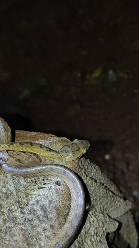
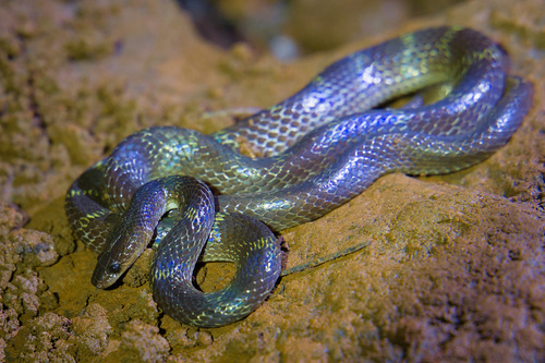
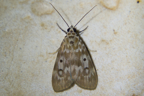
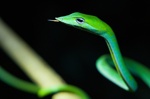
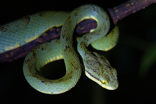
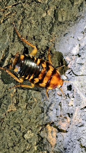
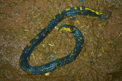
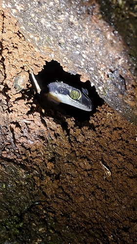
Research-grade observations from iNaturalist (within ~15 mi).
Events
Gallery
Sources
- • Wikipedia
- • Wikidata
- • USGS Earthquake Catalog (global feed)
- • GBIF (Global Biodiversity Information Facility)
- • iNaturalist
- • Open-Meteo / sunrise-sunset.org
- • Wikipedia Pageviews API