Browse / India / Maharashtra / Uran
Uran
Maharashtratown

Uran
Total population
30,400
Demographic figures from Ministry of Statistics (India). Overview below cites Wikipedia and may reference a different year.
City facts
Facts from Wikidata (CC0).
Overview
Uran is a coastal town in Navi Mumbai in Raigad District, Maharashtra in Konkan division. It lies east of Mumbai, across the Dharamtar Creek. Uran is primarily a fishing and agriculture village. The primary languages spoken are Agri and Koli, a dialect of Marathi-Konkani.
Read more on WikipediaHistory & geography
History
The city name is derived from the Hindu goddess Uranavati. It was called Uruvan during the rule of Madhavrao I, the fourth Peshwa of the Maratha Empire. Later, the area was named Uran by the Portuguese and Ooran by the British. Many Indian dynasties have ruled the area. In early history, these included the Maurya Empire, Sātavāhana Empire, Western Kshatrapas, Vākāṭaka Empire, Chalukyas, and Yadavas. The area around Mumbai, including Uran, was under Portuguese and British rule in the 16th to 19th centuries. who battled European naval interests in the 18th century.
Geography
Uran is located at . Uran has an average elevation of . On the tip of a peninsula, Uran is surrounded by sea on three sides. The town of Uran itself is centrally located on the peninsula, flanked by Karanja village to the south and Mora village and port to the north. Uran is home to extensive salt pans, part of a long-standing network of salt manufacturing around Mumbai. The land has been under redevelopment pressure. The Uran wetlands were once home to many species of birds and reptiles, some critically endangered. The wetlands were developed in 2009 and 2010, leaving only the Panje-Dongri wetlands.
Excerpted from the corresponding Wikipedia article (CC BY-SA).
Geography
Coordinates & boundaries from the US Census TIGER/Line shapefiles.
Climate
Air quality
Walkability
Amenities nearby
Wildlife & biodiversity
Most-observed species
- House CrowCorvus splendens Vieillot, 1817 · Aves6,852
- Rock PigeonColumba livia J.F.Gmelin, 1789 · Aves6,223
- Black KiteMilvus migrans (Boddaert, 1783) · Aves6,097
- Indian Pond-HeronArdeola grayii (Sykes, 1832) · Aves4,747
- White-throated KingfisherHalcyon smyrnensis (Linnaeus, 1758) · Aves4,563
- Red-vented BulbulPycnonotus cafer (Linnaeus, 1766) · Aves4,436
- Little Egret/Western Reef-HeronEgretta garzetta (Linnaeus, 1766) · Aves4,424
- Common MynaAcridotheres tristis (Linnaeus, 1766) · Aves3,956
Citizen-science & research observations from the Global Biodiversity Information Facility (GBIF).
Earthquake history
Most recent
- M 4.1 — 2019-07-2425 km WSW of Shirgaon, India
Events from the USGS Earthquake Catalog (global) (FDSN Event Web Service).
Photos
Sights & places nearby
Notable people from here
Nearby places in Maharashtra
- Navi Mumbai11.6 mi away · pop. 1,120,547
- Alibag16.5 mi away · pop. 20,700
- Matheran22.9 mi away · pop. 5,000
- Neral26.8 mi away
- Nagothane26.8 mi away · pop. 5,000
- Kamshet41.3 mi away
- Umberpada41.6 mi away · pop. 5,000
- Saphale48.8 mi away
- Lavasa49.5 mi away
- Mangaon49.8 mi away · pop. 5,000
- Goregaon55.4 mi away
- Shrivardhan57.3 mi away
Geography & sun
Elevation, sunrise/sunset and daylight from Open-Meteo. Solar climatology from NASA POWER.
Nearby airports
Public attention
Pageview totals from the Wikimedia Pageviews API.
Books about this place
Recent natural events nearby
Ground air-quality sensors
Recently spotted species
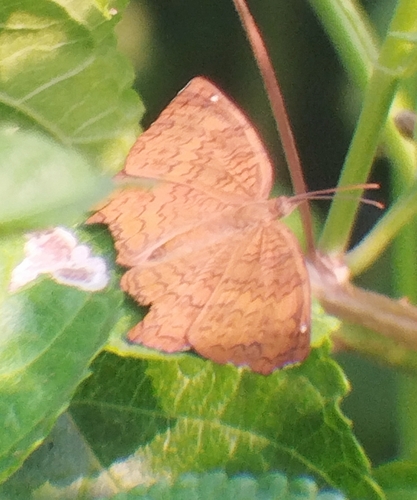
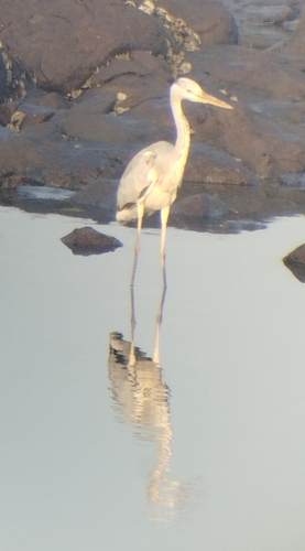
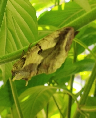
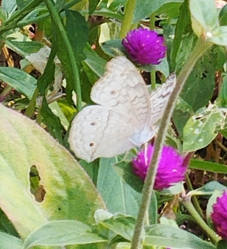
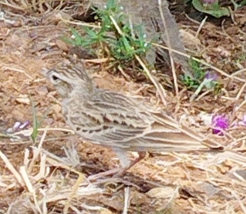
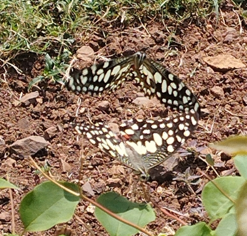
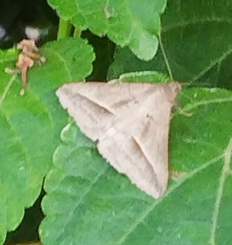
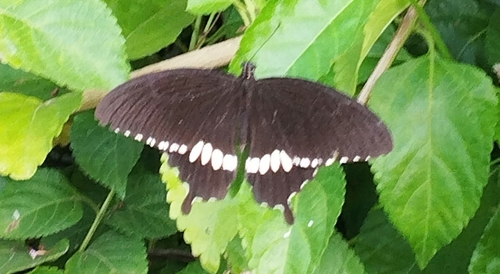
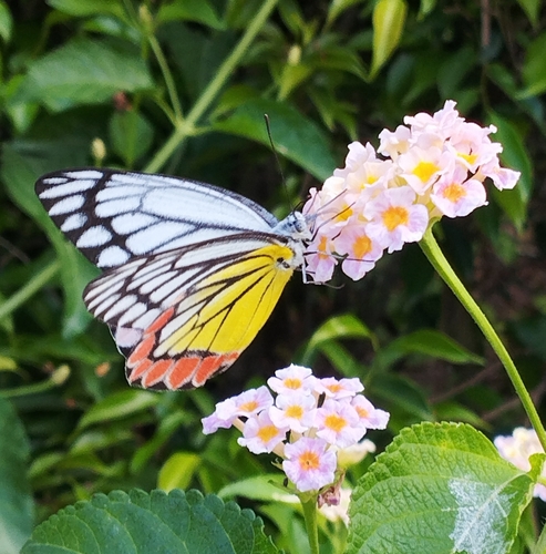
Research-grade observations from iNaturalist (within ~15 mi).
Events
Gallery
Sources
- • Wikipedia
- • Wikidata
- • USGS Earthquake Catalog (global feed)
- • GBIF (Global Biodiversity Information Facility)
- • iNaturalist
- • Open-Meteo / sunrise-sunset.org
- • Wikipedia Pageviews API