Browse / India / Maharashtra / Shrivardhan
Shrivardhan
Maharashtratown

Shrivardhan
Demographic figures from Ministry of Statistics (India). Overview below cites Wikipedia and may reference a different year.
City facts
Facts from Wikidata (CC0).
Overview
Shrivardhan is a subdistrict/upazila/tehsil, city, and local governing body in the Raigad district of the Indian state of Maharashtra. It is renowned as the birthplace of Balaji Vishwanath, the first Peshwa (1713–1720) and father of Bajirao I, who held the position of Deshmukh in the town. It has developed into a seaside resort, along with the nearby town of Harihareshwar, which also has a Shiva temple. Located on a peninsula, the town itself boasts many beaches, in addition to proximity to numerous other beach destinations, such as Diveagar Beach and Kondivali Beach. People from across Maharashtra come to Shrivardhan and the nearby beaches all year round.
Read more on WikipediaHistory & geography
History
Shrivardhan is one of the oldest towns in Maharashtra. It is a town of Peshwas. The Bhat Deshmukhs of Shrivardhan - later popularly known as Peshwas - witnessed the rise and the fall of Marathas after the Chhatrapati Shivaji Maharaj period. Though the capital of Peshwas was Pune, the actual institution of Peshwa (prime-ministership under a symbolic king) was born in Shrivardhan in 1713. Balaji Vishwanath (the first Peshwa) took control of the position and gained de facto rule in the Maratha empire under the now-symbolic rule of the Chatrapati king. The Peshwas administered the Maratha Empire for more than 100 years, a period which ended in 1818 following the defeat of the last Peshwa in the Third Anglo-Maratha War. The third Peshwa, Balaji Bajirao, built a huge house here in 1750, which has recently been renovated. The statue of Balaji Vishwanath was also installed here in 1988. The temple in the town - Shri Laxminarayan Temple - is the main temple of Peshwas. The idol in the temple is quite old and is said to be of Hoysala architecture style. The other temples in the town are of Kusumdevi, Somjai, Bhairavnath and Jivaneshwar.
Geography
Shrivardhan is located in Raigad District of State of Maharashtra. The distance between Shrivardhan and Harihareshwar is 18 km and they are often considered to be twin cities. Diveagar is a quieter place than both cities, which has garnered it recent notice which has initiated its transformation into a popular tourist destination. Kondivali beach is also an important tourist destination, located just 10 minutes from Shrivardhan by bike. Most of the people are engaged in fishing and agriculture, with fish being a popular offering for tourism. Shriwardhan is mostly covered with mango and coconut trees. The city is home to many hotels and resorts, and is popular as a destination for weekend getaways and group picnics. An availability of Maharashtra state transport buses, which provide connections to all neighbouring cities. Buses and private vehicles connect Mumbai (185 km) via the NH66 highway route, Pune (163 km), Harihareshwar (20 km) and Panvel (125 km). The nearest train station is in Mangaon, located 45 km away from Shrivardhan with strong connections throughout the Konkan coast to Pune and Mumbai.
Excerpted from the corresponding Wikipedia article (CC BY-SA).
Geography
Coordinates & boundaries from the US Census TIGER/Line shapefiles.
Climate
Air quality
Walkability
Amenities nearby
Wildlife & biodiversity
Most-observed species
- Red-whiskered BulbulPycnonotus jocosus (Linnaeus, 1758) · Aves152
- Brahminy KiteHaliastur indus (Boddaert, 1783) · Aves141
- Red-vented BulbulPycnonotus cafer (Linnaeus, 1766) · Aves139
- White-throated KingfisherHalcyon smyrnensis (Linnaeus, 1758) · Aves129
- Green Bee-eaterMerops orientalis Latham, 1801 · Aves119
- Spotted DoveSpilopelia chinensis (Scopoli, 1786) · Aves97
- White-bellied Sea-EagleHaliaeetus leucogaster (Gmelin, 1788) · Aves86
- White-rumped VultureGyps bengalensis (Gmelin, 1788) · Aves82
Citizen-science & research observations from the Global Biodiversity Information Facility (GBIF).
Earthquake history
Most recent
- M 4.2 — 2005-11-2025 km ENE of Chipl?n, India
Events from the USGS Earthquake Catalog (global) (FDSN Event Web Service).
Photos
Sights & places nearby
Notable people from here
Nearby places in Maharashtra
- Dabhol33.7 mi away
- Nagothane34.2 mi away · pop. 5,000
- Guhagar40.9 mi away
- Alibag42.3 mi away · pop. 20,700
- Chiplun47.9 mi away · pop. 159,000
- Panchgani51.1 mi away · pop. 5,000
- Jaigarh54 mi away
- Wai56.8 mi away
- Matheran66.4 mi away · pop. 5,000
- Navi Mumbai67.4 mi away · pop. 1,120,547
- Saswad68.3 mi away · pop. 31,800
- Neral69.6 mi away
Geography & sun
Elevation, sunrise/sunset and daylight from Open-Meteo. Solar climatology from NASA POWER.
Nearby airports
Public attention
Pageview totals from the Wikimedia Pageviews API.
Books about this place
Recent natural events nearby
Ground air-quality sensors
Recently spotted species
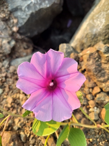

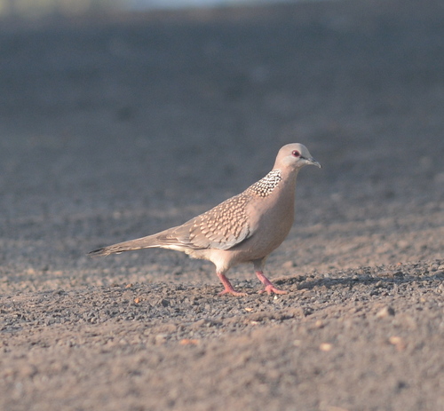
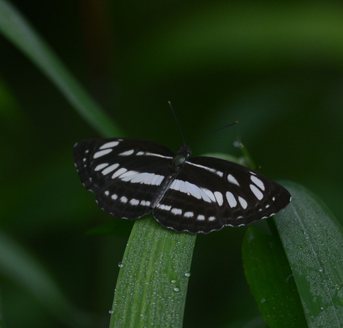
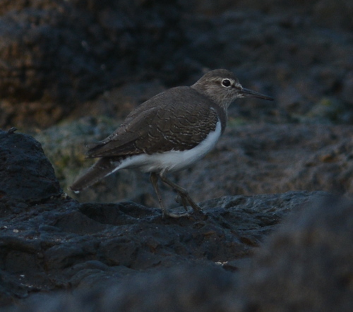
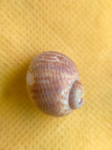
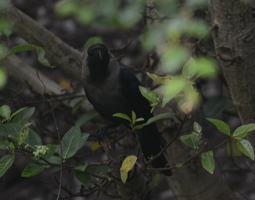
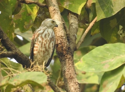
Research-grade observations from iNaturalist (within ~15 mi).
Events
Gallery
Sources
- • Wikipedia
- • Wikidata
- • USGS Earthquake Catalog (global feed)
- • GBIF (Global Biodiversity Information Facility)
- • iNaturalist
- • Open-Meteo / sunrise-sunset.org
- • Wikipedia Pageviews API