Browse / India / Maharashtra / Dabhol
Dabhol
Maharashtratown

Dabhol
Demographic figures from Ministry of Statistics (India). Overview below cites Wikipedia and may reference a different year.
City facts
Facts from Wikidata (CC0).
Overview
Dabhol, also known as Dabul, is a small seaport town in the Ratnagiri district of Maharashtra in India. It is located on the northern and southern sides of the Vashishti River that later flows by the town of Chiplun. The Dabhol LNG power plant that had been set up by Enron is located on the southern side of Dabhol, between the villages of Veldur and Ranavi.
Read more on WikipediaHistory & geography
History
The Russian traveller Afanasy Nikitin, who visited India from 1468 to 1474, found Dabhol as a large town and extensive seaport. The horses from Mysore, Arabia, Khorasan and Nighostan were brought here for trade. Dabhol had links with all major ports from India to Ethiopia. In the 15th and 16th centuries, Dabul was an opulent Muslim trade centre, first under the Bahmani, later under the Badar sultans of Bijapur. As the port with most convenient access to the Bahmani sultanate's capital at Bidar, Dabul's fortunes ascended quickly with that dynasty. At its height, it was arguably the most important port between Chaul and Goa. It was exactly the prominence of Dabul as a Muslim trade centre and port that led it to be bombarded, sacked and razed by a Portuguese expeditionary force (Battle of Dabul) under Francisco de Almeida in December, 1508, in a prelude to the famous Battle of Diu. Although the city's fort was not taken, it was only the first of several times, in the course of the next few decades, that the Portuguese tried to destroy Dabul. By the time of the last recorded attack, in 1571, the Governor of Dabhul was Khwaja Ali Shirazi. The battle led to killing 150 men at Dabhol. Dabhol was of great importance in the 14th, 15th and 16th centuries. It used to be the principal port of southern Konkani region, carrying on trade with ports in the Mediterranean Sea, the Red Sea and the Persian Gulf. During the 13th to 15th centuries, this port was ruled by the Bahmani dynasty and was known as Mustafabad. Later on it was Hamjabad, and then it was Dabhol. Dabul was conquered by Shivaji around 1660 CE and annexed to the new Maratha kingdom. After being captured by Chhatrapati Shivaji Maharaj, it was passed on to Chhatrapati Sambhaji Maharaj who gave it to Khando Ballal…
Excerpted from the corresponding Wikipedia article (CC BY-SA).
Geography
Coordinates & boundaries from the US Census TIGER/Line shapefiles.
Climate
Air quality
Walkability
Amenities nearby
Wildlife & biodiversity
Most-observed species
- Red-vented BulbulPycnonotus cafer (Linnaeus, 1766) · Aves2,488
- Red-whiskered BulbulPycnonotus jocosus (Linnaeus, 1758) · Aves2,468
- Oriental Magpie-RobinCopsychus saularis (Linnaeus, 1758) · Aves2,325
- Spotted DoveSpilopelia chinensis (Scopoli, 1786) · Aves2,273
- Common TailorbirdOrthotomus sutorius (Pennant, 1769) · Aves2,171
- Purple-rumped SunbirdLeptocoma zeylonica (Linnaeus, 1766) · Aves2,163
- Common IoraAegithina tiphia (Linnaeus, 1758) · Aves2,153
- White-throated KingfisherHalcyon smyrnensis (Linnaeus, 1758) · Aves2,139
Citizen-science & research observations from the Global Biodiversity Information Facility (GBIF).
Earthquake history
Most recent
- M 4.3 — 2019-06-2026 km S of Koynanagar, India
- M 4.4 — 2012-04-1411 km ESE of M?khjan, India
- M 4.2 — 2010-01-1222 km S of Koynanagar, India
- M 4.3 — 2009-12-1217 km SSW of M?khjan, India
- M 4.4 — 2009-12-1226 km SE of M?khjan, India
- M 4.8 — 2009-12-1229 km NW of Malk?pur, India
Events from the USGS Earthquake Catalog (global) (FDSN Event Web Service).
Photos
Sights & places nearby
Notable people from here


People born within ~10 km, from Wikidata (CC0). Click any name for their Wikipedia article.
Nearby places in Maharashtra
- Guhagar7.3 mi away
- Jaigarh20.5 mi away
- Chiplun22.1 mi away · pop. 159,000
- Shrivardhan33.7 mi away
- Ratnagiri41.8 mi away · pop. 76,200
- Panchgani46.7 mi away · pop. 5,000
- Patan49.5 mi away
- Wai53 mi away
- Nagothane65.8 mi away · pop. 5,000
- Rajapur68.3 mi away · pop. 10,499
- Karad69.2 mi away · pop. 53,900
- Malkapur69.2 mi away · pop. 31,600
Geography & sun
Elevation, sunrise/sunset and daylight from Open-Meteo. Solar climatology from NASA POWER.
Nearby airports
Public attention
Pageview totals from the Wikimedia Pageviews API.
Books about Dabhol
Search results from Open Library.
Recent natural events nearby
Ground air-quality sensors
Recently spotted species
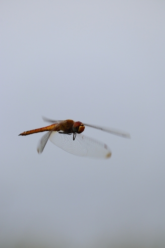
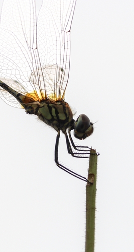
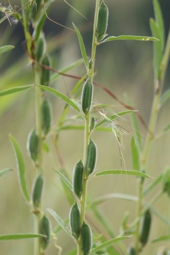
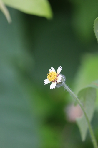
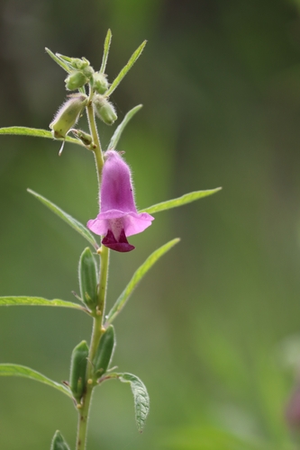
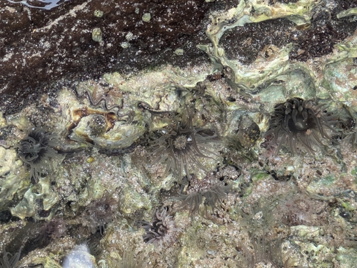
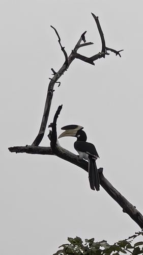
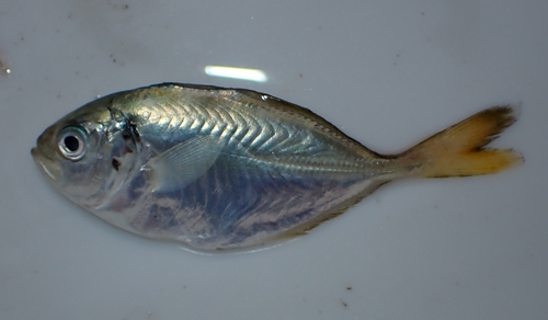
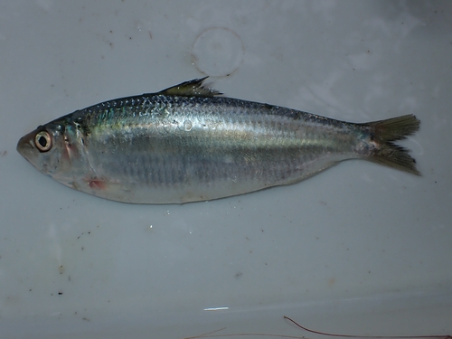
Research-grade observations from iNaturalist (within ~15 mi).
Events
Gallery
Sources
- • Wikipedia
- • Wikidata
- • USGS Earthquake Catalog (global feed)
- • GBIF (Global Biodiversity Information Facility)
- • iNaturalist
- • Open-Meteo / sunrise-sunset.org
- • Wikipedia Pageviews API
- • Open Library