Browse / India / Maharashtra / Mangaon
Mangaon
Maharashtratown

Mangaon
Total population
5,000
Founded
2015
Demographic figures from Ministry of Statistics (India). Overview below cites Wikipedia and may reference a different year.
City facts
Facts from Wikidata (CC0).
Overview
Mangaon is a Village and tehsil (council) in the Konkan Division, India. It is located in the Raigad district, 80 km (49.7 mi) from Alibaug headquarters, and 139 km (86.4 mi) from the capital city of Bombay (Mumbai). The area is located towards the Panjim side of Goa.
Read more on WikipediaHistory & geography
History
Mangaon has been identified with the site of the ancient village of Kothuraka, mentioned in the so-called Kothuraka grant of the 5th-century Vakataka ruler Pravarasena II. The same inscription also mentions a place called Maṇḍuki-grāma, which has been identified with the nearby village of Mandgaon, 3 km north of Mangaon.
Excerpted from the corresponding Wikipedia article (CC BY-SA).
Geography
Coordinates & boundaries from the US Census TIGER/Line shapefiles.
Climate
Air quality
Walkability
Amenities nearby
Wildlife & biodiversity
Earthquake history
Photos
Sights & places nearby
Notable people from here
Nearby places in Maharashtra
Geography & sun
Nearby airports
Public attention
Books about this place
Recent natural events nearby
Ground air-quality sensors
Recently spotted species
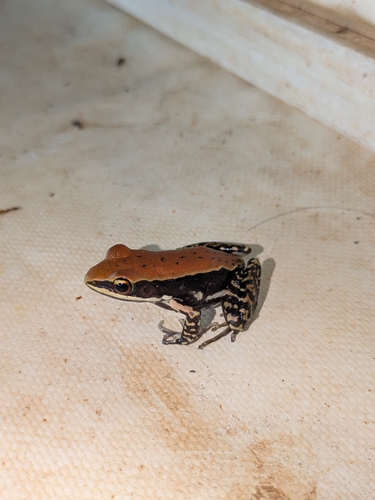
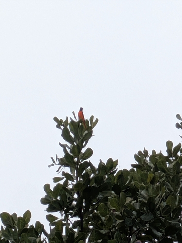
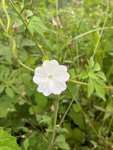
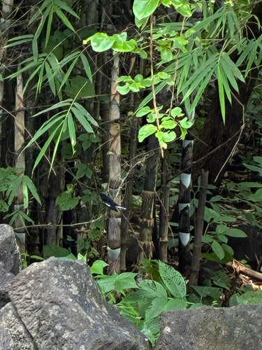
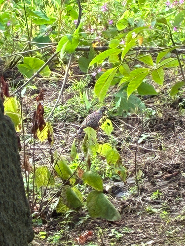
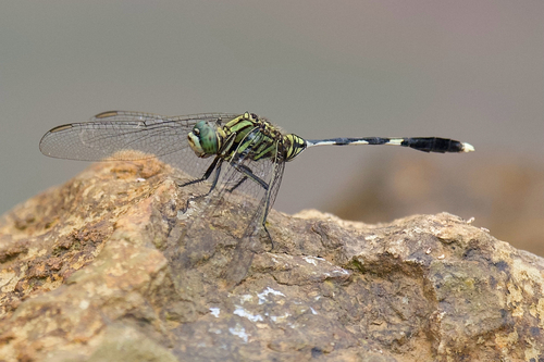
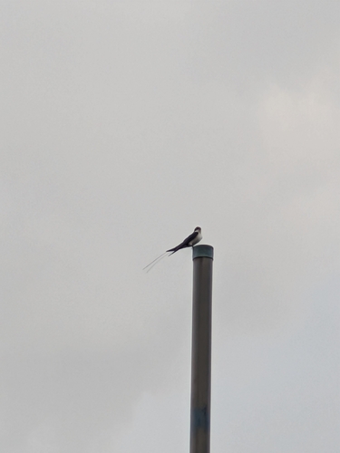
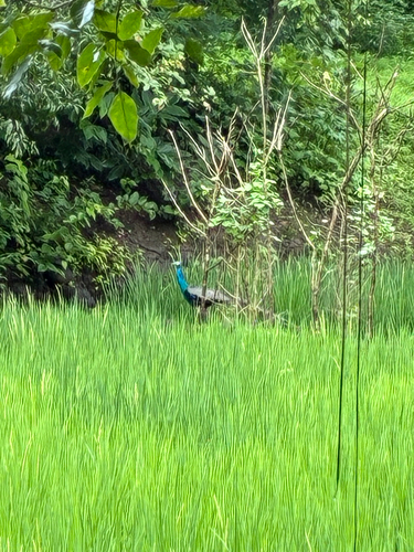
Research-grade observations from iNaturalist (within ~15 mi).
Events
Gallery
Sources
- • Wikipedia
- • Wikidata
- • iNaturalist