Browse / India / Maharashtra / Dhayari
Dhayari
Maharashtratown
Demographic figures from Ministry of Statistics (India). Overview below cites Wikipedia and may reference a different year.
City facts
Overview
As a town in Maharashtra, India, Dhayari occupies its own corner of the country. No reliable population estimate is published for this entry in the open data we rely on. Coordinates of 18.437°, 73.819° situate Dhayari in the tropical zone of the northern hemisphere. Solar-resource estimates put the area at about 1,874 kWh/m² of solar irradiance per year with sunshine for roughly 73% of daylight hours. Climatically, locations at this latitude tend to experience warm temperatures throughout the year with pronounced wet and dry seasons. The sections below expand on demographics, weather, terrain, hazards and nearby points of interest using publicly available datasets.
Summary composed automatically from structured open data on this page. See our Terms for details.
History & geography
Geography
Dhayari is located at the intersection of Sinhagad Road and NH4 (Mumbai-Bangalore National Highway) in Pune city. It is one of the prime locations of Pune City as it is close to many important places of Pune. It is 8–9km from Swargate, 7–8km from Deccan, Fergusson College Road & Jangli Maharaj Road. It is around 20km from Hinjawadi IT Park. It is close to NH4 and an within easy reach of Warje and Chandani Chowk. It is green and surrounded by hills. 5km to its west is the Khadakwasla reservoir. Sinhagad fort is 20km from Dhayari. Dhayari is an upcoming residential area of Pune suburbs. Pune city ring road will pass through Dhayari. It is 13km from Pune Railway Station. Due to its location, Dhayari is a connecting point between Sinhagad fort and Pune. Symphony IT park is located near Dhayari. DSK Vishwa, Majestique Venice and Nanded City are major residential societies in Dhayari.
Excerpted from the corresponding Wikipedia article (CC BY-SA).
Geography
Coordinates & boundaries from the US Census TIGER/Line shapefiles.
Climate
Air quality
Walkability
Amenities nearby
Wildlife & biodiversity
Most-observed species
- Black KiteMilvus migrans (Boddaert, 1783) · Aves31,835
- Rock PigeonColumba livia J.F.Gmelin, 1789 · Aves31,162
- Common MynaAcridotheres tristis (Linnaeus, 1766) · Aves29,233
- Large-billed CrowCorvus macrorhynchos Wagler, 1827 · Aves27,125
- Red-vented BulbulPycnonotus cafer (Linnaeus, 1766) · Aves26,819
- Rose-ringed ParakeetPsittacula krameri (Scopoli, 1769) · Aves25,912
- Purple SunbirdCinnyris asiaticus (Latham, 1790) · Aves24,199
- House CrowCorvus splendens Vieillot, 1817 · Aves22,281
Citizen-science & research observations from the Global Biodiversity Information Facility (GBIF).
Earthquake history
Most recent
- M 4.5 — 2008-07-296 km NNW of Rahimatpur, India
- M 4.2 — 2005-11-2025 km ENE of Chipl?n, India
Events from the USGS Earthquake Catalog (global) (FDSN Event Web Service).
Photos
Sights & places nearby
Notable people from here
Nearby places in Maharashtra
- Saswad15.2 mi away · pop. 31,800
- Chakan22.6 mi away · pop. 41,100
- Jejuri25 mi away · pop. 5,000
- Wai33.9 mi away
- Nira34.8 mi away · pop. 5,000
- Panchgani35.5 mi away · pop. 5,000
- Lonand36.6 mi away · pop. 5,000
- Kedgaon36.7 mi away
- Nagothane45.4 mi away · pop. 5,000
- Neral52.3 mi away
- Matheran52.4 mi away · pop. 5,000
- Baramati53.4 mi away · pop. 54,400
Geography & sun
Elevation, sunrise/sunset and daylight from Open-Meteo. Solar climatology from NASA POWER.
Nearby airports
Public attention
Pageview totals from the Wikimedia Pageviews API.
Books about this place
Recent natural events nearby
Ground air-quality sensors
Recently spotted species
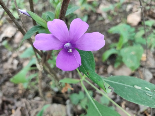
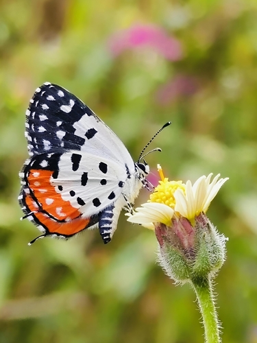
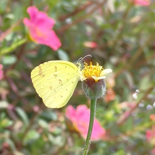
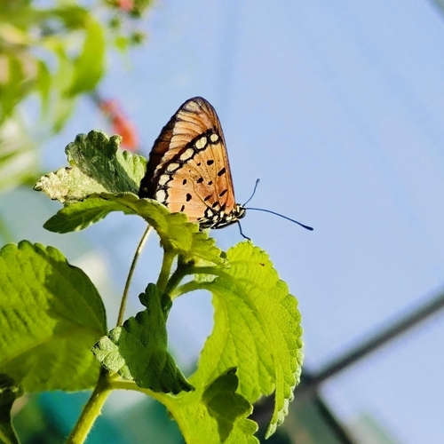
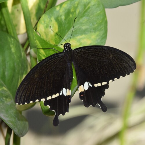
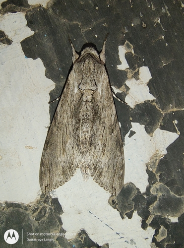
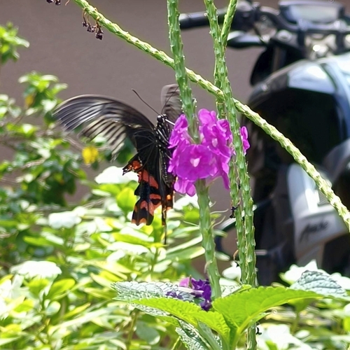
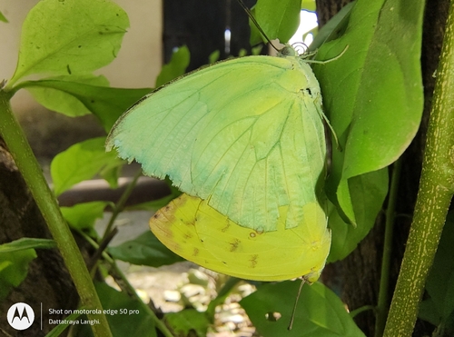
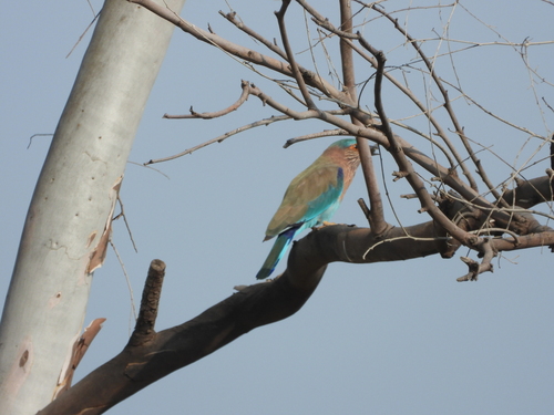
Research-grade observations from iNaturalist (within ~15 mi).
Events
Gallery
Sources
- • Wikipedia
- • USGS Earthquake Catalog (global feed)
- • GBIF (Global Biodiversity Information Facility)
- • iNaturalist
- • Open-Meteo / sunrise-sunset.org
- • Wikipedia Pageviews API