Browse / India / Rajasthan / Chhoti Sadri
Chhoti Sadri
Rajasthantown
Total population
18,300
Air quality index
Demographic figures from Ministry of Statistics (India). Overview below cites Wikipedia and may reference a different year.
City facts
Facts from Wikidata (CC0).
Overview
Chhoti Sadri is a town and a municipality in Pratapgarh district in the state of Rajasthan, India.
Read more on WikipediaHistory & geography
Geography
Chhoti Sadri is located at . It has an average elevation of .
Excerpted from the corresponding Wikipedia article (CC BY-SA).
Geography
Coordinates & boundaries from the US Census TIGER/Line shapefiles.
Climate
Air quality
Current readings from Open-Meteo Air Quality API (Copernicus CAMS European reanalysis).
Walkability
Amenities nearby
Wildlife & biodiversity
Most-observed species
- Red-wattled LapwingVanellus indicus (Boddaert, 1783) · Aves120
- Red-vented BulbulPycnonotus cafer (Linnaeus, 1766) · Aves118
- Rock PigeonColumba livia J.F.Gmelin, 1789 · Aves115
- Rose-ringed ParakeetPsittacula krameri (Scopoli, 1769) · Aves102
- Common MynaAcridotheres tristis (Linnaeus, 1766) · Aves96
- Laughing DoveSpilopelia senegalensis (Linnaeus, 1766) · Aves88
- House CrowCorvus splendens Vieillot, 1817 · Aves83
- White-throated KingfisherHalcyon smyrnensis (Linnaeus, 1758) · Aves74
Citizen-science & research observations from the Global Biodiversity Information Facility (GBIF).
Earthquake history
Events from the USGS Earthquake Catalog (global) (FDSN Event Web Service).
Photos
Sights & places nearby
Notable people from here
People born within ~10 km, from Wikidata (CC0). Click any name for their Wikipedia article.
Nearby places in Rajasthan
- Chittorgarh34.9 mi away · pop. 116,400
- Salumbar44.6 mi away · pop. 16,400
- Fatehnagar48.5 mi away · pop. 22,800
- Gangdhar65.7 mi away · pop. 8,600
- Bhawani Mandi71.3 mi away · pop. 42,300
- Raipur78.1 mi away · pop. 7,300
- Kushalgarh83.3 mi away · pop. 10,700
- Kaithoon94.7 mi away · pop. 24,200
- Keshoraipatan99.9 mi away · pop. 24,600
- Marwar Junction115.2 mi away · pop. 12,000
- Sarwar117.7 mi away · pop. 20,300
- Abu Road120.9 mi away · pop. 52,300
Geography & sun
Elevation, sunrise/sunset and daylight from Open-Meteo. Solar climatology from NASA POWER.
Nearby airports
Public attention
Pageview totals from the Wikimedia Pageviews API.
Books about this place
Recent natural events nearby
Ground air-quality sensors
Recently spotted species
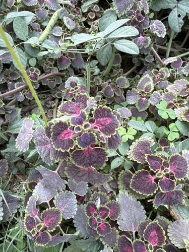
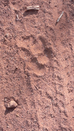
Research-grade observations from iNaturalist (within ~15 mi).
Events
Gallery
Sources
- • Wikipedia
- • Wikidata
- • Open-Meteo Air Quality (CAMS)
- • USGS Earthquake Catalog (global feed)
- • GBIF (Global Biodiversity Information Facility)
- • iNaturalist
- • Open-Elevation
- • Open-Meteo / sunrise-sunset.org
- • Wikipedia Pageviews API