Browse / United States / Indiana / Corydon
Corydon
Indianatown

Corydon
Total population
3,157
Median home value
$144,600
Bachelor's+
Median income
$56,513
Founded
1808
Demographic figures from US Census Bureau · ACS 5-year estimates. Overview below cites Wikipedia and may reference a different year.
- Heat Advisory · ModerateHeat Advisory issued September 17 at 12:02PM EDT until September 17 at 8:00PM EDT by NWS Louisville KY
Source: NOAA National Weather Service.
City facts
Facts from Wikidata (CC0).
Overview
Corydon is a town in Harrison Township and the county seat of Harrison County, Indiana, located north of the Ohio River in the extreme southern part of the US state. Corydon was founded in 1808 and served as the capital of the Indiana Territory from 1813 to 1816. It was the site of Indiana's first constitutional convention, which was held June 10–29, 1816. Forty-three delegates convened to consider statehood for Indiana and drafted its first state constitution. Under Article XI, Section 11, of the Indiana 1816 constitution, Corydon was designated as the capital of the state, which it remained until 1825, when the seat of state government was moved to Indianapolis. In 1863, during the American Civil War, Corydon was the site of the Battle of Corydon, the only official pitched battle waged in Indiana during the war. More recently, the town's numerous historic sites have helped it become a tourist destination. A portion of its downtown area is listed in the National Register of Historic Places as the Corydon Historic District. As of the 2020 census, Corydon had a population of 3,153.
Read more on WikipediaHistory & geography
History
During the American Revolution, George Rogers Clark captured the surrounding area of what became the town of Corydon from the British, bringing it under the control of the fledgling United States government. The first American settlers entered Harrison County in 1792 and included the families of Harvey Heth and Squire Boone, who settled south of Corydon, and Dennis Pennington and the Harbisons, who settled east of Corydon. The region was in the midst of the Northwest Indian War during that period and the families were forced by Native Americans to leave the region and return to Kentucky. In 1803, Edward Smith and his family became the first Americans to settle in what would become Corydon. Following the completion of the 1807 land survey, he purchased the tract of land he had already been living on; at that time his family were the only recorded inhabitants of the future site of the town. In 1804 Harrison purchased a tract of land where Big Indian Creek and Little Indian Creek join to become Indian Creek and decided to build a town on the site. Harrison built a two-story home in the town, but sold it in 1809. The town gets its name from "The Pastoral Elegy", a hymn that celebrates the death of a shepherd named Corydon. Tradition says that Harrison asked Edward Smith's daughter, Jenny, to name the town and she chose the name from Harrison's favorite hymn, "The Pastoral Elegy". Harrison sold the town site to Harvey Heth in 1807. The first county courthouse was built at the northwest corner of the town at the summit of High Street. Corydon became the second capital of the Indiana Territory on May 1, 1813, when it was relocated from Vincennes in Knox County. Opponents of William Henry Harrison, the former territorial governor, wanted to move the capital away from his…
Geography
Corydon is located near the center of Harrison County. Indiana State Road 62 passes through the town from east to west; Interstate 64 passes in the same direction less than a mile north of the town. The state capitol of Indianapolis is about to the north, and the city of Louisville, Kentucky is about to the east. Indian Creek passes through the town; the creek continues to the southwest where it empties into the Ohio River. According to the 2010 census, Corydon has a total area of , all land.
Excerpted from the corresponding Wikipedia article (CC BY-SA).
Demographics & economy
Race & ethnicity
Source: US Census Bureau — American Community Survey, 5-year estimates.
Geography
Coordinates & boundaries from the US Census TIGER/Line shapefiles.
Climate
Current forecast
Forecast for Corydon, IN from NOAA NWS API.
Air quality
Industrial & pollution facilities
Natural hazard risk
Health (adults)
Walkability
Amenities nearby
Wildlife & biodiversity
Most-observed species
- Northern CardinalCardinalis cardinalis (Linnaeus, 1758) · Aves5,260
- Tufted TitmouseBaeolophus bicolor (Linnaeus, 1766) · Aves4,655
- Carolina ChickadeePoecile carolinensis (Audubon, 1834) · Aves4,231
- Mourning DoveZenaida macroura (Linnaeus, 1758) · Aves3,871
- American CrowCorvus brachyrhynchos C.L.Brehm, 1822 · Aves3,434
- Downy WoodpeckerDryobates pubescens (Linnaeus, 1766) · Aves3,299
- Blue JayCyanocitta cristata (Linnaeus, 1758) · Aves3,259
- Carolina WrenThryothorus ludovicianus (Latham, 1790) · Aves3,254
Citizen-science & research observations from the Global Biodiversity Information Facility (GBIF).
Schools
Earthquake history
Photos
Sights & places nearby
Notable people from here
Nearby places in Indiana
Geography & sun
Elevation, sunrise/sunset and daylight from Open-Meteo. Solar climatology from NASA POWER.
Nearby airports
Public attention
Pageview totals from the Wikimedia Pageviews API.
Books about Corydon


Search results from Open Library.
Recent natural events nearby
Ground air-quality sensors
Recently spotted species
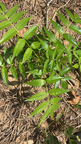
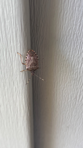
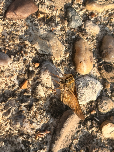
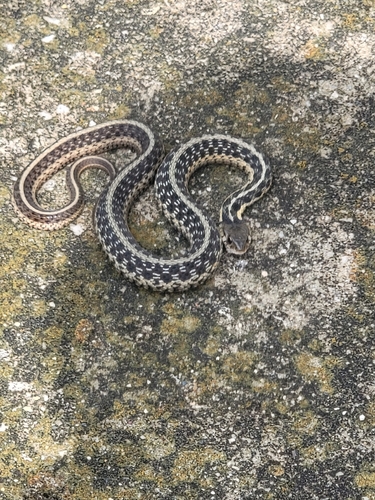
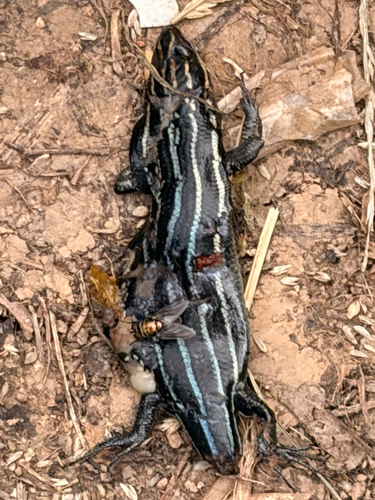
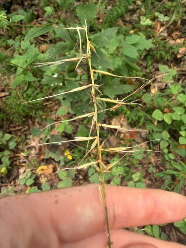
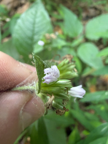
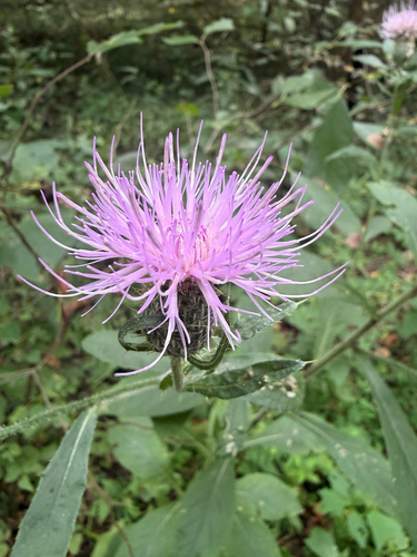
Research-grade observations from iNaturalist (within ~15 mi).
Nearest stream gauge
Events
Gallery
Sources
- • Wikipedia
- • US Census Bureau (ACS 5-year estimates)
- • NOAA National Weather Service
- • Wikidata
- • GBIF (Global Biodiversity Information Facility)
- • iNaturalist
- • Open-Meteo / sunrise-sunset.org
- • Wikipedia Pageviews API
- • Open Library