Browse / India / Bihar / Darbhanga
Darbhanga
Biharcity

Darbhanga
Total population
100,000
Demographic figures from Ministry of Statistics (India). Overview below cites Wikipedia and may reference a different year.
City facts
Facts from Wikidata (CC0).
Overview
Darbhanga, is one of the largest cities and municipal corporation in the Indian state of Bihar in India, and is considered an important city in North Bihar. It serves as the headquarters of the Darbhanga district and the Darbhanga division. Darbhanga is also referred to as the gateway to Bengal, because it is held that the name Darbhanga has been derived from Dwār Banga or Dari – Banga, meaning the 'door of Bengal'.
Read more on WikipediaHistory & geography
History
The city was the capital of the Darbhanga Raj, an estate established in the 16th century, containing the Anandbagh Palace. It was constituted as a municipality in 1864. Darbhanga is home to the Kameshwara Singh Darbhanga Sanskrit University (established 1961), which is located on the grounds of the palace, and the Lalit Narayan Mithila University (established 1972). Darbhanga has a museum housing archaeological materials, as well as historical and handicrafts exhibits. Darbhanga has been a centre for music since the late 18th century and has produced multiple well-known dhrupad (an ancient form of Indian classical music) musicians. A major rail and road junction, Darbhanga trades in agricultural produce, mangoes, and fish. In addition to food processing, the city has a light manufacturing industry. Darbhanga is situated on a vast alluvial plain, with low-lying areas containing marshes and lakes. Grains, oilseeds, tobacco, sugarcane, and mangoes are important crops in the region. Under the British Raj, Darbhanga was a part of Sarkar Tirhut until 1875, when it was constituted into a separate district. Its subdivisions had been constituted earlier – Darbhanga Sadar in 1845, Madhubani in 1866, and Samastipur (then known as Tajpur) in 1867. The city of Darbhanga is said to have been founded by one Darbhangi Khan, about whom practically nothing is known. It is also held that the name Darbhanga is derived from Dwar Banga or Dar-e-Banga, meaning the 'door of Bengal'. This etymology does not appear to be accurate as the division between Bengal and Bihar has always been held to be further to the east. Nonetheless, the region has a linguistic and cultural affinity with Bengal. Excavation at Balirajgarh revealed brick fortifications dating back to the 2nd century BC.
Geography
Darbhanga is located in the northern part of Bihar. It lies between 25.53 degrees - 26.27 degrees N and 85.45 degrees - 86.25 degrees E at an average elevation of 171 feet (52 m). Darbhanga district covers an area of 2,279 km2. Darbhanga is bounded by Madhubani district in the north, Samastipur district in the south, Saharsa district in the east, Sitamarhi district, Muzaffarpur district in the west and Khagaria district in south-east. Being located in Mithilanchal, Darbhanga district has a vast fertile alluvial plain devoid of any hills. It has a gentle slope from north to south direction having a depression in the centre. Darbhanga experiences a humid subtropical climate. It experiences three main seasons which are winter, summer, and rainy seasons. May is the hottest month when the temperature reaches up to 43 °C. Darbhanga district receives an average of 1142.3 mm rainfall and almost 92% of the annual rainfall is received during monsoon.
Excerpted from the corresponding Wikipedia article (CC BY-SA).
Geography
Coordinates & boundaries from the US Census TIGER/Line shapefiles.
Climate
Air quality
Walkability
Amenities nearby
Wildlife & biodiversity
Most-observed species
- House CrowCorvus splendens Vieillot, 1817 · Aves27
- Indian Pond-HeronArdeola grayii (Sykes, 1832) · Aves26
- Common MynaAcridotheres tristis (Linnaeus, 1766) · Aves23
- Black KiteMilvus migrans (Boddaert, 1783) · Aves18
- Large-billed CrowCorvus macrorhynchos Wagler, 1827 · Aves15
- Little CormorantMicrocarbo niger (Vieillot, 1817) · Aves15
- Spotted DoveSpilopelia chinensis (Scopoli, 1786) · Aves14
- Little Egret/Western Reef-HeronEgretta garzetta (Linnaeus, 1766) · Aves13
Citizen-science & research observations from the Global Biodiversity Information Facility (GBIF).
Earthquake history
Most recent
- M 4.3 — 2015-04-2634 km N of Janakpur, Nepal
Events from the USGS Earthquake Catalog (global) (FDSN Event Web Service).
Photos
Sights & places nearby
Notable people from here


People born within ~10 km, from Wikidata (CC0). Click any name for their Wikipedia article.
Nearby places in Bihar
- Madhubani17.4 mi away · pop. 70,000
- Shivaji Nagar19.9 mi away
- Samastipur21.8 mi away · pop. 5,000
- Jhanjharpur24.7 mi away
- Babu Barhi31.2 mi away
- Muzaffarpur32 mi away · pop. 100,000
- Jainagar33.3 mi away · pop. 5,000
- Sursand35.4 mi away · pop. 5,000
- Kurhani37 mi away
- Sitamarhi39 mi away · pop. 5,000
- Khutauna39.1 mi away
- Bhagwanpur42.7 mi away
Geography & sun
Elevation, sunrise/sunset and daylight from Open-Meteo. Solar climatology from NASA POWER.
Nearby airports
Public attention
Pageview totals from the Wikimedia Pageviews API.
Books about Darbhanga
Search results from Open Library.
Recent natural events nearby
Ground air-quality sensors
Recently spotted species
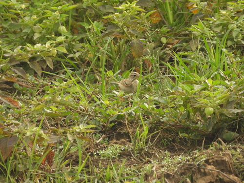
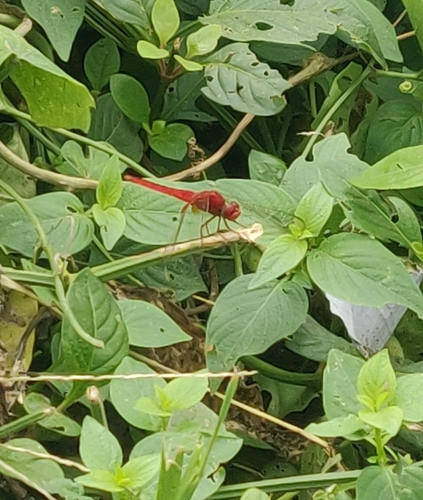
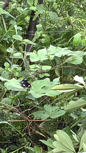
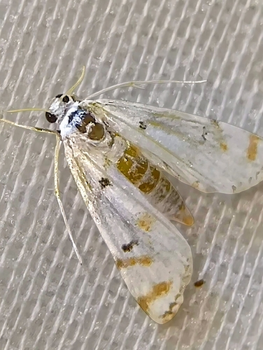
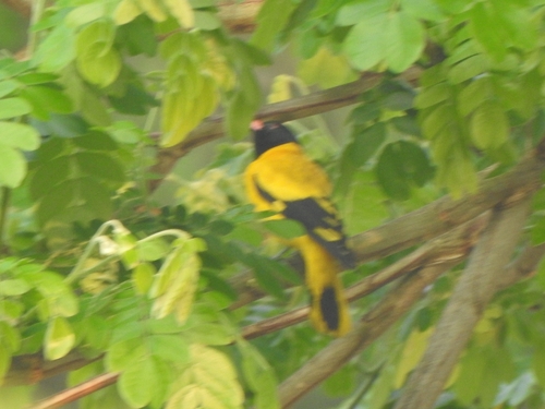

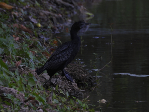
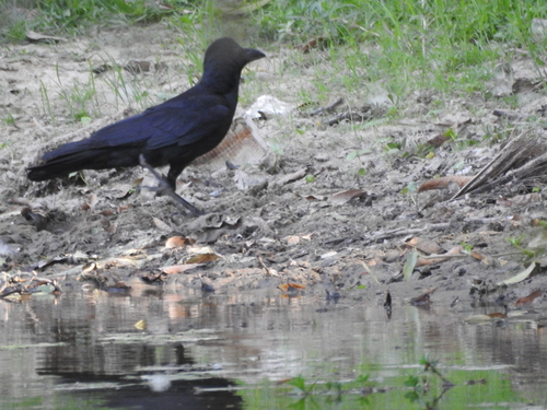
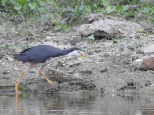
Research-grade observations from iNaturalist (within ~15 mi).
Events
Gallery
Sources
- • Wikipedia
- • Wikidata
- • USGS Earthquake Catalog (global feed)
- • GBIF (Global Biodiversity Information Facility)
- • iNaturalist
- • Open-Meteo / sunrise-sunset.org
- • Wikipedia Pageviews API
- • Open Library