Browse / India / Bihar / Muzaffarpur
Muzaffarpur
Biharcity

Muzaffarpur
Total population
100,000
Founded
1875
Demographic figures from Ministry of Statistics (India). Overview below cites Wikipedia and may reference a different year.
City facts
Facts from Wikidata (CC0).
Overview
Muzaffarpur is a city in the Muzaffarpur district, situated on the banks of the Burhi Gandak River in the Tirhut division of the Indian state of Bihar. It serves as the administrative headquarters of both the Tirhut division and the Muzaffarpur district. Muzaffarpur is the fourth most populous city in Bihar and is often referred to as the Capital of North Bihar.
Read more on WikipediaHistory & geography
History
Muzaffarpur was created in 1875 for administrative convenience by splitting the former Tirhut district. The present district traces its origins to the 18th century and is named after Muzaffar Khan, an Amil (revenue officer) under British rule. The region's history extends back to ancient Indian epics, including the Ramayana. Historically known as Videha, the area was ruled by King Janak, father of Goddess Sita (also known as Vaidehi), who is said to have been born in Sitamarhi, a place considered sacred in Hindu tradition. The earliest recorded history of the district begins with the Vrijji Republic, a confederation of eight clans dominated by the Licchavis. The powerful kingdom of Magadh formed matrimonial alliances with the Licchavis in 519 BCE. Ajatshatru later invaded Vaishali and established Patliputra (modern Patna). Ambarati, located 40 km from Muzaffarpur, is believed to be the home of Amrapali, a famed royal dancer of Vaishali. Vaishali was also a center of religious renaissance and is notable as the birthplace of Mahavir, the 24th Jain Tirthankara, a contemporary of Gautama Buddha. Between the 7th and 11th centuries CE, Muzaffarpur was ruled by various dynasties, including those of Emperor Harsha Vardhan, the Palas, the Chedis, and the Senas. The region came under Muslim control in the early 14th century, with rulers like Ghiyasuddin Tughlaq consolidating power. The Simraon dynasty in neighboring Champaran once extended its influence over Mithila and Nepal until Tughlaq Shah invaded Tirhut in 1323. Later, the area fell under the control of the Jaunpur Sultanate and then the Delhi Sultanate. The Nawabs of Bengal also exercised control before the region became part of the Mughal Empire. Following the British victory at the Battle of Buxar in 1764,…
Geography
Muzaffarpur is located at . The city lies in a highly active seismic zone of India. In the disastrous earthquake on 15 January 1934, much of the town suffered severe damage and many people died. It has an average elevation of 47 meters (154 feet). This saucer shaped, low-centered town lies on the great Indo-Gangetic plains of Bihar, over Himalayan silt and sand brought by the glacier-fed and rain-fed meandering rivers of the Himalayas.
Excerpted from the corresponding Wikipedia article (CC BY-SA).
Geography
Coordinates & boundaries from the US Census TIGER/Line shapefiles.
Climate
Air quality
Walkability
Amenities nearby
Wildlife & biodiversity
Earthquake history
Photos
Sights & places nearby
Notable people from here
Nearby places in Bihar
- Bhagwanpur18.8 mi away
- Sarai24.2 mi away
- Sheohar27.9 mi away
- Chakia29.3 mi away · pop. 1,000
- Samastipur30.5 mi away · pop. 5,000
- Darbhanga32 mi away · pop. 100,000
- Sitamarhi33.6 mi away · pop. 5,000
- Patahi34.5 mi away
- Marhaura34.5 mi away
- Mahnar35.9 mi away
- Masrakh36.1 mi away · pop. 5,000
- Pakridayal36.2 mi away · pop. 1,000
Geography & sun
Elevation, sunrise/sunset and daylight from Open-Meteo. Solar climatology from NASA POWER.
Nearby airports
Public attention
Pageview totals from the Wikimedia Pageviews API.
Books about Muzaffarpur
Search results from Open Library.
Recent natural events nearby
Ground air-quality sensors
Recently spotted species
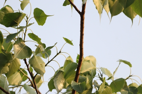
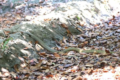
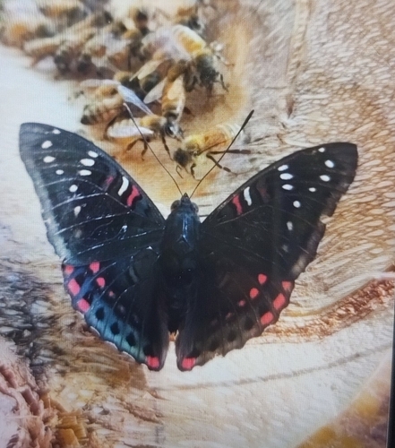
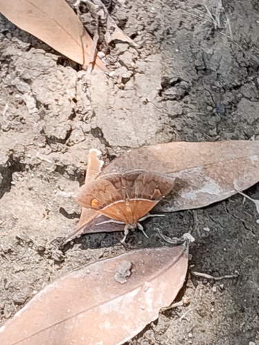
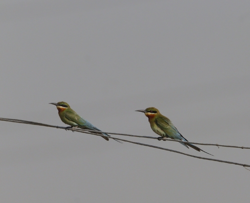
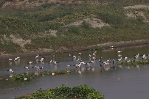
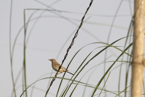
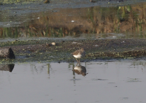
Research-grade observations from iNaturalist (within ~15 mi).
Events
Gallery
Official Identifiers
Local Government Directory (India)
- LGD code
- 312805
- Population (Wikidata)
- 332
- Wikidata
- Q60443746
LGD code via Wikidata P5578
Sources
- • Wikipedia
- • Wikidata
- • iNaturalist
- • Open-Meteo / sunrise-sunset.org
- • Wikipedia Pageviews API
- • Open Library
- • Local Government Directory (India) — LGD code via Wikidata P5578