Browse / India / Delhi / Delhi
Delhi
Delhicity

Delhi
Total population
16,787,941
Air quality index
Demographic figures from Ministry of Statistics (India). Overview below cites Wikipedia and may reference a different year.
City facts
Sister cities
Facts from Wikidata (CC0).
Overview
Delhi, officially the National Capital Territory (NCT) of Delhi, is a megacity and a union territory of India containing New Delhi, the capital of India. Straddling the Yamuna river, but spread chiefly to the west, or beyond its right bank, Delhi shares borders with the state of Uttar Pradesh in the east and with the state of Haryana in the remaining directions. Delhi became a union territory on 1 November 1956 and the NCT in 1995. The NCT covers an area of 1,484 square kilometres (573 sq mi). According to the 2011 census, Delhi's city proper population was over 11 million, while the NCT's population was about 16.8 million.
Read more on WikipediaHistory & geography
History
The earliest architectural relics date back to the Maurya period (c. 300 BCE); in 1966, an inscription of the Mauryan Emperor Ashoka (273–235 BCE) was discovered near Srinivaspuri. Remains of several major cities can be found in Delhi. The first of these was in the southern part of present-day Delhi. Tomara Rajput King Anang Pal built the Lal Kot and several temples in 1052 CE. The Chauhan Rajputs under Vigraharaja IV conquered Lal Kot in the mid-12th century and renamed it Qila Rai Pithora. Prithviraj Chauhan was defeated in 1192 by Muhammad Ghori in the second battle of Tarain. Qutb-ud-din Aibak, was given the responsibility of governing the conquered territories of India after Ghori returned to his capital, Ghor. When Ghori died without an heir in 1206 CE, Qutb-ud-din assumed control of Ghori's Indian possessions and laid the foundation of the Delhi Sultanate and the Mamluk dynasty. He began construction of the Qutb Minar and Quwwat-al-Islam (Might of Islam) mosque, the earliest extant mosque in India. It was his successor, Iltutmish (1211–1236), who consolidated the conquest of northern India. At , the Qutb Minar, a UNESCO World Heritage Site in Delhi, was completed during the reign of Sultan Illtutmish in the 13th century. Although its style has some similarities with the Jarkurgan minaret, it is more closely related to the Ghaznavid and Ghurid minarets of Central Asia Razia, daughter of Iltutmish, became the Sultana of Delhi upon the former's death. For the next three hundred years, Delhi was ruled by a succession of Turkic, Indian and an Afghan, Lodi dynasty. They built several forts and townships that are part of the seven cities of Delhi. Delhi was a major centre of Sufism during this period. The Mamluk Sultanate (Delhi) was overthrown in…
Geography
Delhi is located in North India at . The city is bordered on its northern, western, and southern sides by the state of Haryana and to the east by that of Uttar Pradesh (UP). Two prominent features of the geography of Delhi are the Yamuna flood plains and the Delhi Ridge. The Yamuna River was the historical boundary between Haryana and UP, and its floodplains provide fertile alluvial soil suitable for agriculture but are prone to recurrent flooding. The Yamuna, a sacred river in Hinduism, is the only major river flowing through Delhi. The Hindon River separates Ghaziabad from the eastern part of Delhi. The Delhi Ridge originates in the Aravalli Range to the south and encircles the west, northeast, and northwest parts of the city. It reaches a height of and is a dominant feature of the region. In addition to the wetlands formed by the Yamuna River, Delhi continues to retain over 500 ponds (wetlands According to the World Health Organization (WHO), Delhi was the most polluted city in the world in 2014. In 2016, the WHO downgraded Delhi to the eleventh-worst in the urban air quality database. However, as recently as 2022, data from the WHO and IQAir, among other groups, ranked Delhi as the fourth most-polluted city globally. According to one estimate, air pollution causes the death of about 10,500 people every year. The air quality index is generally moderate (101–200) between January and September, and then it drastically deteriorates to Very Poor (301–400), Severe (401–500) or Hazardous (500+) levels between October and December, due to various factors, including stubble burning (a type of biomass burning), firecracker-burning during Diwali, and cold weather. During 2013–14, peak levels of fine particulate matter (PM) increased by about 44%, primarily due to high…
Excerpted from the corresponding Wikipedia article (CC BY-SA).
Geography
Coordinates & boundaries from the US Census TIGER/Line shapefiles.
Climate
10-year averages from ERA5 reanalysis (Open-Meteo).
Air quality
Current readings from Open-Meteo Air Quality API (Copernicus CAMS European reanalysis).
Walkability
Amenities nearby
Wildlife & biodiversity
Most-observed species
- Common MynaAcridotheres tristis (Linnaeus, 1766) · Aves16,480
- House CrowCorvus splendens Vieillot, 1817 · Aves16,295
- Rock PigeonColumba livia J.F.Gmelin, 1789 · Aves16,105
- Black KiteMilvus migrans (Boddaert, 1783) · Aves14,760
- Rose-ringed ParakeetPsittacula krameri (Scopoli, 1769) · Aves13,103
- Red-vented BulbulPycnonotus cafer (Linnaeus, 1766) · Aves10,792
- Jungle BabblerTurdoides striata (Dumont, 1823) · Aves10,663
- Brown-headed BarbetPsilopogon zeylanicus (J.F.Gmelin, 1788) · Aves9,740
Citizen-science & research observations from the Global Biodiversity Information Facility (GBIF).
Earthquake history
Most recent
- M 4.1 — 2025-07-1110 km NW of Kharkhauda, India
- M 4.5 — 2025-07-108 km NNE of Jhajjar, India
- M 4.2 — 2025-02-1710 km SSE of Nāngloi Jāt, India
- M 4.1 — 2022-12-31Haryana, India
- M 3.7 — 2022-06-2711 km SE of Rohtak, India
- M 3.9 — 2021-07-057 km WNW of Kharkhauda, India
Events from the USGS Earthquake Catalog (global) (FDSN Event Web Service).
Photos
Sights & places nearby
Notable people from here


People born within ~10 km, from Wikidata (CC0). Click any name for their Wikipedia article.
Nearby places in Delhi
Geography & sun
Elevation, sunrise/sunset and daylight from Open-Meteo. Solar climatology from NASA POWER.
Nearby airports
Public attention
Pageview totals from the Wikimedia Pageviews API.
Books about Delhi
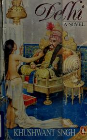

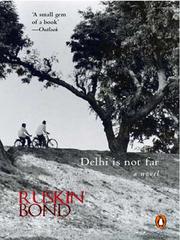

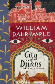
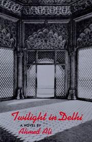
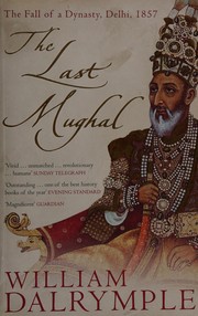
Search results from Open Library.
Recent natural events nearby
Ground air-quality sensors
Recently spotted species
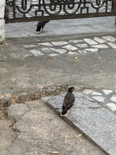
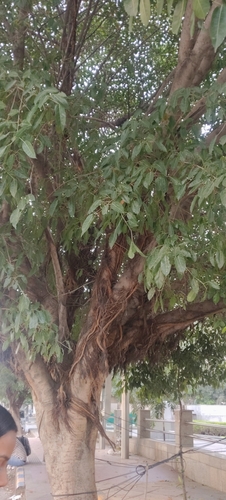
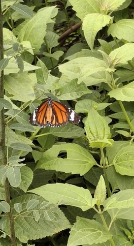
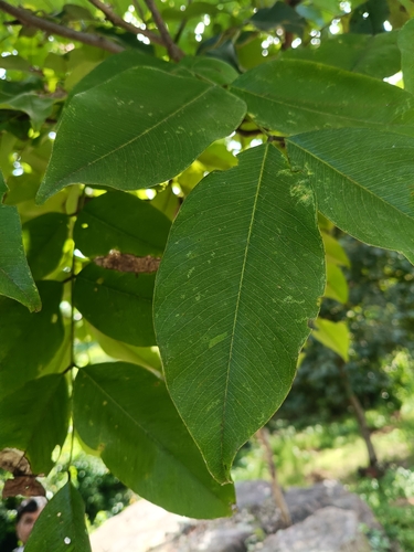
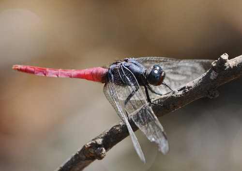
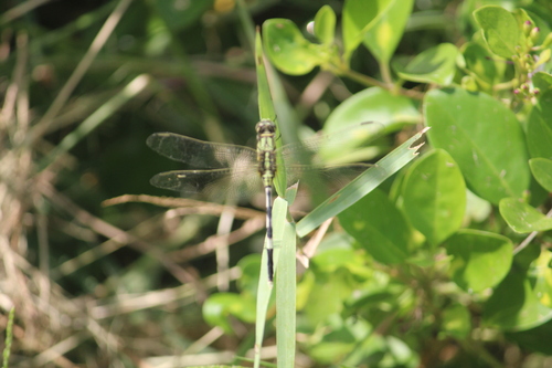
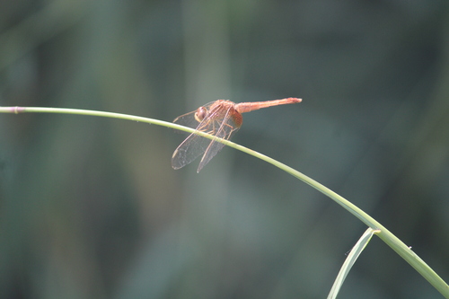
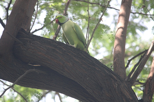
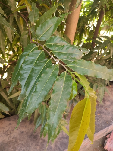
Research-grade observations from iNaturalist (within ~15 mi).
Events
Notable, recurring, and historical events associated with Delhi, sourced from Wikidata.
- Jan 1, 2020
- Jan 1, 2020
- Combined Commanders’ Conference 2014Jan 1, 2014recurring event edition
- Oct 1, 2007
- 19th International Conference of the Red CrossJan 1, 1957recurring event edition
1957 international conference in Delhi
Source: Wikidata (CC0).
Gallery
Geotagged photos within ~6 miles of Delhi, from Wikimedia Commons contributors.


.jpg)
.jpg)


.jpg)

.jpeg)


.jpg)
Photos via Wikimedia Commons — see each image page for license & attribution.
Sources
- • Wikipedia
- • Open-Meteo (ERA5 reanalysis)
- • Wikimedia Commons
- • Wikidata
- • Open-Meteo Air Quality (CAMS)
- • USGS Earthquake Catalog (global feed)
- • GBIF (Global Biodiversity Information Facility)
- • iNaturalist
- • Open-Elevation
- • Open-Meteo / sunrise-sunset.org
- • Wikipedia Pageviews API
- • Open Library