Browse / India / Jharkhand / Dhanbad
Dhanbad
Jharkhandcity

Dhanbad
Total population
1,162,472
Demographic figures from Ministry of Statistics (India). Overview below cites Wikipedia and may reference a different year.
City facts
Facts from Wikidata (CC0).
Overview
Dhanbad is the second-most populated city in the Indian state of Jharkhand after Jamshedpur and a major financial hub of Jharkhand. In terms of economy, Dhanbad has the largest economy in the state of and is often referred to as the 'economic capital of Jharkhand'. Dhanbad is also an emerging center for manufacturing industries. The Dhanbad district is known for its cultural heritage and has few tourist attractions, making it a well-rounded destination. Dhanbad ranks as the 39th largest city in India and is the 33rd largest million-plus urban agglomeration in India. The Dhanbad railway division generates the highest revenue in India. Dhanbad shares its land borders with the Paschim Bardhaman district and the Purulia district of West Bengal and Bokaro, and the Giridih and Jamtara districts of Jharkhand. The city is called the 'Coal Capital of India' for housing one of the largest coal mines in the country. The prestigious institute Indian School of Mines is situated in Dhanbad. Apart from coal, it has also grown in information technology.
Read more on WikipediaHistory & geography
History
The present district used to be a part of Manbhum region and was occupied by Mundari tribals in the wilderness of South undivided Bihar. In the seventh century A.D. some information is available from the account of the travels of Hieun Tsang. These accounts narrate the existence of a powerful kingdom which comprised the district and adjoining areas, ruled by Sasanka. Manbhum was one of the districts of the East India during the British Raj. The region has thick forests, with rich mineral resources, and had a mixed demographic profile with people from different religious and social groups, including adivasis, particularly the Santals and the Mundas before the city was established. In the Settlement Report for Manbhum (1928) it was stated that no rock inscriptions, copper plates or old coins were discovered and not a single document of copper plate or palm leaf was found, during the Survey and Settlement operations. The oldest authentic documents produced were all on paper and barely even a hundred years old. Dhanbad city was in Manbhum district from 1928 up to 1956. on the recommendation of the States Reorganization Commission vide notification 1911. This was done under the commitment and leadership of journalist, Satish Chandra. In the year 2006, Dhanbad celebrated 50 years of being an independent district and city. From 1956 to 14 November 2000, it was under Bihar. At present, it is in Jharkhand, after the creation of the state on 15 November 2000. The discovery of rich deposits of coal in the region caused the city to flourish financially, but also bought notorious coal-mafia and gang wars
Geography
Dhanbad has an average elevation of . Its geographical length (extending from north to south) is and the breadth (stretching across east to West) is . It shares its boundaries with West Bengal in the eastern and southern part, Giridih and Dumka in the North and Bokaro District in the west. Dhanbad comes under the Chota Nagpur Plateau. The Damodar is a major river of the Chota Nagpur Plateau. It rises in Palamu and flows eastward between the plateaus of Ranchi and Hazaribag. It is joined by the Bokaro, the Konar and the Barakar rivers. The Damodar enters Dhanbad district at its confluence with the Jamuria, a stream which marks the western boundary of Dhanbad with Hazaribagh District. Further east, the Damodar is joined by the Katri River which rises in the foothills below Parasnath and traverses through the coal-field area. The Barakar, which forms the northern boundary of the district, traverses about 77 km. It flows in south westerly direction up to Durgapur and then south till it joins the Damodar near Chirkunda. Dhanbad features a climate that is transitional between a humid subtropical climate (Köppen: Cwa) and a tropical wet and dry climate (Aw). Summer starts from the first week of March and ends in mid-July. The peak temperature in summer can reach 48 °C. Dhanbad also receives heavy rainfall. In winter, the minimum temperature remains around 8 °C with a maximum of 25 °C. Dhanbad has been ranked 34th best "National Clean Air City" (under Category 1 >10L Population cities) in India.
Excerpted from the corresponding Wikipedia article (CC BY-SA).
Geography
Coordinates & boundaries from the US Census TIGER/Line shapefiles.
Climate
Air quality
Walkability
Amenities nearby
Wildlife & biodiversity
Most-observed species
- Black DrongoDicrurus macrocercus Vieillot, 1817 · Aves146
- Spotted DoveSpilopelia chinensis (Scopoli, 1786) · Aves133
- Common MynaAcridotheres tristis (Linnaeus, 1766) · Aves130
- Rock PigeonColumba livia J.F.Gmelin, 1789 · Aves129
- Asian Pied StarlingGracupica contra (Linnaeus, 1758) · Aves116
- Jungle BabblerTurdoides striata (Dumont, 1823) · Aves111
- Black KiteMilvus migrans (Boddaert, 1783) · Aves108
- House CrowCorvus splendens Vieillot, 1817 · Aves104
Citizen-science & research observations from the Global Biodiversity Information Facility (GBIF).
Earthquake history
Most recent
- M 4 — 2020-04-0822 km NNW of B?nkura, India
- M 4.7 — 2019-05-2618 km W of B?nkura, India
- M 4.5 — 2015-12-156 km E of Gobindpur, India
- M 4.2 — 2008-11-0814 km NNE of Durgapur, India
- M 4.3 — 2008-02-0616 km NW of Beli?tor, India
- M 4.3 — 2003-10-208 km E of Puruliya, India
Events from the USGS Earthquake Catalog (global) (FDSN Event Web Service).
Photos
Sights & places nearby
Notable people from here


People born within ~10 km, from Wikidata (CC0). Click any name for their Wikipedia article.
Nearby places in Jharkhand
Geography & sun
Elevation, sunrise/sunset and daylight from Open-Meteo. Solar climatology from NASA POWER.
Nearby airports
Public attention
Pageview totals from the Wikimedia Pageviews API.
Books about Dhanbad

Search results from Open Library.
Recent natural events nearby
Ground air-quality sensors
Recently spotted species
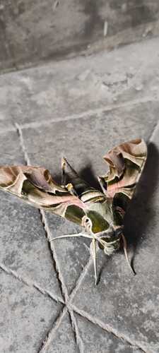
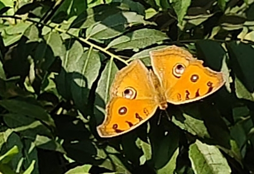
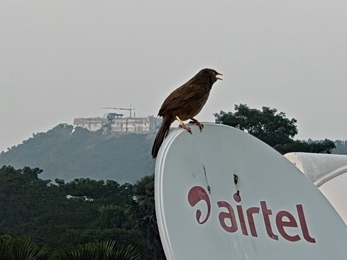
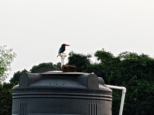
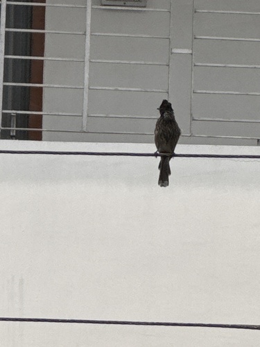
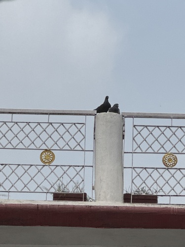
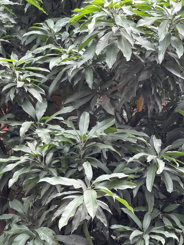
Research-grade observations from iNaturalist (within ~15 mi).
Events
Gallery
Sources
- • Wikipedia
- • Wikidata
- • USGS Earthquake Catalog (global feed)
- • GBIF (Global Biodiversity Information Facility)
- • iNaturalist
- • Open-Meteo / sunrise-sunset.org
- • Wikipedia Pageviews API
- • Open Library