Browse / India / West Bengal / Farakka
Farakka
West Bengaltown
Demographic figures from Ministry of Statistics (India). Overview below cites Wikipedia and may reference a different year.
City facts
Overview
Farakka is a town, with a police station and a post office, not identified in 2011 census as a separate place, in the Farakka community development block in the Jangipur subdivision of Murshidabad district in the state of West Bengal, India. It is also known as the northernmost point of Ganga Delta.
Read more on WikipediaHistory & geography
Geography
Farakka is located at . There are several places around Farakka, such as Farakka Barrage Township, Nabarun, Beniagram, Srimantapur, Puran Chandipur and Sahebnagar, which are in effect neighbourhoods of Farakka, but either identified as separate Census Towns/ villages or not identified separately in 2011 census. Jangipur subdivision is crowded with 52 census towns and as such it had to be presented in two location maps. One of the maps can be seen alongside. The subdivision is located in the Rarh region that is spread over from adjoining Santhal Pargana division of Jharkhand. The land is slightly higher in altitude than the surrounding plains and is gently undulating. The river Ganges, along with its distributaries, is prominent in both the maps. At the head of the subdivision is the 2,245 m long Farakka Barrage, one of the largest projects of its kind in the country. Murshidabad district shares with Bangladesh a porous international border which is notoriously crime prone (partly shown in this map). The subdivision has two large power plants - the 2,100 MW Farakka Super Thermal Power Station and the 1,600 MW Sagardighi Thermal Power Station. According to a 2016 report, there are around 1,000,000 (1 million/ ten lakh) workers engaged in the beedi industry in Jangipur subdivision. 90% are home-based and 70% of the home-based workers are women. As of 2013, an estimated 2.4 million people reside along the banks of the Ganges alone in Murshidabad district. Severe erosion occurs along the banks. Note: The two maps present some of the notable locations in the subdivision. All places marked in the maps are linked in the larger full screen maps.
Excerpted from the corresponding Wikipedia article (CC BY-SA).
Geography
Coordinates & boundaries from the US Census TIGER/Line shapefiles.
Climate
Air quality
Walkability
Amenities nearby
Wildlife & biodiversity
Earthquake history
Photos
Sights & places nearby
Notable people from here
Nearby places in West Bengal
Geography & sun
Nearby airports
Public attention
Books about this place
Recent natural events nearby
Ground air-quality sensors
Recently spotted species
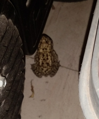
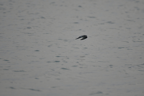
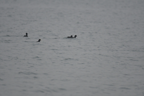
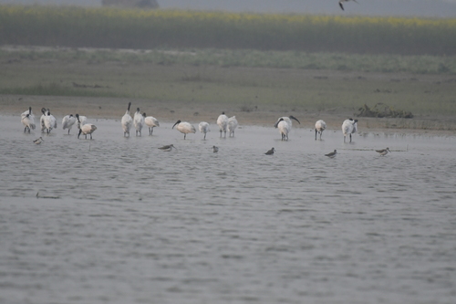
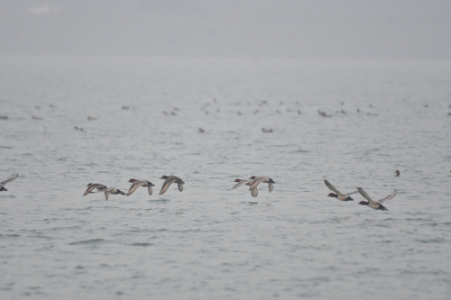
Research-grade observations from iNaturalist (within ~15 mi).
Events
Gallery
Sources
- • Wikipedia
- • iNaturalist