Browse / United States / Indiana / Fort Wayne
Fort Wayne
Indianacity

Fort Wayne
Total population
273,425
Median home value
$219,900
Bachelor's+
Median income
$61,436
Founded
1794
Air quality index
Demographic figures from US Census Bureau · ACS 5-year estimates. Overview below cites Wikipedia and may reference a different year.
- Freeze Watch · SevereFreeze Watch issued October 16 at 1:43PM EDT until October 18 at 9:00AM EDT by NWS Northern Indiana
Source: NOAA National Weather Service.
City facts
Sister cities
Facts from Wikidata (CC0).
Overview
Fort Wayne is a city in Allen County, Indiana, United States, and its county seat. Located in northeastern Indiana, the city is 18 miles (29 km) west of the Ohio border and 50 miles (80 km) south of the Michigan border. The city's population was 263,886 at the 2020 census, making it the 2nd-most populous city in Indiana after Indianapolis, and the 82nd-most populous city in the U.S. The Fort Wayne metropolitan area, consisting of Allen, Wells and Whitley counties, has an estimated population of 463,000. Fort Wayne is the cultural and economic center of northeastern Indiana.
Read more on WikipediaHistory & geography
History
This area here on the river confluence was occupied by successive cultures of indigenous peoples for as long as 10,000 years. The Miami tribe would eventually establish its settlement of Kekionga at this confluence of the Maumee, St. Joseph, and St. Marys rivers in the late stages of the Beaver Wars in the 1690s. It was the capital of the Miami nation and related Algonquian tribes. In 1696, Comte de Frontenac appointed Jean Baptiste Bissot, Sieur de Vincennes, who began visiting Kekionga in 1702, and would later build the original Fort Miami here in the wilderness and pays d'en Haut of New France around 1706; Initially, a small trading outpost. It was part of a group of forts and trading posts built between Quebec and St. Louis. The first census in 1744 recorded a population of approximately 40 Frenchmen and 1,000 Miamians. Increasing tension between France and Great Britain developed over control of the territory. In 1760, France ceded the area to Britain after its forces in North America surrendered during the Seven Years' War, known on the North American front as the French and Indian War. Managing to hold down the fort for only a mere couple of years, the British lost control of it in 1763 when various Native American nations rebelled against British rule and retook the fort as part of Pontiac's Rebellion. From this point forward in 1763, no active fort existed at Kekionga for the next three decades until American General Anthony Wayne established Fort Wayne in 1794, following the Battle of Fallen Timbers. The fort throughout this period was described as a, "Defiant mixture of Indian warriors and lawless renegades of the frontier, such as the Girties. It was also the home of a heterogeneous population of English and French traders and their families, French…
Geography
Fort Wayne is in the East North Central region of the Midwestern United States, in northeastern Indiana, west of Ohio and south of Michigan. According to the 2010 census, Fort Wayne has a total area of , of which (or 99.81%) is land and (or 0.19%) is water. For a regional summit, the city is situated on flat land characterized by little topographical relief, a result of the Wisconsin glaciation episode. Receding glaciers eroded the land, depositing an evenly distributed layer of sediment during the last glacial period. The most distinguishable topographical feature is Cedar Creek Canyon, just north of the city proper near Huntertown. and above the national average of 27.1 percent. The canopy is decreasing, notably from development and the emerald ash borer infestation. Historically, Fort Wayne has been divided into four unofficial quadrants: northeast, northwest, southeast, and southwest. Calhoun Street divides the southwest and southeast, while the St. Joseph River divides the northwest and northeast quadrants. The Maumee River separates the northeast and southeast, while portions of the St. Marys River and Chicago, Fort Wayne and Eastern Railroad separate the northwest and southwest quadrants. Fort Wayne's early 20th century development was influenced by the City Beautiful movement and centered on a park and boulevard plan conceived by urban planner Charles Mulford Robinson in 1909 and finalized by landscape architect George Kessler in 1912. The master plan proposed a network of parkways and boulevards connecting the city's three rivers and Spy Run Creek to dozens of neighborhoods and parks. Several parks were designed by noted landscape architect Arthur Asahel Shurcliff. Much of the original plan was implemented by 1955. In 2010, the Fort Wayne Park and…
Excerpted from the corresponding Wikipedia article (CC BY-SA).
Demographics & economy
Race & ethnicity
Source: US Census Bureau — American Community Survey, 5-year estimates.
Geography
Coordinates & boundaries from the US Census TIGER/Line shapefiles.
Climate
Current forecast
Forecast for Fort Wayne, IN from NOAA NWS API.
Air quality
Current readings from Open-Meteo Air Quality API (Copernicus CAMS European reanalysis).
Industrial & pollution facilities
Natural hazard risk
Health (adults)
Age-adjusted prevalence estimates from CDC PLACES (latest release).
Walkability
Amenities nearby
Wildlife & biodiversity
Most-observed species
- American RobinTurdus migratorius Linnaeus, 1766 · Aves7,298
- Northern CardinalCardinalis cardinalis (Linnaeus, 1758) · Aves7,182
- Blue JayCyanocitta cristata (Linnaeus, 1758) · Aves6,179
- Canada Goose (canadensis Group)Branta canadensis (Linnaeus, 1758) · Aves5,999
- House SparrowPasser domesticus (Linnaeus, 1758) · Aves5,877
- American GoldfinchSpinus tristis (Linnaeus, 1758) · Aves5,477
- MallardAnas platyrhynchos Linnaeus, 1758 · Aves5,386
- European StarlingSturnus vulgaris Linnaeus, 1758 · Aves4,968
Citizen-science & research observations from the Global Biodiversity Information Facility (GBIF).
Schools
Largest nearby schools
- Carroll High SchoolHigh · Fort Wayne · 2,554 students · 19.5:1 ratio
- Homestead High SchoolHigh · Fort Wayne · 2,470 students · 20.2:1 ratio
- Northrop High SchoolHigh · Fort Wayne · 2,136 students · 20.7:1 ratio
- R Nelson Snider High SchoolHigh · Fort Wayne · 1,899 students · 21.3:1 ratio
- New Haven Jr/Sr High SchoolHigh · New Haven · 1,494 students · 18:1 ratio
- North Side High SchoolHigh · Fort Wayne · 1,474 students · 17.1:1 ratio
- South Side High SchoolHigh · Fort Wayne · 1,423 students · 18.5:1 ratio
- Wayne High SchoolHigh · Fort Wayne · 1,419 students · 17.7:1 ratio
Public K–12 schools within ~10 mi from Urban Institute Education Data Portal (NCES Common Core of Data, 2022).
Earthquake history
Most recent
- M 2.9 — 2024-12-291 km SSE of Hicksville, Ohio
- M 2.6 — 2015-06-126 km NW of Convoy, Ohio
- M 3 — 2012-01-265 km NE of Topeka, Indiana
- M 3.8 — 2010-12-306 km SE of Greentown, Indiana
- M 2.5 — 2006-08-153 km NE of Fort Shawnee, Ohio
- M 2.8 — 2006-05-122 km E of Lima, Ohio
Events from the USGS Earthquake Catalog (global) (FDSN Event Web Service).
Photos
Sights & places nearby
Notable people from here


People born within ~10 km, from Wikidata (CC0). Click any name for their Wikipedia article.
Nearby places in Indiana
- Grabill12.4 mi away · pop. 1,108
- Churubusco13.4 mi away · pop. 1,757
- Harlan13.7 mi away · pop. 1,254
- Zanesville13.9 mi away
- Ossian14.7 mi away · pop. 3,384
- Roanoke15.1 mi away · pop. 1,940
- Tocsin17.9 mi away · pop. 266
- Altona18.2 mi away · pop. 415
- Preble19.1 mi away · pop. 88
- Avilla19.5 mi away · pop. 2,878
- Auburn19.8 mi away · pop. 13,565
- Decatur21.2 mi away · pop. 9,811
Geography & sun
Elevation, sunrise/sunset and daylight from Open-Meteo. Solar climatology from NASA POWER.
Nearby airports
Public attention
Pageview totals from the Wikimedia Pageviews API.
Books about Fort Wayne
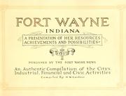
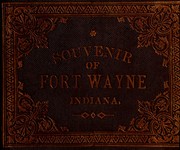



Search results from Open Library.
Recent natural events nearby
- Barren Plains Units 1 & 3 RX Prescribed Fire, Lake, MichiganWildfires · 2026-04-19 · 194 mi
- Baldwin Fuels 6 RX Prescribed Fire, Lake, MichiganWildfires · 2026-04-23 · 197 mi
- Tyndall 469 & 143 RX Prescribed Fire, Mason, MichiganWildfires · 2026-04-26 · 214 mi
- Peacock 545 and 159 RX Prescribed Fire, Lake, MichiganWildfires · 2026-04-20 · 214 mi
- rx-Lapham Good Oak 2026 Prescribed Fire, Waukesha, WisconsinWildfires · 2026-05-06 · 215 mi
- rx-Young 1 Prescribed Fire, Jefferson, WisconsinWildfires · 2026-05-11 · 216 mi
- KALKASKA-RX 61150021 Fletcher Unit 2 Prescribed Fire, Kalkaska, MichiganWildfires · 2026-05-28 · 237 mi
- River Road 16 RX Prescribed Fire, Iosco, MichiganWildfires · 2026-04-19 · 243 mi
Wildfires, storms and other events from NASA EONET (last 12 months, within 250 mi).
Ground air-quality sensors
Recently spotted species
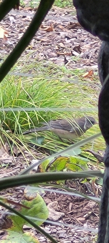
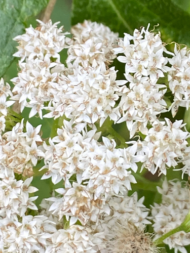
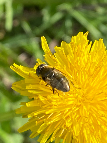
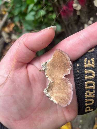
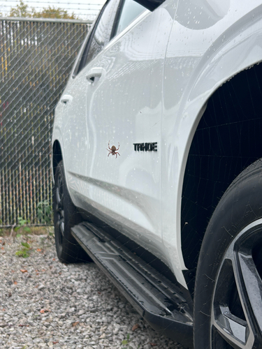
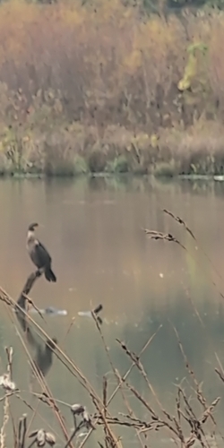
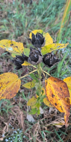
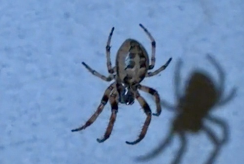
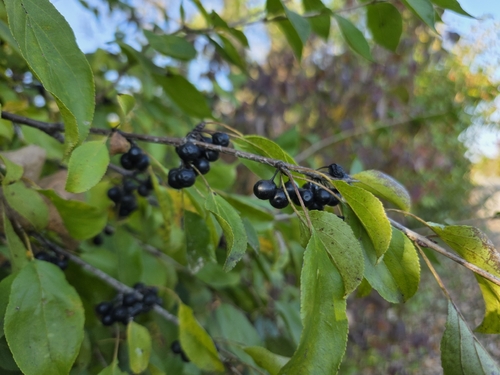
Research-grade observations from iNaturalist (within ~15 mi).
Nearest stream gauge
Live readings from USGS NWIS · measured 2026-10-16 15:00 UTC.
Events
Notable, recurring, and historical events associated with Fort Wayne, sourced from Wikidata.
- Apr 10, 2023
Source: Wikidata (CC0).
Gallery
Geotagged photos within ~6 miles of Fort Wayne, from Wikimedia Commons contributors.
 0.1 mi
 0.2 mi
 0.2 mi
 0.3 mi
.jpg) 0.3 mi
0.3 mi 0.4 mi
 0.4 mi
 0.4 mi
 0.4 mi
 0.5 mi
 0.5 mi
 0.5 mi
 0.5 mi
 0.5 mi
 0.6 mi
 0.6 mi
 0.6 mi
 0.6 mi
 0.6 mi
 0.6 mi
 0.6 mi
 0.6 mi
 0.6 mi
 0.6 mi
Photos via Wikimedia Commons — see each image page for license & attribution.
Sources
- • Wikipedia
- • US Census Bureau (ACS 5-year estimates)
- • NOAA National Weather Service
- • Wikimedia Commons
- • Wikidata
- • Open-Meteo Air Quality (CAMS)
- • USGS Earthquake Catalog (global feed)
- • USGS NWIS (water data)
- • NCES via Urban Institute Education Data Portal
- • GBIF (Global Biodiversity Information Facility)
- • iNaturalist
- • CDC PLACES
- • Open-Meteo / sunrise-sunset.org
- • Wikipedia Pageviews API
- • Open Library
- • NASA EONET