Gaya
Biharcity

Gaya
Total population
463,500
Demographic figures from Ministry of Statistics (India). Overview below cites Wikipedia and may reference a different year.
City facts
Facts from Wikidata (CC0).
Overview
Gaya is a city, municipal corporation and the administrative headquarters of Gaya district and Magadh division of the Indian state of Bihar. Gaya is 116 kilometres (72 mi) south of Patna and is the state's second-largest city, with a population of 470,839. The city is surrounded on three sides by small, rocky hills, with the Phalgu River on its eastern side.
Read more on WikipediaHistory & geography
History
Gaya is an ancient city, with a Buddhist documented history dating back to the 6th century BCE when the sage Gautama Buddha attained enlightenment at Bodh Gaya, from the modern city. Even before this time, Gaya was a place of pilgrimage for people from around the world. The fame of ancient Gaya derived from the account in the Ramayana of the god Rama coming here to the banks of Phalgu River (called the Niranjana), accompanied by his wife and younger brother, to offer pind-daan for their father Dasharatha, for the moksha of his soul. The city's cultural significance began with the dynasty founded by Sisunaga, who exercised power over Patna and Gaya around 600 BCE. Bimbisara, fifth king of the dynasty, who lived and ruled around 519 BCE, had projected Gaya to the outer world. Having attained an important place in the history of civilisation, the area experienced the influence of Gautama Buddha and Bhagwan Mahavir during the reign of Bimbisara. After a brief period under the Nanda dynasty (345–321 BCE), Gaya and the entire Magadha region came under Mauryan rule. Mauryan Emperor Ashoka (272–232 BCE) embraced and promoted Buddhism. He visited Gaya, and built the first temple at Bodh Gaya to commemorate the Buddha's attainment of supreme enlightenment. As attested by Francis Buchanan-Hamilton in the early nineteenth century, the city was divided into two areas: a sacred area in the southern part of the city, called Gaya; and the larger secular area, which may have been known by the Muslim community as Allahabad. During the British rule, the commercial and administrative area of the secular zone was formally named Saheb Ganj by British policy reformer Thomas Law, who was a district officer in Gaya in the late nineteenth century. Now 2023 Upgrade Gaya Junction to…
Excerpted from the corresponding Wikipedia article (CC BY-SA).
Geography
Coordinates & boundaries from the US Census TIGER/Line shapefiles.
Climate
Air quality
Walkability
Amenities nearby
Wildlife & biodiversity
Earthquake history
Photos
Sights & places nearby
Notable people from here


People born within ~10 km, from Wikidata (CC0). Click any name for their Wikipedia article.
Nearby places in Bihar
- Manpur1.3 mi away · pop. 1,000
- Bodhgaya7 mi away · pop. 45,349
- Belaganj12.1 mi away · pop. 1,000
- Wazirganj14.4 mi away
- Sherghati20.4 mi away · pop. 5,000
- Kurtha25.5 mi away
- Islampur26.9 mi away
- Nardiganj28.2 mi away
- Jehanabad28.7 mi away · pop. 135,200
- Rajgir30.5 mi away · pop. 33,700
- Ekangar Sarai32.5 mi away
- Imamganj35.5 mi away
Geography & sun
Elevation, sunrise/sunset and daylight from Open-Meteo. Solar climatology from NASA POWER.
Nearby airports
Public attention
Pageview totals from the Wikimedia Pageviews API.
Books about Gaya
Search results from Open Library.
Recent natural events nearby
Ground air-quality sensors
Recently spotted species


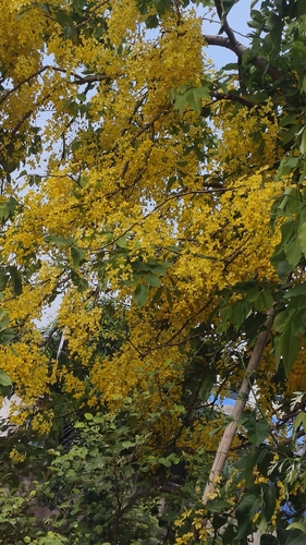

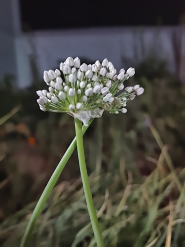
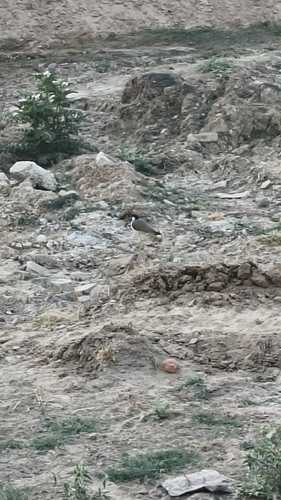

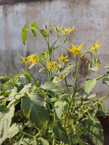
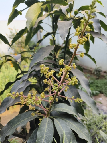
Research-grade observations from iNaturalist (within ~15 mi).
Events
Gallery
Sources
- • Wikipedia
- • Wikidata
- • iNaturalist
- • Open-Meteo / sunrise-sunset.org
- • Wikipedia Pageviews API
- • Open Library