Browse / United States / Indiana / Hammond
Hammond
Indianacity

Hammond
Total population
76,035
Median home value
$173,300
Bachelor's+
Median income
$58,647
Founded
1884
Demographic figures from US Census Bureau · ACS 5-year estimates. Overview below cites Wikipedia and may reference a different year.
City facts
Sister cities
Facts from Wikidata (CC0).
Overview
Hammond is a city in Lake County, Indiana, United States. Located along Lake Michigan, it is part of the Chicago metropolitan area and the only city in Indiana to border Chicago. As of the 2020 census, it is the eighth-most populous city in Indiana, with 77,879 residents. It was first settled in the mid-19th century and it is one of the oldest cities of northern Lake County.
Read more on WikipediaHistory & geography
History
The first European-descended residents arrived around 1847 to settle on land between the Grand and Little Calumet Rivers, on the south end of Lake Michigan. Those first residents were German immigrant farmers looking for land and opportunity. Before that time, the area was a crossroad for Indian tribes, explorers, stagecoach lines, and supply lines to the West. Convenient location and abundant fresh water from Lake Michigan led to the beginning of Hammond's industrialization in 1869 with the George H. Hammond Company meat-packing plant following merchants and farmers to the area. Hammond was incorporated on April 21, 1884, and was named after the Detroit butcher. Hammond is one of the oldest cities in Lake County, with Crown Point being the oldest (established in 1834). According to the Encyclopedia of Chicago, George Henry Hammond, a pioneer in the use of refrigerated railcars for the transport of fresh meat, first used this method with his small packing company in Detroit, Michigan. In 1868, Hammond received a patent for a refrigerator car design. In the early 1870s, he built a new plant in northern Indiana along the tracks of the Michigan Central Railroad. By 1873, the George H. Hammond Co. was selling $1 million worth of meat a year; by 1875, sales were nearly $2 million. The company's large packing house in Hammond rivaled those located at the Union Stock Yard in Chicago. By the middle of the 1880s, when it built a new plant in Omaha, Nebraska, Hammond was slaughtering over 100,000 cattle a year and owned a fleet of 800 refrigerator cars. After Hammond died in 1886, the company became less important and no longer challenged the giant Chicago packers, which acquired Hammond at the turn of the century and merged it into their National Packing Co. The Hammond…
Geography
The city sits within the boundaries of the former Lake Chicago, and much of its land area consists of former dune and swale terrain that was subsequently leveled. Most of the city is on sandy soil with a layer of black topsoil that varies from non-existent to several feet (a meter or more) thick. Much of the exposed sand was removed for purposes such as industrial use to make concrete and glass. According to the United States Census Bureau, the city has a total area of , of which is covered by water. * Robertsdale * North Hammond * Central Hammond * South Hammond * Woodmar * Schleicher * Hessville * Grand Calumet River (partial) * Lake George * Lake Michigan (partial) * Little Calumet River (partial) * Oxbow Lake * Wolf Lake (partial) * Chicago * Burnham * Calumet City * Lansing * Gary * East Chicago * Highland * Munster * Whiting
Excerpted from the corresponding Wikipedia article (CC BY-SA).
Demographics & economy
Race & ethnicity
Source: US Census Bureau — American Community Survey, 5-year estimates.
Geography
Coordinates & boundaries from the US Census TIGER/Line shapefiles.
Climate
Current forecast
Forecast for Hammond, IN from NOAA NWS API.
Air quality
Industrial & pollution facilities
Natural hazard risk
Health (adults)
Age-adjusted prevalence estimates from CDC PLACES (latest release).
Walkability
Amenities nearby
Wildlife & biodiversity
Most-observed species
- Ring-billed GullLarus delawarensis Ord, 1815 · Aves21,245
- Canada Goose (canadensis Group)Branta canadensis (Linnaeus, 1758) · Aves20,797
- American RobinTurdus migratorius Linnaeus, 1766 · Aves19,302
- Red-winged BlackbirdAgelaius phoeniceus (Linnaeus, 1766) · Aves17,337
- European StarlingSturnus vulgaris Linnaeus, 1758 · Aves16,275
- MallardAnas platyrhynchos Linnaeus, 1758 · Aves16,036
- American GoldfinchSpinus tristis (Linnaeus, 1758) · Aves15,187
- Northern CardinalCardinalis cardinalis (Linnaeus, 1758) · Aves14,466
Citizen-science & research observations from the Global Biodiversity Information Facility (GBIF).
Schools
Largest nearby schools
- Hammond Central High SchoolHigh · Hammond · 1,863 students · 19.4:1 ratio
- Morton Senior High SchoolHigh · Hammond · 1,609 students · 18.5:1 ratio
- Munster High SchoolHigh · Munster · 1,564 students · 18.4:1 ratio
- 21st Century Charter Sch of GaryOther · Gary · 1,337 students · 11.6:1 ratio
- Gary Lighthouse Charter SchoolOther · Gary · 1,127 students · 14.8:1 ratio
- East Chicago Central High SchoolHigh · East Chicago · 1,079 students · 14:1 ratio
- Griffth Jr/Sr High SchoolHigh · Griffith · 1,059 students · 16.5:1 ratio
- West Side Leadership AcademyHigh · Gary · 1,013 students · 20.7:1 ratio
Public K–12 schools within ~10 mi from Urban Institute Education Data Portal (NCES Common Core of Data, 2022).
Earthquake history
Most recent
- M 2.9 — 2026-07-0821 km ENE of Kenilworth, Illinois
- M 2.9 — 2015-03-253 km WNW of Lake in the Hills, Illinois
- M 3.2 — 2013-11-041 km SSW of Lyons, Illinois
- M 2.6 — 2013-06-104 km NNE of Virgil, Illinois
- M 3.8 — 2010-02-102 km NW of Lily Lake, Illinois
Events from the USGS Earthquake Catalog (global) (FDSN Event Web Service).
Photos
Sights & places nearby
Notable people from here


People born within ~10 km, from Wikidata (CC0). Click any name for their Wikipedia article.
Nearby places in Indiana
- Highland5.3 mi away · pop. 23,680
- Gary7.9 mi away · pop. 64,975
- St. John12.3 mi away · pop. 22,567
- Ogden Dunes15.6 mi away · pop. 1,140
- Cedar Lake17.2 mi away · pop. 15,295
- Winfield18.7 mi away · pop. 7,816
- Burns Harbor19.1 mi away · pop. 2,155
- Lake Dalecarlia20 mi away · pop. 1,169
- Lake Eliza20.8 mi away · pop. 545
- Shorewood Forest21 mi away
- Lowell23 mi away · pop. 11,073
- Hebron25.3 mi away · pop. 3,976
Geography & sun
Elevation, sunrise/sunset and daylight from Open-Meteo. Solar climatology from NASA POWER.
Nearby airports
Public attention
Pageview totals from the Wikimedia Pageviews API.
Books about Hammond


Search results from Open Library.
Recent natural events nearby
Ground air-quality sensors
Recently spotted species
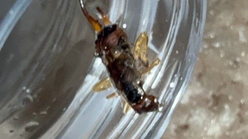
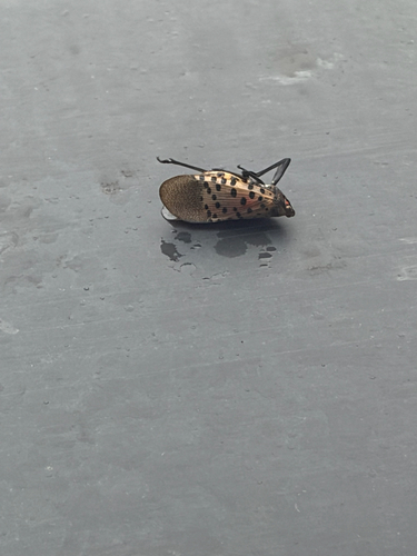
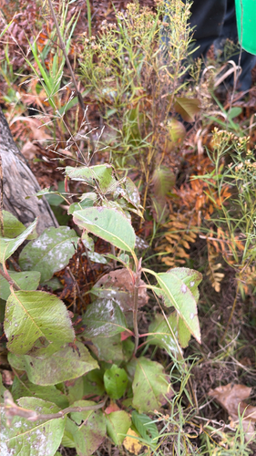
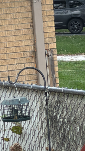
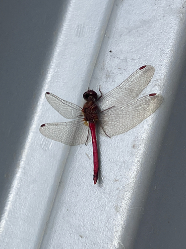
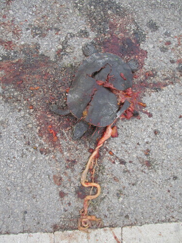
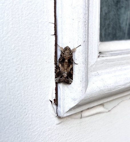
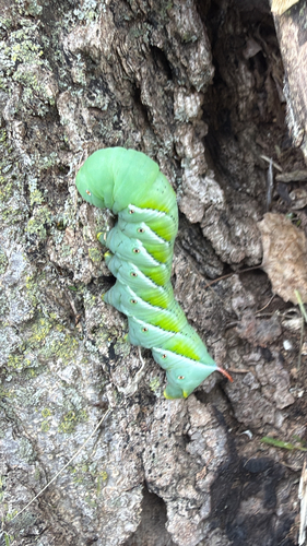
Research-grade observations from iNaturalist (within ~15 mi).
Nearest stream gauge
Live readings from USGS NWIS · measured 2026-10-16 17:00 UTC.
Events
Gallery
Sources
- • Wikipedia
- • US Census Bureau (ACS 5-year estimates)
- • NOAA National Weather Service
- • Wikidata
- • USGS Earthquake Catalog (global feed)
- • USGS NWIS (water data)
- • NCES via Urban Institute Education Data Portal
- • GBIF (Global Biodiversity Information Facility)
- • iNaturalist
- • CDC PLACES
- • Open-Meteo / sunrise-sunset.org
- • Wikipedia Pageviews API
- • Open Library