Browse / India / Uttar Pradesh / Hapur
Hapur
Uttar Pradeshtown
Total population
50,000
Air quality index
Demographic figures from Ministry of Statistics (India). Overview below cites Wikipedia and may reference a different year.
City facts
Facts from Wikidata (CC0).
Overview
Hapur is a city and the administrative headquarters of Hapur district, in Uttar Pradesh, India. Located about 60 kilometres (37 mi) east of New Delhi, the city is part of the Delhi National Capital Region (NCR). National Highway 9 passes through the city, connecting it to Delhi.
Read more on WikipediaHistory & geography
History
Hapur is said to have been founded in the tenth century. Hapur is listed in the Ain-i-Akbari as a pargana under Delhi sarkar, producing a revenue of 2,103,589 dams for the imperial treasury and supplying a force of 300 infantry and 4 cavalry. It was granted by Daulat Scindia to his French general Pierre Cuillier-Perron at the end of the 18th century. Under the British Raj, Hapur was within Meerut District, was surrounded by several fine groves, and carried on considerable trade in sugar, jaggery (gur), grain, cotton, timber, bamboo, and brass and steel utensils. The important cavalry remount depot and farm of Babugarh adjoined the town. Earlier it was within Ghaziabad district but in 2012 it became a separate district. It comes within Meerut commissionaire.
Geography
Hapur is located at . It has an average elevation of 213 metres (699 feet) (higher than its neighbours).
Excerpted from the corresponding Wikipedia article (CC BY-SA).
Geography
Coordinates & boundaries from the US Census TIGER/Line shapefiles.
Climate
Air quality
Current readings from Open-Meteo Air Quality API (Copernicus CAMS European reanalysis).
Walkability
Amenities nearby
Wildlife & biodiversity
Most-observed species
- Rock PigeonColumba livia J.F.Gmelin, 1789 · Aves71
- Red-naped IbisPseudibis papillosa (Temminck, 1824) · Aves65
- House CrowCorvus splendens Vieillot, 1817 · Aves62
- Black KiteMilvus migrans (Boddaert, 1783) · Aves51
- White-throated KingfisherHalcyon smyrnensis (Linnaeus, 1758) · Aves49
- Red-wattled LapwingVanellus indicus (Boddaert, 1783) · Aves49
- Eurasian Collared-DoveStreptopelia decaocto (Frivaldszky, 1838) · Aves33
- Common MynaAcridotheres tristis (Linnaeus, 1766) · Aves32
Citizen-science & research observations from the Global Biodiversity Information Facility (GBIF).
Earthquake history
Most recent
- M 4.1 — 2025-07-1110 km NW of Kharkhauda, India
- M 4.2 — 2025-02-1710 km SSE of Nāngloi Jāt, India
- M 3.9 — 2021-07-057 km WNW of Kharkhauda, India
- M 3.8 — 2020-12-175 km ENE of Deoli, India
- M 4.2 — 2020-05-29Uttar Pradesh, India
- M 3.7 — 2020-05-106 km ESE of Loni, India
Events from the USGS Earthquake Catalog (global) (FDSN Event Web Service).
Photos
Sights & places nearby
Notable people from here

People born within ~10 km, from Wikidata (CC0). Click any name for their Wikipedia article.
Nearby places in Uttar Pradesh
- Babugarh4.4 mi away
- Pilkhuwa7.4 mi away
- Dhaulana10.1 mi away
- Modinagar13.9 mi away · pop. 130,325
- fafrana14.5 mi away
- Muradnagar16.8 mi away
- Dadri18.1 mi away
- Siyana18.6 mi away · pop. 5,000
- Meerut18.9 mi away · pop. 1,305,429
- Garhmuktesar19.5 mi away · pop. 1,000
- Sikandarabad19.8 mi away · pop. 50,000
- Ghaziabad22.4 mi away · pop. 1,729,000
Geography & sun
Elevation, sunrise/sunset and daylight from Open-Meteo. Solar climatology from NASA POWER.
Nearby airports
Public attention
Pageview totals from the Wikimedia Pageviews API.
Books about Hapur
Search results from Open Library.
Recent natural events nearby
Ground air-quality sensors
Recently spotted species
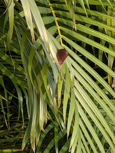
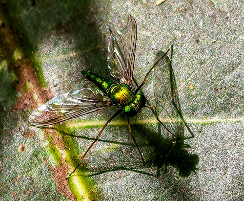
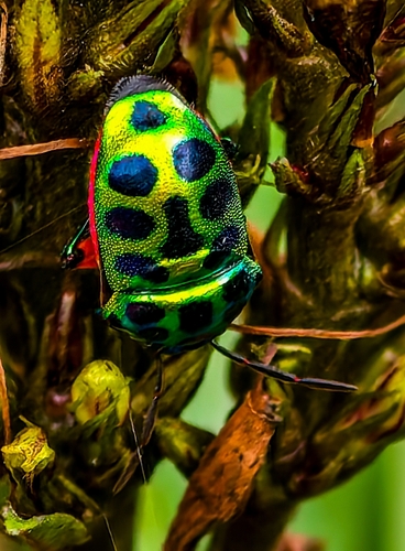
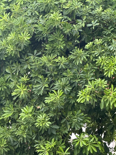
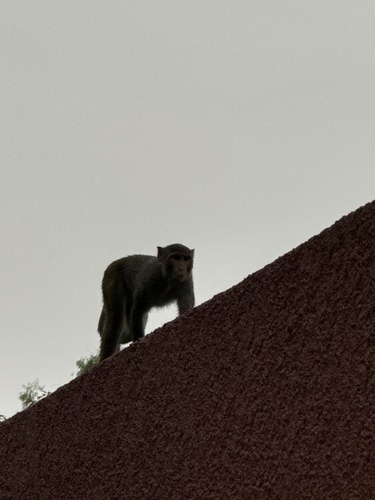
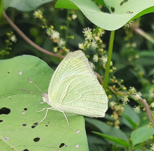
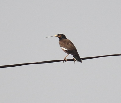
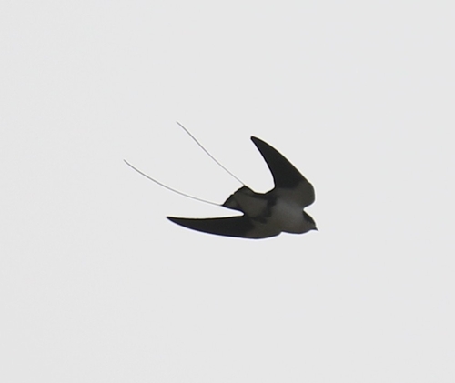
Research-grade observations from iNaturalist (within ~15 mi).
Events
Gallery
Sources
- • Wikipedia
- • Wikidata
- • Open-Meteo Air Quality (CAMS)
- • USGS Earthquake Catalog (global feed)
- • GBIF (Global Biodiversity Information Facility)
- • iNaturalist
- • Open-Meteo / sunrise-sunset.org
- • Wikipedia Pageviews API
- • Open Library