Browse / India / Uttar Pradesh / Meerut
Meerut
Uttar Pradeshcity

Meerut
Total population
1,305,429
Demographic figures from Ministry of Statistics (India). Overview below cites Wikipedia and may reference a different year.
City facts
Facts from Wikidata (CC0).
Overview
Meerut is a city that serves as the administrative headquarters of the Meerut district in the Indian state of Uttar Pradesh. The city lies in western Uttar Pradesh and is part of the Indian National Capital Region (NCR). Meerut is located 80 km (50 mi) northeast of the national capital, New Delhi, and 480 km (300 mi) northwest of the state capital, Lucknow. As of 2025, Meerut's urban (metro) population is estimated at ≈ 1.875 million. The population of Meerut Municipal Corporation is projected to be about 1.907 million, while the wider Meerut metropolitan region is estimated at approximately 2.077 million. Meerut is the second or third-most populous city in NCR, after Delhi and Ghaziabad.
Read more on WikipediaHistory & geography
History
Archaeological excavations conducted between 1950 and 1952 at Vidura-ka-Tila, a collection of several mounds named after Vidura northeast of Meerut, concluded that Meerut contains the remains of the ancient city of Hastinapur, the capital of the Kauravas and Pandavas of Mahabharata, which was washed away by floods from the Ganges. Meerut also contained a Harappan settlement known as Alamgirpur, the easternmost settlement of the Indus Valley civilisation. Meerut was a centre of Buddhism during the reign of Mauryan emperor Ashoka (r. 273 BC to 232 BC.), and remains of Buddhist structures were found near the congregational mosque in the present day city. The Ashoka Pillar, at Delhi Ridge, was carried to Delhi from Meerut by Firuz Shah Tughluq (r. 1351–1388). It was later damaged in a 1713 explosion and restored in 1867. In Hindu mythology, Meerut has a strong connection to the Mahabharata. One of the main characters in the epic, Draupadi, is believed by the locals to have been born here. In the eleventh century AD, the region to the south-west of the city was ruled by Har Dat, the Dor Raja of Bulandshahr. He built a fort, which was long known for its strength and was mentioned in the Ain-i-Akbari. He was later defeated by Mahmud of Ghazni in 1018 and surrendered along with his forces to Mahmud. The Jama Masjid (Congregational mosque), a prominent local landmark, was said to be built by Mahmud's vizier in this period. Shortly after its capture, the city was regained by the local Hindu raja and part of his fortifications, built for the city's defence, survived into modern times. Muhammad of Ghor's mamluk general Qutb-ud-din Aybak attacked and captured Meerut in 1193. Timur attacked and sacked Meerut in 1399. The city was held by Ilyas Afghan and his son Maula Muhammad…
Geography
description of the geography of the district|Meerut district#Geography}} Meerut lies between the plains of the Ganges and the Yamuna in the Doab region. By land area, Meerut district covers 2,522km2 (974 sq mi), which is larger than Delhi (Delhi covers an area of 1,484km2 [573 sq mi]). Meerut has a monsoon influenced humid subtropical climate characterised by hot summers and cooler winters. Summers last from early April to late June and are extremely hot, with temperatures reaching up to . The monsoon arrives in late June and continues till the middle of September. Temperatures drop slightly, with increased cloud cover and higher humidity. Temperatures rise again in October and the city then has a mild, dry winter season from November to the middle of March. The rainfall averages about per annum, which is suitable for crop cultivation. Most of the rainfall is received during the monsoon. The humidity varies from 30 to 100%.
Excerpted from the corresponding Wikipedia article (CC BY-SA).
Geography
Coordinates & boundaries from the US Census TIGER/Line shapefiles.
Climate
Air quality
Walkability
Amenities nearby
Wildlife & biodiversity
Most-observed species
- Rock PigeonColumba livia J.F.Gmelin, 1789 · Aves113
- Red-vented BulbulPycnonotus cafer (Linnaeus, 1766) · Aves99
- Red Silk CottontreeBombax ceiba L. · Magnoliopsida99
- Spanish CherryMimusops elengi L. · Magnoliopsida96
- Common MynaAcridotheres tristis (Linnaeus, 1766) · Aves95
- Rose-ringed ParakeetPsittacula krameri (Scopoli, 1769) · Aves92
- Jaggery PalmCaryota urens L. · Liliopsida90
- Purple SunbirdCinnyris asiaticus (Latham, 1790) · Aves80
Citizen-science & research observations from the Global Biodiversity Information Facility (GBIF).
Earthquake history
Most recent
- M 4.1 — 2025-07-1110 km NW of Kharkhauda, India
- M 4.2 — 2025-02-1710 km SSE of Nāngloi Jāt, India
- M 3.9 — 2021-07-057 km WNW of Kharkhauda, India
- M 3.8 — 2020-12-175 km ENE of Deoli, India
- M 4.2 — 2020-05-29Uttar Pradesh, India
- M 3.7 — 2020-05-106 km ESE of Loni, India
Events from the USGS Earthquake Catalog (global) (FDSN Event Web Service).
Photos
Sights & places nearby
Notable people from here
Nearby places in Uttar Pradesh
- Sardhana11.8 mi away · pop. 10,000
- Modinagar13.8 mi away · pop. 130,325
- fafrana14.2 mi away
- Mawana14.8 mi away · pop. 5,000
- Hapur18.9 mi away · pop. 50,000
- Khatauli19.5 mi away · pop. 72,949
- Muradnagar19.7 mi away
- Pilkhuwa19.7 mi away
- Hastinapur20.3 mi away · pop. 26,452
- Babugarh20.7 mi away
- Bahsuma21.3 mi away · pop. 11,753
- Miranpur25 mi away
Geography & sun
Elevation, sunrise/sunset and daylight from Open-Meteo. Solar climatology from NASA POWER.
Nearby airports
Public attention
Pageview totals from the Wikimedia Pageviews API.
Books about Meerut

Search results from Open Library.
Recent natural events nearby
Ground air-quality sensors
Recently spotted species
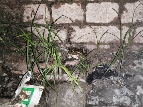
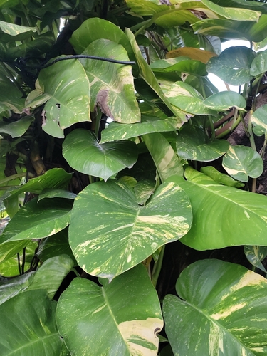
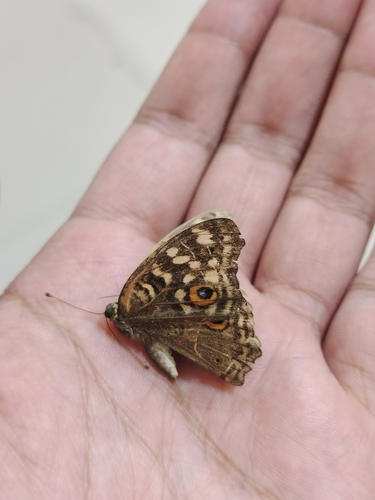
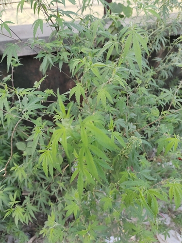
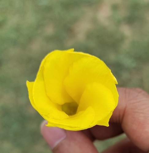
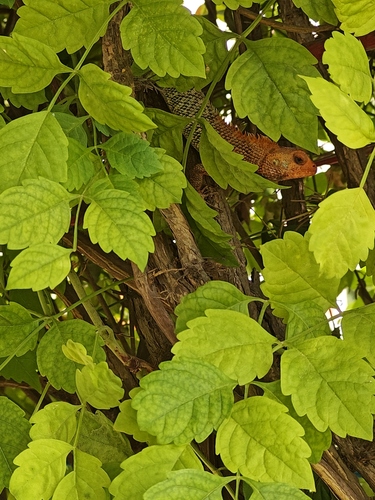
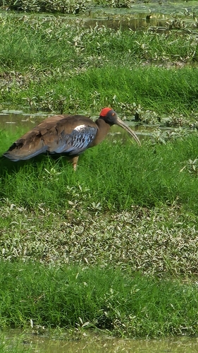
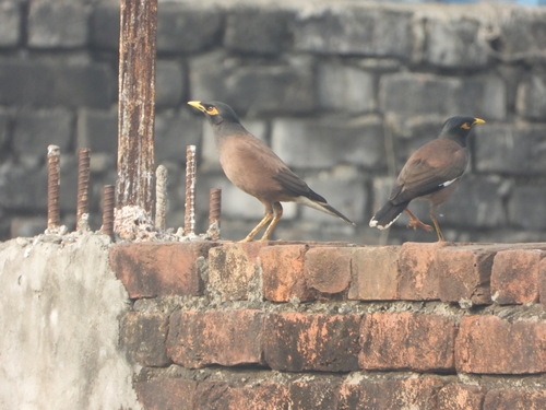
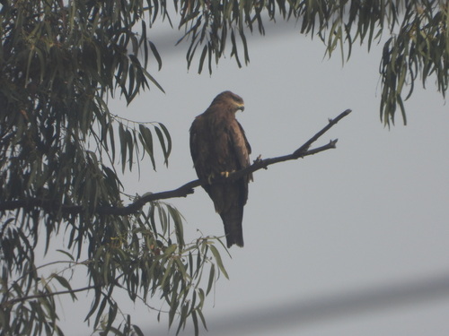
Research-grade observations from iNaturalist (within ~15 mi).
Events
Gallery
Sources
- • Wikipedia
- • Wikidata
- • USGS Earthquake Catalog (global feed)
- • GBIF (Global Biodiversity Information Facility)
- • iNaturalist
- • Open-Meteo / sunrise-sunset.org
- • Wikipedia Pageviews API
- • Open Library