Browse / United States / Indiana / Indianapolis city (balance)
Indianapolis city (balance)
Indianaplace
Total population
890,315
Median home value
$241,500
Bachelor's+
Median income
$66,900
Air quality index
Demographic figures from US Census Bureau · ACS 5-year estimates. Overview below cites Wikipedia and may reference a different year.
- Heat Advisory · ModerateHeat Advisory issued June 28 at 3:23PM EDT until July 2 at 8:00PM EDT by NWS Indianapolis IN
Source: NOAA National Weather Service.
City facts
Overview
Indianapolis city (balance) is a major city in Indiana, United States. Its coordinates of 39.777°, -86.146° place it in the warm-temperate zone of the northern hemisphere. Public datasets list a population of roughly 890,315. Local weather statistics describe average highs near 64°F and lows near 46.5°F, alongside about 46.4 in of annual precipitation (a wet total). At 952 people per km², the city shows a moderate population density. Total area is recorded as an expansive 935 km². Solar-resource estimates put the area at about 1,461 kWh/m² of solar irradiance per year with sunshine for roughly 57% of daylight hours. Climatically, locations at this latitude tend to experience warm summers and cool winters. Continue scrolling for population, climate, environmental and points-of-interest data drawn from public sources.
Summary composed automatically from structured open data on this page. See our Terms for details.
History & geography
Demographics & economy
Race & ethnicity
Source: US Census Bureau — American Community Survey, 5-year estimates.
Geography
Coordinates & boundaries from the US Census TIGER/Line shapefiles.
Climate
10-year averages from ERA5 reanalysis (Open-Meteo).
Current forecast
Forecast for Indianapolis city (balance), IN from NOAA NWS API.
Air quality
Current readings from Open-Meteo Air Quality API (Copernicus CAMS European reanalysis).
Industrial & pollution facilities
Natural hazard risk
Health (adults)
Age-adjusted prevalence estimates from CDC PLACES (latest release).
Walkability
Amenities nearby
Wildlife & biodiversity
Most-observed species
- Northern CardinalCardinalis cardinalis (Linnaeus, 1758) · Aves42,938
- American RobinTurdus migratorius Linnaeus, 1766 · Aves35,596
- Carolina ChickadeePoecile carolinensis (Audubon, 1834) · Aves33,445
- Blue JayCyanocitta cristata (Linnaeus, 1758) · Aves29,181
- Downy WoodpeckerDryobates pubescens (Linnaeus, 1766) · Aves28,415
- Tufted TitmouseBaeolophus bicolor (Linnaeus, 1766) · Aves27,920
- House SparrowPasser domesticus (Linnaeus, 1758) · Aves27,646
- Red-bellied WoodpeckerMelanerpes carolinus (Linnaeus, 1758) · Aves26,425
Citizen-science & research observations from the Global Biodiversity Information Facility (GBIF).
Schools
Largest nearby schools
- Indiana Connections AcademyOther · Indianapolis · 5,784 students · 39.3:1 ratio
- North Central High SchoolHigh · Indianapolis · 3,628 students · 16.1:1 ratio
- Warren Central High SchoolHigh · Indianapolis · 3,414 students · 18.5:1 ratio
- Ben Davis High SchoolHigh · Indianapolis · 3,392 students · 18.5:1 ratio
- Franklin Central High SchoolHigh · Indianapolis · 3,319 students · 21:1 ratio
- Pike High SchoolHigh · Indianapolis · 3,286 students · 16.5:1 ratio
- Arsenal Technical High SchoolHigh · Indianapolis · 2,366 students · 17.4:1 ratio
- Southport High SchoolHigh · Indianapolis · 2,355 students · 17.6:1 ratio
Public K–12 schools within ~10 mi from Urban Institute Education Data Portal (NCES Common Core of Data, 2022).
Earthquake history
Most recent
- M 2.5 — 2023-10-317 km ESE of Linden, Indiana
- M 3.82 — 2021-06-17Illinois-Indiana border region
- M 3.8 — 2010-12-306 km SE of Greentown, Indiana
- M 3.8 — 2004-09-124 km NW of Manilla, Indiana
Events from the USGS Earthquake Catalog (global) (FDSN Event Web Service).
Photos
Sights & places nearby
Notable people from here


People born within ~10 km, from Wikidata (CC0). Click any name for their Wikipedia article.
Nearby places in Indiana
- Rocky Ripple5.2 mi away · pop. 631
- Beech Grove5.2 mi away · pop. 14,913
- Crows Nest5.6 mi away
- North Crows Nest6.2 mi away
- Homecroft7.4 mi away · pop. 854
- Meridian Hills7.7 mi away · pop. 1,767
- Williams Creek8.5 mi away · pop. 417
- Clermont9.7 mi away · pop. 1,468
- Lawrence10.3 mi away · pop. 49,517
- Cumberland10.7 mi away · pop. 6,267
- Avon13.2 mi away · pop. 23,437
- Brownsburg13.3 mi away · pop. 31,215
Geography & sun
Elevation, sunrise/sunset and daylight from Open-Meteo. Solar climatology from NASA POWER.
Nearby airports
Public attention
Books about Indianapolis city (balance)

Search results from Open Library.
Recent natural events nearby
- rx-Young 1 Prescribed Fire, Jefferson, WisconsinWildfires · 2026-05-11 · 248 mi
Wildfires, storms and other events from NASA EONET (last 12 months, within 250 mi).
Ground air-quality sensors
Recently spotted species
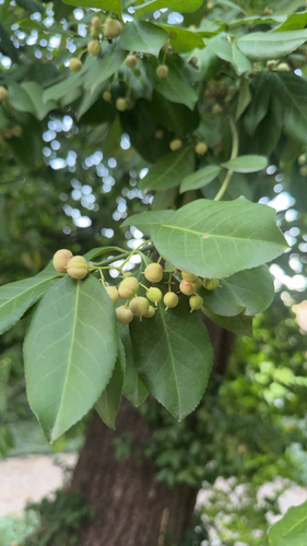
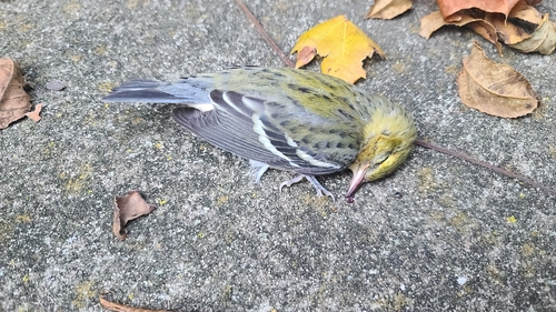
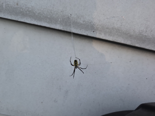


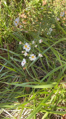
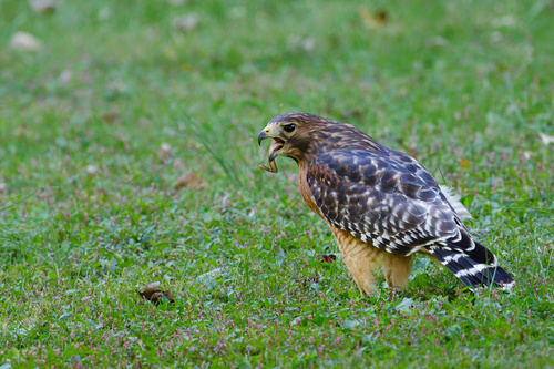
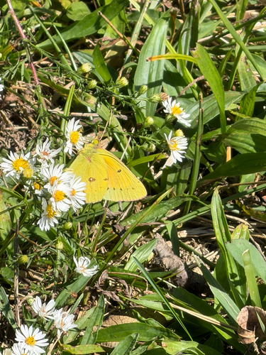
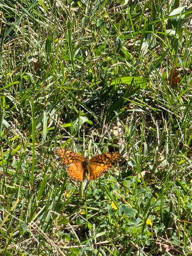
Research-grade observations from iNaturalist (within ~15 mi).
Nearest stream gauge
Live readings from USGS NWIS · measured 2026-06-28 07:45 UTC.
Events
Gallery
Geotagged photos within ~6 miles of Indianapolis city (balance), from Wikimedia Commons contributors.
 0 mi
0 mi 0 mi
0 mi 0 mi
0 mi 0 mi
0 mi 0 mi
0 mi 0 mi
0 mi 0 mi
0 mi 0 mi
0 mi 0 mi
0 mi 0 mi
0 mi 0 mi
0 mi 0 mi
0 mi 0 mi
0 mi 0 mi
0 mi 0 mi
0 mi 0.1 mi
 0.1 mi
 0.1 mi
 0.1 mi
 0.1 mi
 0.1 mi
 0.1 mi
 0.1 mi
 0.1 mi
Photos via Wikimedia Commons — see each image page for license & attribution.
Sources
- • US Census Bureau (ACS 5-year estimates)
- • Open-Meteo (ERA5 reanalysis)
- • NOAA National Weather Service
- • Wikimedia Commons
- • Wikidata
- • Open-Meteo Air Quality (CAMS)
- • USGS Earthquake Catalog (global feed)
- • USGS NWIS (water data)
- • NCES via Urban Institute Education Data Portal
- • GBIF (Global Biodiversity Information Facility)
- • iNaturalist
- • CDC PLACES
- • Open-Elevation
- • Open-Meteo / sunrise-sunset.org
- • Open Library
- • NASA EONET