Browse / India / Uttar Pradesh / Kanpur
Kanpur
Uttar Pradeshcity

Kanpur
Total population
2,767,031
Demographic figures from Ministry of Statistics (India). Overview below cites Wikipedia and may reference a different year.
City facts
Sister cities
Facts from Wikidata (CC0).
Overview
Kanpur, originally named Kanhapur and formerly anglicized as Cawnpore, is a large city in the Indian state of Uttar Pradesh. Founded by Rajput ruler Hindu Singh Chandel, Kanpur became one of the most important commercial and military stations of British Raj.
Read more on WikipediaHistory & geography
History
The city of Kanpur is widely believed to have been founded by Raja Hindu Singh Chandel of the Sachendi state. Its original name was Kanhpur, possibly derived from Kanhiyapur or established to commemorate the Kanhaiya Ashtam festival, a day the Raja considered auspicious. An alternative theory suggests the name is a variation of Karnapur, linking it to the Mahabharata character, Karna. In its early stages, Kanpur was a collection of smaller villages, including Patkapura, Kuraswam, Juhi, and Seesamau. The official transfer to British control occurred through the Treaty of 1801 with Nawab Saadat Ali Khan. This marked a turning point in Kanpur's history, as the British began to develop it into a major hub. Leveraging its strategic location on the banks of the Ganges, the East India Company initiated an indigo trade. The city's growth was further accelerated by major infrastructure projects, including the construction of the Grand Trunk Road in 1832 and the addition of roads connecting it to Lucknow and Kalpi in 1864. Though controversy surrounds what exactly happened at the Sati Chaura Ghat and who fired the first shot, it is known that soon afterwards the departing British were shot at by the sepoys and were either killed or captured. Some of the British officers later claimed that the sepoys had, on purpose, placed the boats as high in the mud as possible, to cause delay. They also claimed that Sahib's camp had previously arranged for the sepoys to fire upon and to kill all of the English. Although the East India Company later accused Sahib of betrayal and murder of innocent people, no evidence has ever been found to prove that he planned or ordered the massacre. Some historians believe that the Sati Chaura Ghat massacre was the result of confusion and not of any plan…
Geography
Kanpur is located at in the central-western part of the state of Uttar Pradesh. The city lies southeast of the national capital, New Delhi, and southwest of the state capital, Lucknow. It is a part of the historical region of Awadh. Situated in the flat Indo-Gangetic Plains, Kanpur has an average elevation of above sea level. The Ganga flows by the city and several ghats are located on its banks, notably the Sati Chaura Ghat and Sarsaiya Ghat. The Brahmavart Ghat located at Bithoor (25 km northwards) is another ghat of religious importance. Several parks and recreational areas are located in Kanpur. Nana Rao Park and Phool Bagh are among the prominent parks in city that have existed from the time of the British Raj. The Moti Jheel, a rectangular lake, was originally developed as a drinking water reservoir. The lake has now been developed as a recreational area with a landscaped garden and a children's park. Nawabganj Bird Sanctuary is also located near Kanpur. Like most of lowland northern India, Kanpur has a monsoon-influenced humid subtropical climate (Cwa) bordering on a hot semi-arid climate (BSh) under the Köppen climate classification. Kanpur sees an annual precipitation of . The southwest monsoon enters around 20–23 June, and total precipitation from the monsoon is . Southwest monsoon withdrawal takes place generally between the last week of September and the first week of October. The month of October saw heavy monsoon rains in the years 1971 (133 mm), 1985 (367 mm), 1999 (137 mm), 2013 (143 mm), and 2022 (225 mm), and 2024. Annual precipitation reached at least in 2008, 2010, 2013, 2018–2022 and 2024. Kanpur has been ranked the fifth best National Clean Air City in India under Category 1 (cities with populations…
Excerpted from the corresponding Wikipedia article (CC BY-SA).
Geography
Coordinates & boundaries from the US Census TIGER/Line shapefiles.
Climate
Air quality
Walkability
Amenities nearby
Wildlife & biodiversity
Most-observed species
- House CrowCorvus splendens Vieillot, 1817 · Aves714
- Rock PigeonColumba livia J.F.Gmelin, 1789 · Aves660
- Common MynaAcridotheres tristis (Linnaeus, 1766) · Aves645
- Purple SunbirdCinnyris asiaticus (Latham, 1790) · Aves610
- Laughing DoveSpilopelia senegalensis (Linnaeus, 1766) · Aves588
- Indian PeafowlPavo cristatus Linnaeus, 1758 · Aves555
- Oriental Magpie-RobinCopsychus saularis (Linnaeus, 1758) · Aves537
- Jungle BabblerTurdoides striata (Dumont, 1823) · Aves524
Citizen-science & research observations from the Global Biodiversity Information Facility (GBIF).
Earthquake history
Events from the USGS Earthquake Catalog (global) (FDSN Event Web Service).
Photos
Sights & places nearby
Notable people from here


People born within ~10 km, from Wikidata (CC0). Click any name for their Wikipedia article.
Nearby places in Uttar Pradesh
- Shuklaganj4.3 mi away
- Jajesmow6.4 mi away
- Bithoor10.1 mi away
- Unnao11.7 mi away · pop. 177,658
- Safipur19.2 mi away · pop. 5,000
- Lakhan Khera19.7 mi away
- Ghatampur23.2 mi away · pop. 5,000
- Akbarpur23.7 mi away
- Nawab Ganj24 mi away
- Bangarmau30.5 mi away · pop. 5,000
- Bilhaur30.8 mi away · pop. 5,000
- Mohan31 mi away
Geography & sun
Elevation, sunrise/sunset and daylight from Open-Meteo. Solar climatology from NASA POWER.
Nearby airports
Public attention
Pageview totals from the Wikimedia Pageviews API.
Books about Kanpur
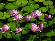
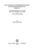
Search results from Open Library.
Recent natural events nearby
Ground air-quality sensors
Recently spotted species

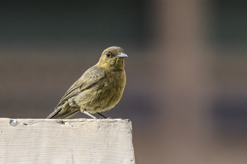
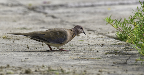
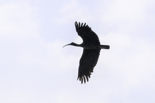
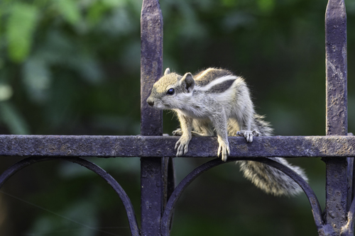
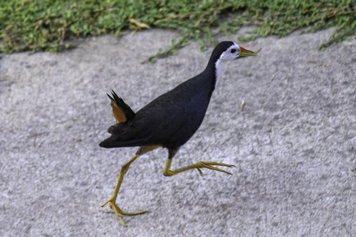
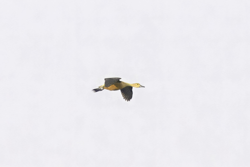
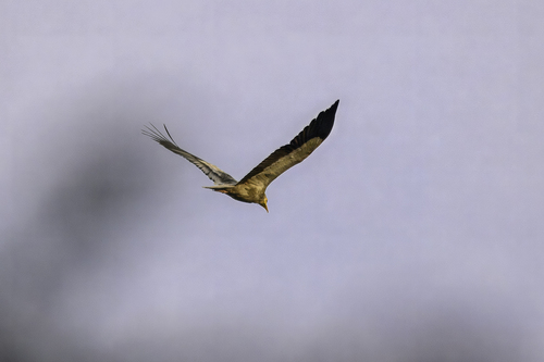
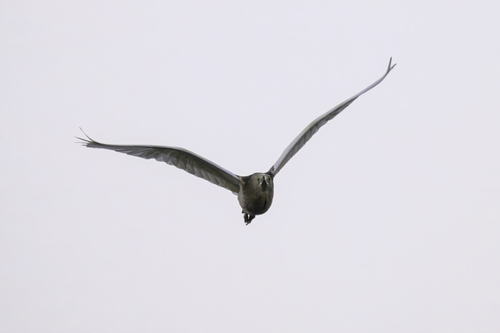
Research-grade observations from iNaturalist (within ~15 mi).
Events
Gallery
Geotagged photos within ~6 miles of Kanpur, from Wikimedia Commons contributors.
 0.5 mi
 0.5 mi
 0.5 mi
 0.5 mi
 0.6 mi
 0.6 mi
 0.7 mi
 0.7 mi
 0.7 mi
 0.7 mi
 0.7 mi
 0.7 mi
 0.7 mi
 0.7 mi
 0.7 mi
 0.7 mi
 0.7 mi
 0.7 mi
 0.7 mi
 0.7 mi
 0.7 mi
 1.1 mi
 1.1 mi
 1.2 mi
Photos via Wikimedia Commons — see each image page for license & attribution.
Sources
- • Wikipedia
- • Wikimedia Commons
- • Wikidata
- • USGS Earthquake Catalog (global feed)
- • GBIF (Global Biodiversity Information Facility)
- • iNaturalist
- • Open-Meteo / sunrise-sunset.org
- • Wikipedia Pageviews API
- • Open Library