Browse / India / Uttar Pradesh / Unnao
Unnao
Uttar Pradeshcity

Unnao
Total population
177,658
Demographic figures from Ministry of Statistics (India). Overview below cites Wikipedia and may reference a different year.
City facts
Facts from Wikidata (CC0).
Overview
Unnao is a city in the Indian state of Uttar Pradesh. Unnao is located on the eastern bank of the Ganges River, and it is a satellite city of Kanpur. Administratively, Unnao lies within the district of Unnao and is the headquarters of the Unnao Sadar subdivision. Unnao also falls the under Kanpur Metropolitan Development Authority.
Read more on WikipediaHistory & geography
History
The district is named after its capital, Unnao. About 900 years ago, the site of Unnao was covered with extensive forests. Godo Singh, a Chauhan Rajput, cleared the forests around the third quarter of the 12th century and founded a town called Sawai Godo. Shortly afterwards, it passed into the hands of the rulers of the Kannauj, who appointed Khande Singh as the Governor of the area. Unwant Rai Singh, a Bisen Rajput and a lieutenant of the Governor, killed him and built a fort here, renaming the place as Unnao after himself. Kavi Kalash, an advisor, commander and a close friend of Chhatrapati Sambhaji Maharaj, was born here. After the First War of Indian Independence in 1857, power was transferred from the British East India Company to the British Crown by the Queen's Proclamation of 1858. Once the order was restored, the civil administration was re-established in the district which was named Unnao, with headquarters at Unnao. It assumed its present size in 1869. The same year, the town of Unnao was constituted as a municipality.
Geography
The district is roughly a parallelogram in shape and is situated between latitudes 26°8' N and 27°2' N, and longitudes 80°3' E and 81°3' E. It is bordered by Hardoi district to the North, Lucknow district to the East, Rae Bareli district to the South, and the Ganga River to the west, which separates it from the districts of Kanpur and Fatehpur. The Ganga, Kalyani, and Sai are the main rivers of the district. The Ganga forms the western and southern boundaries, while the Sai largely delineates the northern and eastern boundaries. Other significant rivers in the district include the Kalyani, Tanai, Loni, and Morahi (Naurahi), all of which are tributaries of the Ganga. Although these rivers tend to run dry during the hot weather, they typically hold water for most of the year and are used for irrigation purposes. The only great river of the district is the Ganga, which first touches the district near the village of Purwa Gahir, in pargana Bangarmau, and flows southeastward, acting as a boundary between the districts of Kanpur and Fatehpur. While its general flow direction is from northwest to southeast, the river takes several sharp bends, notably near Umriya Bhagwantpur, Rustampur in tehsil Safipur, Rautapur in tehsil Unnao, and Ratua Khera and Duli Khera in tehsil Purwa. Near Baksar, the Ganga is joined by the Morahi river, flowing close to its old high bank, before leaving the district shortly after Baksar. The river is not extensively utilized as a waterway or for irrigation purposes. While there are several ferries for pedestrians and pilgrims, none of them can be considered a significant trade route. The river's high banks generally prevent its use for irrigation, but some of its small drainage channels or sotas, which form islands in certain parganas, are…
Excerpted from the corresponding Wikipedia article (CC BY-SA).
Geography
Coordinates & boundaries from the US Census TIGER/Line shapefiles.
Climate
Air quality
Walkability
Amenities nearby
Wildlife & biodiversity
Earthquake history
Photos
Sights & places nearby
Notable people from here


People born within ~10 km, from Wikidata (CC0). Click any name for their Wikipedia article.
Nearby places in Uttar Pradesh
- Shuklaganj7.5 mi away
- Jajesmow11.2 mi away
- Kanpur11.7 mi away · pop. 2,767,031
- Nawab Ganj12.3 mi away
- Bithoor13.9 mi away
- Safipur16 mi away · pop. 5,000
- Mohan20 mi away
- Lakhan Khera28.6 mi away
- Kakori29.2 mi away · pop. 16,731
- Bangarmau29.3 mi away · pop. 5,000
- Malihabad29.6 mi away · pop. 15,806
- Ghatampur33.3 mi away · pop. 5,000
Geography & sun
Elevation, sunrise/sunset and daylight from Open-Meteo. Solar climatology from NASA POWER.
Nearby airports
Public attention
Pageview totals from the Wikimedia Pageviews API.
Books about Unnao
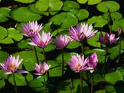
Search results from Open Library.
Recent natural events nearby
Ground air-quality sensors
Recently spotted species

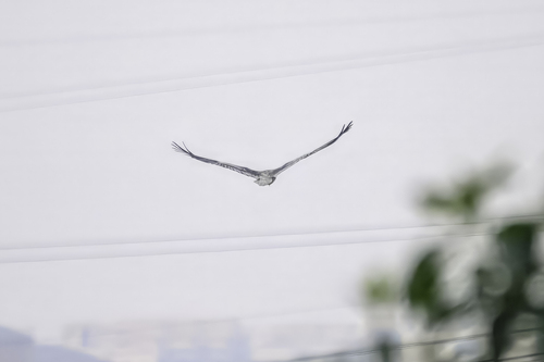
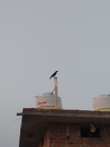
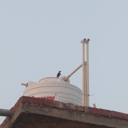

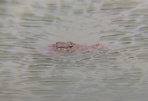
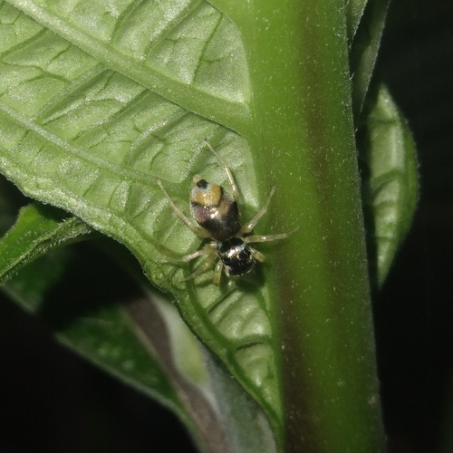
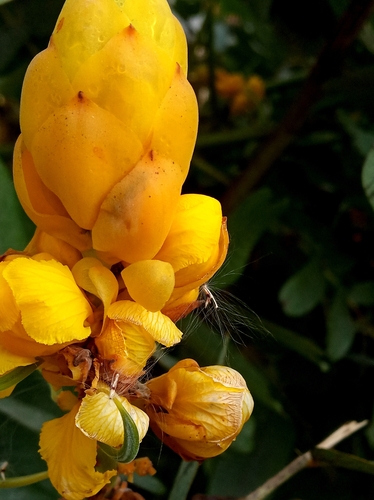
Research-grade observations from iNaturalist (within ~15 mi).
Events
Gallery
Sources
- • Wikipedia
- • Wikidata
- • iNaturalist
- • Open-Meteo / sunrise-sunset.org
- • Wikipedia Pageviews API
- • Open Library