Browse / India / Uttar Pradesh / Malihabad
Malihabad
Uttar Pradeshtown

Malihabad
Total population
15,806
Demographic figures from Ministry of Statistics (India). Overview below cites Wikipedia and may reference a different year.
City facts
Facts from Wikidata (CC0).
Overview
Malihabad is a town and nagar panchayat in the Lucknow district of Uttar Pradesh, India. It is also the seat of a tehsil and a community development block of the same name. As of 2011, its population was 17,818, in 3,032 households. Malihabad is the largest of Uttar Pradesh's 14 designated mango belts and accounted for 12.5% of all mango production in the state in 2013. Hundreds of mango varieties are grown here, including the Chausa, Langda, Safeda, and most famously the Dasheri, the "king of mangoes" of which it is one of India's main producers and exporters. Mango grower and Padma Shri recipient Haji Kaleem Ullah Khan has contributed to the popularization of Malihabad's mango industry.
Read more on WikipediaHistory & geography
History
Malihabad was historically the seat of a pargana, as mentioned in the Ain-i-Akbari. At the time of Shah Jahan it was colonized by Ammanzai Pathans, who became the primary landowners. During the reign of Safdarjung, the Pathan landlords Yaar Beg Khan Afridi, Baaz Khan Afridi, Karam Khan Afridi and others were granted a part of Malihabad, known as Kawalhar. In 1257H Nawab Faqir Muhammad khan Goya Grandson of Yaar Beg Khan Afridi became the commander-in-chief in the army of Ghazi-ud-Din Haidar Shah. He became enamored with Malihabad and requested permission from the Nawab to grow mangoes here, thus establishing the first mango plantation in Malihabad
Geography
Malihabad is located at . It has tropical monsoon climate (am), it has warm climate all year round. It has an average elevation of 128 metres (419 feet).The main areas in Malihabad are Mirzaganj, Syedwara, Chaudrana and Kewalhar. Malihabad's major population belongs to the rural areas and there are most probably 187 villages and 67 gram panchayats also included under the tahsheel of Malihabad.
Excerpted from the corresponding Wikipedia article (CC BY-SA).
Geography
Coordinates & boundaries from the US Census TIGER/Line shapefiles.
Climate
Air quality
Walkability
Amenities nearby
Wildlife & biodiversity
Earthquake history
Photos
Sights & places nearby
Notable people from here


People born within ~10 km, from Wikidata (CC0). Click any name for their Wikipedia article.
Nearby places in Uttar Pradesh
- Kakori6.1 mi away · pop. 16,731
- Mohan10.1 mi away
- Lucknow15 mi away · pop. 4,588,455
- Sandila15.5 mi away · pop. 10,000
- Nawab Ganj21 mi away
- Safipur25.9 mi away · pop. 5,000
- Sidhauli26 mi away · pop. 5,000
- Unnao29.6 mi away · pop. 177,658
- Amethi29.9 mi away · pop. 11,366
- Barabanki29.9 mi away · pop. 146,831
- Bangarmau30.6 mi away · pop. 5,000
- Bithoor35 mi away
Geography & sun
Elevation, sunrise/sunset and daylight from Open-Meteo. Solar climatology from NASA POWER.
Nearby airports
Public attention
Pageview totals from the Wikimedia Pageviews API.
Books about this place
Recent natural events nearby
Ground air-quality sensors
Recently spotted species
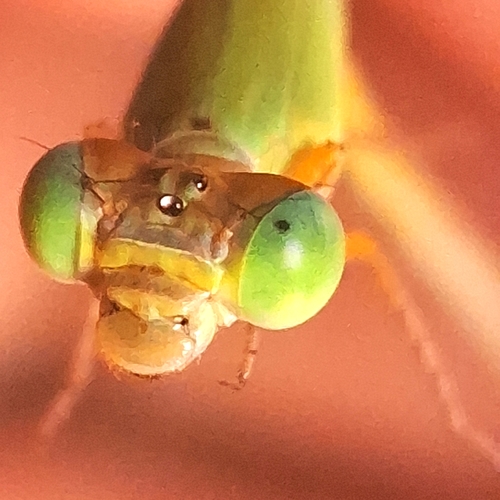
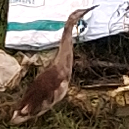
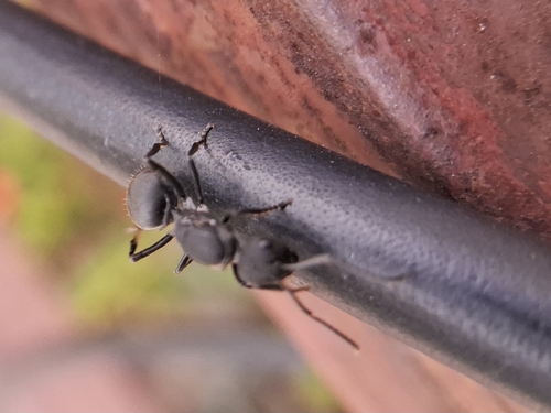
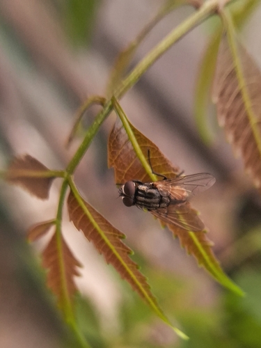
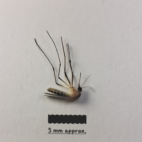
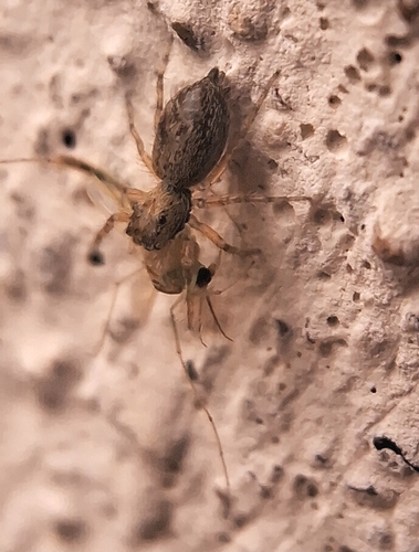

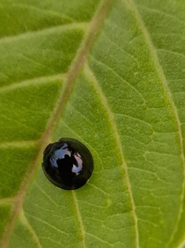
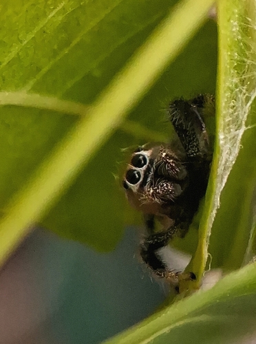
Research-grade observations from iNaturalist (within ~15 mi).
Events
Gallery
Sources
- • Wikipedia
- • Wikidata
- • iNaturalist
- • Open-Meteo / sunrise-sunset.org
- • Wikipedia Pageviews API