Browse / United States / Indiana / Kirklin
Kirklin
Indianatown

Kirklin
Total population
920
Median home value
$102,500
Bachelor's+
Median income
$56,458
Demographic figures from US Census Bureau · ACS 5-year estimates. Overview below cites Wikipedia and may reference a different year.
City facts
Facts from Wikidata (CC0).
Overview
Kirklin is a town in Kirklin Township, Clinton County, Indiana, United States. The population was 710 at the 2020 census. The town was named for Nathan Kirk, a local pioneer settler.
Read more on WikipediaHistory & geography
History
Nathan Kirk, the first white settler in eastern Clinton County, laid out the town of Kirklin in the early 1830s, the original plat consisting a row of seven blocks on either side of the Michigan Road (Main Street). An addition filed on October 24, 1836, added blocks to the east, west and south sides of the original plat. Edward Miller established the first general store in a log building and William Wynkoop built the first hotel; other early businesses included Hiram Dougherty's cabinet shop, James Hollcraft's bar, John Heffner's blacksmith shop, Columbus Kemp's tannery and M. Z. Saylor (physician). A total of 224 residents signed a petition to incorporate Kirklin, and an election held April 1, 1876, unanimously approved incorporation. On June 8, 1876, the county commissioners declared the town of Kirklin incorporated. In the early 20th century, Kirklin held horse shows and street fairs along its brick-paved Main Street. Kirklin was also commonly known as Kirk's Cross Roads. The Kirklin Public Library was listed on the National Register of Historic Places in 1995.
Geography
According to the 2020 census, Kirklin has a total area of , all land.
Excerpted from the corresponding Wikipedia article (CC BY-SA).
Demographics & economy
Race & ethnicity
Source: US Census Bureau — American Community Survey, 5-year estimates.
Geography
Coordinates & boundaries from the US Census TIGER/Line shapefiles.
Climate
Current forecast
Forecast for Kirklin, IN from NOAA NWS API.
Air quality
Industrial & pollution facilities
Natural hazard risk
Health (adults)
Age-adjusted prevalence estimates from CDC PLACES (latest release).
Walkability
Amenities nearby
Wildlife & biodiversity
Schools
Largest nearby schools
- Frankfort High SchoolHigh · Frankfort · 895 students · 14:1 ratio
- Frankfort Middle SchoolMiddle · Frankfort · 706 students · 16.4:1 ratio
- Clinton Central Elementary SchoolElementary · Michigantown · 469 students · 14.7:1 ratio
- Blue Ridge Primary Elementary SchElementary · Frankfort · 440 students · 17.6:1 ratio
- Green Meadows Intermediate ElemElementary · Frankfort · 410 students · 17.8:1 ratio
- Clinton Central Junior-Senior HSHigh · Michigantown · 398 students · 11.7:1 ratio
Public K–12 schools within ~10 mi from Urban Institute Education Data Portal (NCES Common Core of Data, 2022).
Earthquake history
Photos
Sights & places nearby
Notable people from here
Nearby places in Indiana
Geography & sun
Elevation, sunrise/sunset and daylight from Open-Meteo. Solar climatology from NASA POWER.
Nearby airports
Public attention
Pageview totals from the Wikimedia Pageviews API.
Books about Kirklin

Search results from Open Library.
Recent natural events nearby
Ground air-quality sensors
Recently spotted species
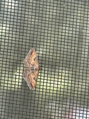



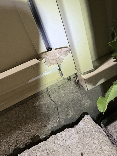
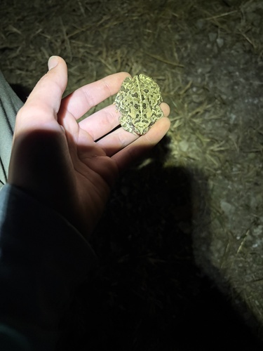
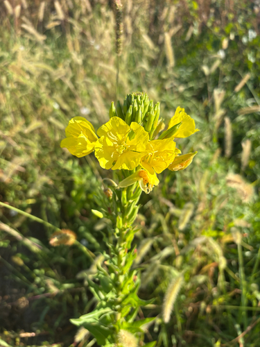

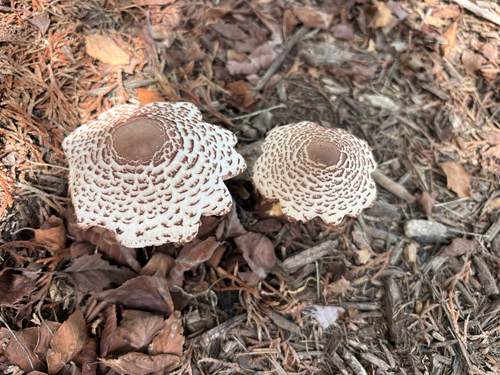
Research-grade observations from iNaturalist (within ~15 mi).
Nearest stream gauge
Events
Gallery
Sources
- • Wikipedia
- • US Census Bureau (ACS 5-year estimates)
- • NOAA National Weather Service
- • Wikidata
- • NCES via Urban Institute Education Data Portal
- • iNaturalist
- • CDC PLACES
- • Open-Meteo / sunrise-sunset.org
- • Wikipedia Pageviews API
- • Open Library