Browse / United States / Indiana / Linton
Linton
Indianacity

Linton
Total population
5,260
Median home value
$86,000
Bachelor's+
Median income
$45,440
Founded
1831
Demographic figures from US Census Bureau · ACS 5-year estimates. Overview below cites Wikipedia and may reference a different year.
City facts
Facts from Wikidata (CC0).
Overview
Linton is a city in Stockton Township, Greene County, Indiana, United States. The population was 5,133 at the 2020 census. A coal mining city, it is located southeast of Terre Haute.
Read more on WikipediaHistory & geography
History
Linton was essentially founded around the entrepreneuring of John W. Wines, who first sold goods in the Linton area, briefly in 1831. Although he would later relocate to Fairplay, Indiana, he returned and opened a general store in Linton in 1837. He would later build a small horse mill as well as a tannery. The city itself was officially chartered and named in June 1850, laid out by Hannah E. Osborn and Isaac V. Coddington. In the late 19th century, small underground coal mines began to appear near and almost inside the city and the population expanded rapidly. At the turn of the 20th century, the population was larger than it is today. At one point in the 1920s, there were at least 35 drinking establishments and an equal number of churches. In 1896, Linton drove 300 African-American strikebreakers from town after one of them shot a white boy, after which it became a sundown town, prohibiting African-Americans from living there. In 1903, union miners drove black waiters from town, and the ban expanded to all of Greene County. Violence against African-Americans continued into the 1940s. Historian James W. Loewen cites Linton as an example of a town where strikebreakers were used as pretext for more general discriminatory practices. In the 1920s, small surface mines began to predominate, and their small, unreclaimed hills and strip-pit lakes still surround the city. The lakes have provided a regular, if limited, amount of fishing tourism for decades. Signs of the underground mines remain as well, including tipples on private land and sinkholes that appear regularly on private property, roads and even within the city limits. By the 1940s, the underground mines were gone and the small surface mines had moved on or been consumed by large corporations such as Peabody Coal…
Geography
According to the 2010 census, Linton has a total area of , all land.
Excerpted from the corresponding Wikipedia article (CC BY-SA).
Demographics & economy
Race & ethnicity
Source: US Census Bureau — American Community Survey, 5-year estimates.
Geography
Coordinates & boundaries from the US Census TIGER/Line shapefiles.
Climate
Current forecast
Forecast for Linton, IN from NOAA NWS API.
Air quality
Industrial & pollution facilities
Natural hazard risk
Health (adults)
Age-adjusted prevalence estimates from CDC PLACES (latest release).
Walkability
Amenities nearby
Wildlife & biodiversity
Most-observed species
- Red-winged BlackbirdAgelaius phoeniceus (Linnaeus, 1766) · Aves8,693
- Song SparrowMelospiza melodia (A.Wilson, 1810) · Aves7,287
- American CrowCorvus brachyrhynchos C.L.Brehm, 1822 · Aves6,438
- Canada Goose (canadensis Group)Branta canadensis (Linnaeus, 1758) · Aves6,113
- KilldeerCharadrius vociferus Linnaeus, 1758 · Aves5,910
- Northern CardinalCardinalis cardinalis (Linnaeus, 1758) · Aves5,197
- MallardAnas platyrhynchos Linnaeus, 1758 · Aves4,999
- Great Blue/Cocoi HeronArdea herodias Linnaeus, 1758 · Aves4,617
Citizen-science & research observations from the Global Biodiversity Information Facility (GBIF).
Schools
Largest nearby schools
- Linton-Stockton ElementaryElementary · Linton · 702 students · 22.6:1 ratio
- Linton-Stockton High SchoolHigh · Linton · 386 students · 16.8:1 ratio
- Shakamak Elementary SchoolElementary · Jasonville · 370 students · 16.8:1 ratio
- Linton-Stockton Middle SchoolMiddle · Linton · 312 students · 13.6:1 ratio
- Shakamak Jr-Sr High SchoolHigh · Jasonville · 304 students · 11.7:1 ratio
- White River Valley High SchoolHigh · Switz City · 210 students · 11.7:1 ratio
- White River Valley Middle SchoolMiddle · Lyons · 209 students · 13.9:1 ratio
- Greene-Sullivan Special Ed CoopOther · Linton
Public K–12 schools within ~10 mi from Urban Institute Education Data Portal (NCES Common Core of Data, 2022).
Earthquake history
Photos
Sights & places nearby
Notable people from here
Nearby places in Indiana
- Dugger6 mi away · pop. 783
- Bloomfield11.8 mi away · pop. 2,713
- Hashtown12.6 mi away · pop. 87
- Sullivan14.1 mi away · pop. 4,252
- Lewis16.4 mi away · pop. 560
- Emison23.2 mi away · pop. 76
- Owensburg23.5 mi away · pop. 447
- Riley25.6 mi away · pop. 441
- Washington26.1 mi away · pop. 12,367
- Cannelburg26.8 mi away
- Monroe City30.9 mi away · pop. 767
- Staunton31.2 mi away · pop. 350
Geography & sun
Elevation, sunrise/sunset and daylight from Open-Meteo. Solar climatology from NASA POWER.
Nearby airports
Public attention
Pageview totals from the Wikimedia Pageviews API.
Books about Linton



Search results from Open Library.
Recent natural events nearby
Ground air-quality sensors
Recently spotted species
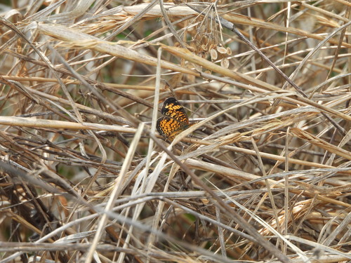

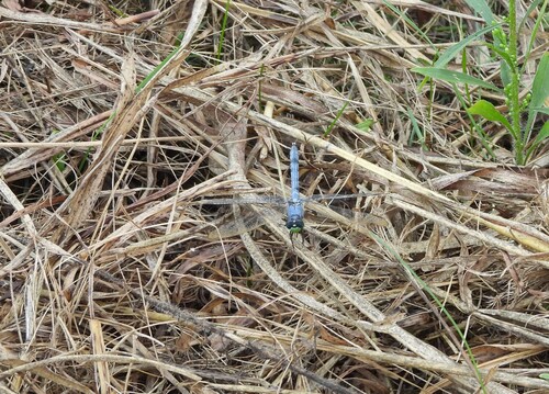

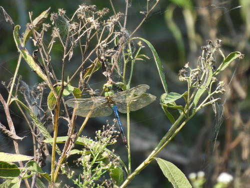
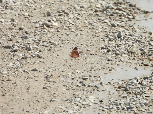
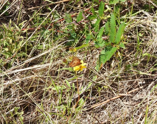


Research-grade observations from iNaturalist (within ~15 mi).
Nearest stream gauge
Events
Gallery
Sources
- • Wikipedia
- • US Census Bureau (ACS 5-year estimates)
- • NOAA National Weather Service
- • Wikidata
- • NCES via Urban Institute Education Data Portal
- • GBIF (Global Biodiversity Information Facility)
- • iNaturalist
- • CDC PLACES
- • Open-Elevation
- • Open-Meteo / sunrise-sunset.org
- • Wikipedia Pageviews API
- • Open Library