Browse / India / Rajasthan / Mount Abu
Mount Abu
Rajasthantown

Mount Abu
Total population
22,900
Demographic figures from Ministry of Statistics (India). Overview below cites Wikipedia and may reference a different year.
City facts
Facts from Wikidata (CC0).
Overview
Mount Abu is a hill station in the Sirohi district of the state of Rajasthan in western India. Here, the mountain forms a rocky plateau 22 km long by 9 km wide. It is sometimes referred to as an "oasis in the desert" due to the presence of rivers, lakes, waterfalls, and evergreen forests. It is also home to numerous Hindu and Jain temples.
Read more on WikipediaHistory & geography
History
The ancient name of Mount Abu is Arbuda. In the Puranas, the region has been referred to as Arbudaranya ("forest of Arbuda") and 'Abu' is a diminutive of this ancient name. It is believed that sage Vashistha retired to the southern spur at Mount Abu following his differences with sage Vishvamitra. There is another history story according to which a serpent named "Arbuda" saved the life of Nandi (Lord Shiva's bull). The incident happened on the mountain that is currently known as Mount Abu and so the mountain is named "Arbudaranya" after that incident which gradually became Abu. According to a legend, the sage Vashistha performed a yajna at the peak of Mount Abu, to seek from the gods a provision for the defense of righteousness on earth. In answer to his prayer, a youth arose from the Agnikunda (fire-altar) — the first Agnivansha. Achalgarh Fort is one of more attractive place which was built by Parmar kings. The Dilwara Jain Temple is a pilgrimage centre for the Jain religion among the lush green hills of Aravali. The Dilwara Jain Temple is located at a distance of 2.5 km from Mount Abu. Vastupala designed the temple. Vimal Shah built it between the 11th century and the 13th century. The complex is sculpted on white marble in every corner of the temple. Rao Lumba of the Deora-Chauhan dynasty conquered Mount Abu in 1311 CE. He shifted the capital to Chandravati in the plains. After the destruction of Chandravati in 1405, Rao Shasmal made Sirohi his headquarters. It was later leased by the British government from the Maharaja of Sirohi for use as the headquarters. The Arbuda Mountains region is said to be original abode of the famous gurus like Atri and Vashishtha. The association of the Gurus with the mountain is noticed in many inscriptions and epigraphs…
Excerpted from the corresponding Wikipedia article (CC BY-SA).
Geography
Coordinates & boundaries from the US Census TIGER/Line shapefiles.
Climate
Air quality
Walkability
Amenities nearby
Wildlife & biodiversity
Most-observed species
- Red-vented BulbulPycnonotus cafer (Linnaeus, 1766) · Aves3,332
- Jungle BabblerTurdoides striata (Dumont, 1823) · Aves2,953
- Saxicoloides fulicatus (Linnaeus, 1766)Saxicoloides fulicatus (Linnaeus, 1766) · Aves2,885
- Rock PigeonColumba livia J.F.Gmelin, 1789 · Aves2,844
- Laughing DoveSpilopelia senegalensis (Linnaeus, 1766) · Aves2,783
- Common TailorbirdOrthotomus sutorius (Pennant, 1769) · Aves2,728
- House SparrowPasser domesticus (Linnaeus, 1758) · Aves2,530
- Large-billed CrowCorvus macrorhynchos Wagler, 1827 · Aves2,512
Citizen-science & research observations from the Global Biodiversity Information Facility (GBIF).
Earthquake history
Most recent
- M 4.4 — 2021-11-1920 km SSW of Jalor, India
- M 4 — 2019-06-056 km SSE of ?bu, India
Events from the USGS Earthquake Catalog (global) (FDSN Event Web Service).
Photos
Sights & places nearby
Notable people from here


People born within ~10 km, from Wikidata (CC0). Click any name for their Wikipedia article.
Nearby places in Rajasthan
- Abu Road8.9 mi away · pop. 52,300
- Bhinmal39.9 mi away · pop. 49,700
- Ahore53.8 mi away · pop. 16,900
- Chitalwana69.3 mi away · pop. 8,200
- Gudha Malani74.3 mi away · pop. 6,330
- Fatehnagar88.4 mi away · pop. 22,800
- Salumbar89.9 mi away · pop. 16,400
- Dhorimanna90.1 mi away · pop. 6,500
- Marwar Junction96.5 mi away · pop. 12,000
- Raipur106.8 mi away · pop. 7,300
- Chittorgarh121.9 mi away · pop. 116,400
- Pipar City134.3 mi away · pop. 36,800
Geography & sun
Elevation, sunrise/sunset and daylight from Open-Meteo. Solar climatology from NASA POWER.
Nearby airports
Public attention
Pageview totals from the Wikimedia Pageviews API.
Books about Mount Abu

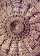
Search results from Open Library.
Recent natural events nearby
Ground air-quality sensors
Recently spotted species
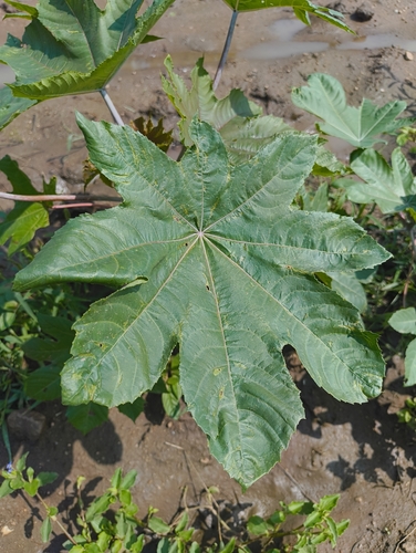
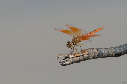
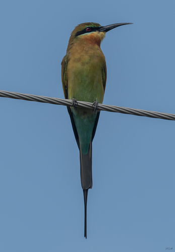
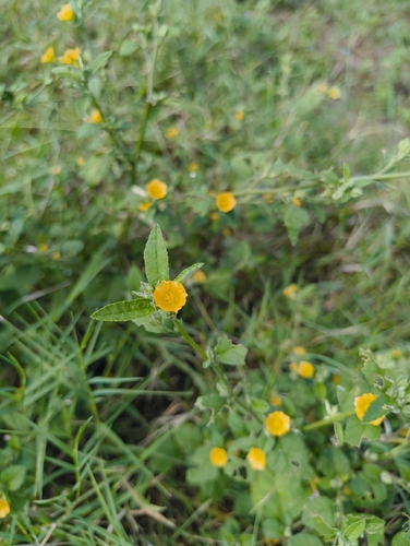
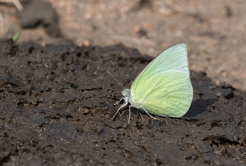
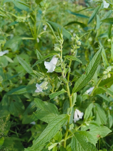
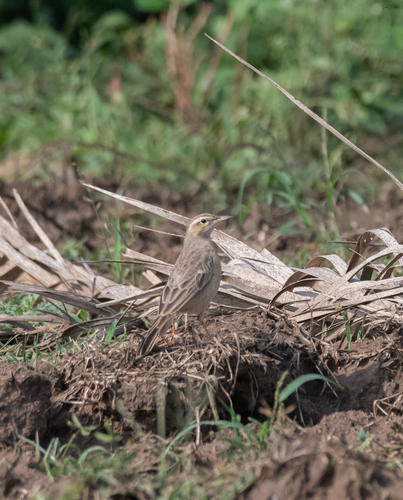
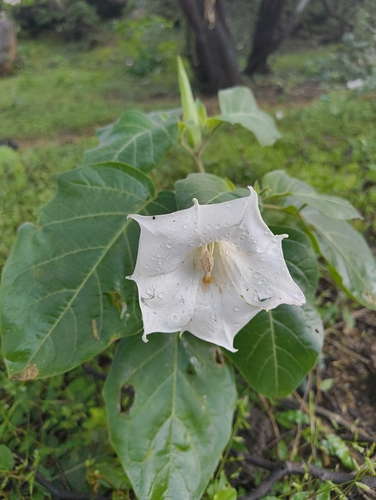
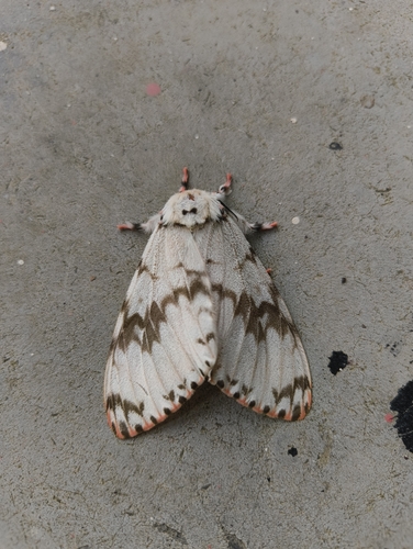
Research-grade observations from iNaturalist (within ~15 mi).
Events
Gallery
Sources
- • Wikipedia
- • Wikidata
- • USGS Earthquake Catalog (global feed)
- • GBIF (Global Biodiversity Information Facility)
- • iNaturalist
- • Open-Meteo / sunrise-sunset.org
- • Wikipedia Pageviews API
- • Open Library