Browse / India / Maharashtra / Mumbai
Mumbai
Maharashtracity

Mumbai
Total population
12,442,373
Founded
1507
Air quality index
Demographic figures from Ministry of Statistics (India). Overview below cites Wikipedia and may reference a different year.
City facts
Sister cities
Facts from Wikidata (CC0).
Overview
Mumbai, also known as Bombay, is the capital city of the Indian state of Maharashtra and the financial capital of India. Located on the Konkan coast along the west coast of India, it has a deep natural harbour. As per the 2011 Census of India, it is the most populous city proper in India, with a population of almost 12.5 million, while the Mumbai Metropolitan Region, which is among the most populous metropolitan areas in the world, has a population of over 20 million. The city forms part of the Mumbai City and Mumbai Suburban districts and is administered by the Brihanmumbai Municipal Corporation, which was established in 1888.
Read more on WikipediaHistory & geography
History
Mumbai is built on what was originally an archipelago of seven islands: Isle of Bombay, Parel, Mazagaon, Mahim, Colaba, Worli, and Old Woman's Island (also known as Little Colaba). Pleistocene sediments near Kandivali suggest that the islands were inhabited since the South Asian Stone Age. In the 3rd century BCE, the islands became part of the Maurya Empire under Ashoka, followed by the Satavahana dynasty in the 2nd century BCE. The Koli fishing community populated the region during the beginning of the Common Era. The Mahakali Caves in Andheri were cut out between the 1st century BCE and the 6th century CE, while the Kanheri Caves in Borivali, excavated in the 1st century CE, became an important centre of Buddhism in Western India. In the 2nd century, Greek geographer Ptolemy referred to the islands as Heptanesia (Ancient Greek: A cluster of seven islands). Between the 2nd century and 9th centuries, the islands were ruled by successive indigenous dynasties including the Western Satraps, Abhira, Vakataka, Kalachuris, Konkan Mauryas, Chalukyas, and Rashtrakutas, before being ruled by the Shilaharas from 810 to 1260. Important historic structures from this period that survive include the Jogeshwari Caves (between 520 and 525), Elephanta Caves (between 6th to 7th century), Walkeshwar Temple (10th century), and Banganga Tank (12th century). In the late 13th century, King Bhima established a kingdom in the region and made Mahikawati (present-day Mahim) its capital. Around 1298, the Pathare Prabhus, among the earliest known settlers of the city, migrated to Mahikawati from Saurashtra in Gujarat. The Delhi Sultanate annexed the islands in 1347–48 and ruled them until 1407, during which they were administered by Muslim governors of Gujarat appointed by the sultanate. The…
Geography
Mumbai is spread over an area of , and is divided into two districts–Mumbai City and Mumbai Suburban. The suburban district occupies and is divided into three tehsils–Andheri, Borivali, and Kurla. The city district-region located to the south is referred to as South Mumbai or "Island City", and occupies an area of . The Mumbai Metropolitan Region includes portions of Thane, Palghar and Raigad districts in addition to Greater Mumbai, and covers an area of . It lies at the mouth of the Ulhas River on the western coast of India, in the Konkan region. It shares the Salsette Island, with the Thane district. Navi Mumbai is located to the east of the Thane Creek, and Thane is situated towards the north of the Vasai Creek. The majority of the city lies just above the mean sea level, with elevations ranging from , and an average elevation of . Northern Mumbai consists of hilly terrain, with the highest point in the city at in the Powai–Kanheri range. The coastline is indented with creeks and bays, stretching from the Thane creek in the east to Madh Marve on the western front. The eastern coast of the Salsette Island is covered with mangrove swamps, while the western coast is mostly sandy and rocky. Soil cover in the city region is predominantly sandy. In the suburbs, the soil cover is largely alluvial and loamy. The underlying rock is black Deccan basalt, dating to the late Cretaceous and early Eocene eras. Mumbai sits on a seismically active zone with 23 fault lines. The area is a Seismic Zone III region, which means an earthquake of up to magnitude 6.5 on the Richter magnitude scale could occur. The Sanjay Gandhi National Park (Borivali National Park) is situated partly in the Mumbai suburban and Thane districts, and covers an area of . There are two major…
Excerpted from the corresponding Wikipedia article (CC BY-SA).
Geography
Coordinates & boundaries from the US Census TIGER/Line shapefiles.
Climate
10-year averages from ERA5 reanalysis (Open-Meteo).
Air quality
Current readings from Open-Meteo Air Quality API (Copernicus CAMS European reanalysis).
Walkability
Amenities nearby
Wildlife & biodiversity
Most-observed species
- House CrowCorvus splendens Vieillot, 1817 · Aves23,481
- Black KiteMilvus migrans (Boddaert, 1783) · Aves21,285
- Rock PigeonColumba livia J.F.Gmelin, 1789 · Aves17,657
- Rose-ringed ParakeetPsittacula krameri (Scopoli, 1769) · Aves16,796
- Common MynaAcridotheres tristis (Linnaeus, 1766) · Aves15,432
- Large-billed CrowCorvus macrorhynchos Wagler, 1827 · Aves14,501
- Common TailorbirdOrthotomus sutorius (Pennant, 1769) · Aves14,485
- Asian KoelEudynamys scolopaceus (Linnaeus, 1758) · Aves13,426
Citizen-science & research observations from the Global Biodiversity Information Facility (GBIF).
Earthquake history
Most recent
- M 4.1 — 2019-07-2425 km WSW of Shirgaon, India
Events from the USGS Earthquake Catalog (global) (FDSN Event Web Service).
Photos
Sights & places nearby
Notable people from here


People born within ~10 km, from Wikidata (CC0). Click any name for their Wikipedia article.
Nearby places in Maharashtra
- Navi Mumbai10 mi away · pop. 1,120,547
- Ulhasnagar22.7 mi away · pop. 506,937
- Matheran26.6 mi away · pop. 5,000
- Alibag28 mi away · pop. 20,700
- Neral29.4 mi away
- Umberpada31.8 mi away · pop. 5,000
- Nagothane39.5 mi away · pop. 5,000
- Khodala61.5 mi away · pop. 5,000
- Igatpuri63.4 mi away
- Chakan68 mi away · pop. 41,100
- Shrivardhan69.9 mi away
- Trimbak74.5 mi away
Geography & sun
Elevation, sunrise/sunset and daylight from Open-Meteo. Solar climatology from NASA POWER.
Nearby airports
Public attention
Pageview totals from the Wikimedia Pageviews API.
Books about Mumbai
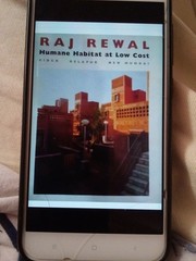
Search results from Open Library.
Recent natural events nearby
Ground air-quality sensors
Recently spotted species
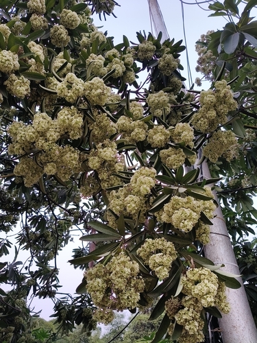
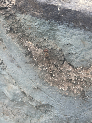
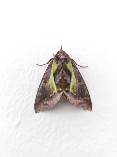
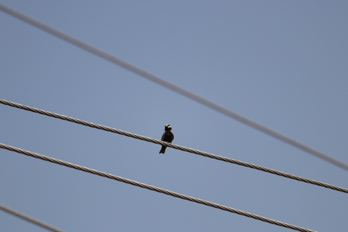
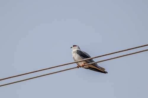
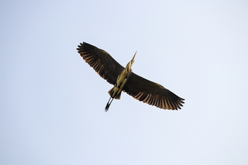
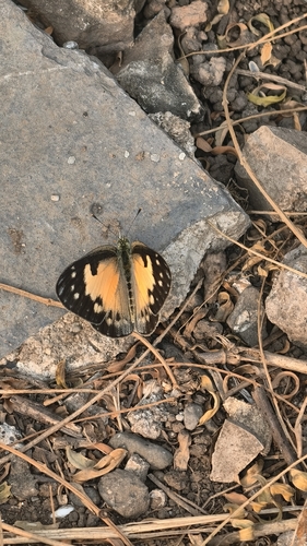
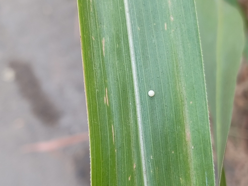
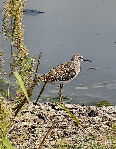
Research-grade observations from iNaturalist (within ~15 mi).
Events
Notable, recurring, and historical events associated with Mumbai, sourced from Wikidata.
- Feb 20, 2004
- Feb 17, 2001
- Feb 13, 2000
- Feb 21, 1999
- Jan 31, 1998
- Jan 1, 1997
- Jan 1, 1994
- Jan 1, 1993
- Jan 1, 1990
- Jan 1, 1985
- Jan 1, 1984
- Jan 1, 1983
- Jan 1, 1982
- Jan 1, 1981
- Jan 1, 1980
- Jan 1, 1978
- Jan 1, 1977
- Jan 1, 1975
- Apr 21, 1973
- Jan 1, 1972
Source: Wikidata (CC0).
Gallery
Geotagged photos within ~6 miles of Mumbai, from Wikimedia Commons contributors.
 0.2 mi
 0.4 mi
 0.4 mi
.jpg) 0.4 mi
0.4 mi 0.4 mi
 0.4 mi
 0.4 mi
 0.5 mi
 0.5 mi
 0.5 mi
 0.5 mi
 0.5 mi
 0.5 mi
 0.5 mi
 0.5 mi
 0.5 mi
 0.5 mi
 0.5 mi
 0.5 mi
 0.5 mi
 0.5 mi
 0.5 mi
 0.5 mi
 0.5 mi
Photos via Wikimedia Commons — see each image page for license & attribution.
Sources
- • Wikipedia
- • Open-Meteo (ERA5 reanalysis)
- • Wikimedia Commons
- • Wikidata
- • Open-Meteo Air Quality (CAMS)
- • USGS Earthquake Catalog (global feed)
- • GBIF (Global Biodiversity Information Facility)
- • iNaturalist
- • Open-Elevation
- • Open-Meteo / sunrise-sunset.org
- • Wikipedia Pageviews API
- • Open Library