Browse / India / Jharkhand / Muri
Muri
Jharkhandtown
Demographic figures from Ministry of Statistics (India). Overview below cites Wikipedia and may reference a different year.
City facts
Overview
Muri is a census town in the Silli CD block in the Ranchi Sadar subdivision of Ranchi district in the Indian state of Jharkhand. It is an important railway junction and is famous for Hindalco's alumina refinery.
Read more on WikipediaHistory & geography
Geography
Muri is located at . Muri is also divided into two parts Chota Muri and Bara Muri. It is located on the bank of Subarnarekha River and its tributary river Orang Gadda. There are many parks like Muri Tungri Park, Deer Park, Audio Visual Park, Ambedkar Park are located here. The Subarnarekha River forms the boundary with Purulia district in West Bengal before flowing through Seraikela Kharsawan district. The map alongside shows a part of the Ranchi plateau, most of it at an average elevation of 2,140 feet above sea level. Only a small part in the north-eastern part of the district is the lower Ranchi plateau, spread over Silli, Rahe, Sonahatu and Tamar CD blocks, at an elevation of 500 to 1,000 feet above sea level. There is a 16 km long ridge south-west of Ranchi. There are isolated hills in the central plateau. The principal river of the district, the Subarnarekha, originates near Ratu, flows in an easterly direction and descends from the plateau, with a drop of about 300 feet at Hundru Falls. Subarnarekha and other important rivers are marked on the map. The forested area is shaded in the map. A major part of the North Karanpura Area and some fringe areas of the Piparwar Area of the Central Coalfields Limited, both located in the North Karanpura Coalfield, are in Ranchi district. There has been extensive industrial activity in Ranchi district, since independence. Ranchi district is the first in the state in terms of population. 8.83% of the total population of the state lives in this district - 56.9% is rural population and 43.1% is urban population. Note: The map alongside presents some of the notable locations in the district. All places marked in the map are linked in the larger full screen map.
Excerpted from the corresponding Wikipedia article (CC BY-SA).
Geography
Coordinates & boundaries from the US Census TIGER/Line shapefiles.
Climate
Air quality
Walkability
Amenities nearby
Wildlife & biodiversity
Most-observed species
- Black DrongoDicrurus macrocercus Vieillot, 1817 · Aves180
- Saxicoloides fulicatus (Linnaeus, 1766)Saxicoloides fulicatus (Linnaeus, 1766) · Aves176
- Green Bee-eaterMerops orientalis Latham, 1801 · Aves174
- Red-vented BulbulPycnonotus cafer (Linnaeus, 1766) · Aves173
- Red-crested PochardNetta rufina (Pallas, 1773) · Aves163
- Eurasian Collared-DoveStreptopelia decaocto (Frivaldszky, 1838) · Aves157
- Spotted DoveSpilopelia chinensis (Scopoli, 1786) · Aves150
- Purple SunbirdCinnyris asiaticus (Latham, 1790) · Aves147
Citizen-science & research observations from the Global Biodiversity Information Facility (GBIF).
Earthquake history
Most recent
- M 4.5 — 2015-12-156 km E of Gobindpur, India
- M 4.3 — 2003-10-208 km E of Puruliya, India
Events from the USGS Earthquake Catalog (global) (FDSN Event Web Service).
Photos
Sights & places nearby
Notable people from here
Nearby places in Jharkhand
Geography & sun
Elevation, sunrise/sunset and daylight from Open-Meteo. Solar climatology from NASA POWER.
Nearby airports
Public attention
Pageview totals from the Wikimedia Pageviews API.
Books about this place
Recent natural events nearby
Ground air-quality sensors
Recently spotted species
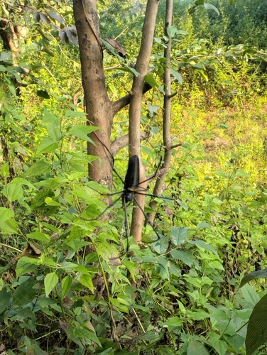
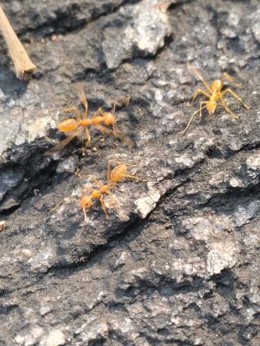
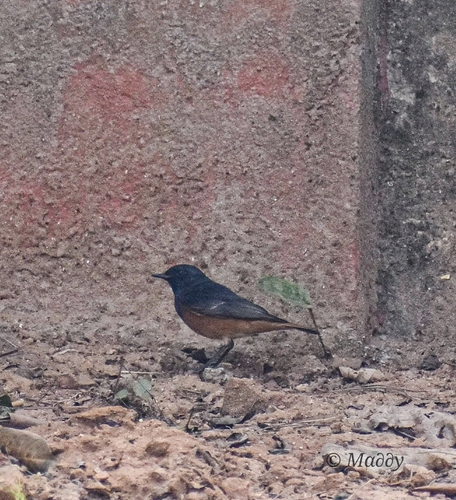
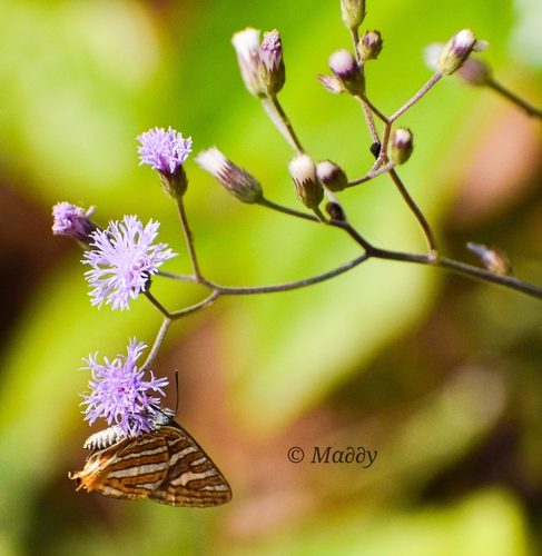
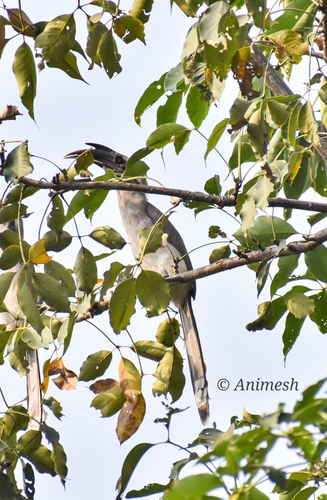
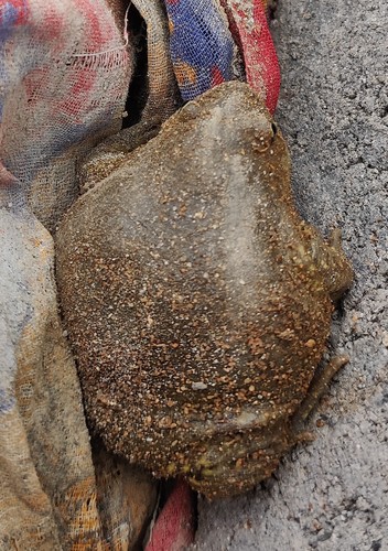
Research-grade observations from iNaturalist (within ~15 mi).
Events
Gallery
Sources
- • Wikipedia
- • USGS Earthquake Catalog (global feed)
- • GBIF (Global Biodiversity Information Facility)
- • iNaturalist
- • Open-Meteo / sunrise-sunset.org
- • Wikipedia Pageviews API