Browse / India / Rajasthan / Nana
Nana
Rajasthantown
Total population
10,300
Demographic figures from Ministry of Statistics (India). Overview below cites Wikipedia and may reference a different year.
City facts
Overview
As a small town in Rajasthan, India, Nana occupies its own corner of the country. Nana maps to 24.922°, 73.136° — squarely within the subtropical belt. It is home to roughly 10,300 residents. Open solar datasets indicate about 1,987 kWh/m² of solar irradiance per year, combined with sunshine for roughly 78% of daylight hours. Based on its subtropical position, residents likely encounter hot summers and mild winters typical of the subtropics. Further detail — demographics, climate, nearby amenities and natural-hazard data — is compiled below from public open-data sources.
Summary composed automatically from structured open data on this page. See our Terms for details.
History & geography
Geography
Coordinates & boundaries from the US Census TIGER/Line shapefiles.
Climate
Air quality
Walkability
Amenities nearby
Wildlife & biodiversity
Most-observed species
- Red-vented BulbulPycnonotus cafer (Linnaeus, 1766) · Aves401
- Indian PeafowlPavo cristatus Linnaeus, 1758 · Aves389
- Laughing DoveSpilopelia senegalensis (Linnaeus, 1766) · Aves387
- Red-wattled LapwingVanellus indicus (Boddaert, 1783) · Aves381
- Grey FrancolinOrtygornis pondicerianus (J.F.Gmelin, 1789) · Aves373
- Eurasian Collared-DoveStreptopelia decaocto (Frivaldszky, 1838) · Aves370
- Saxicoloides fulicatus (Linnaeus, 1766)Saxicoloides fulicatus (Linnaeus, 1766) · Aves364
- Greater CoucalCentropus sinensis (Stephens, 1815) · Aves314
Citizen-science & research observations from the Global Biodiversity Information Facility (GBIF).
Earthquake history
Most recent
- M 4.4 — 2021-11-1920 km SSW of Jalor, India
- M 4 — 2019-06-056 km SSE of ?bu, India
- M 4.6 — 2010-11-0920 km ENE of S?dri, India
Events from the USGS Earthquake Catalog (global) (FDSN Event Web Service).
Photos
Sights & places nearby
Notable people from here
Nearby places in Rajasthan
- Abu Road37.6 mi away · pop. 52,300
- Ahore38 mi away · pop. 16,900
- Bhinmal54.9 mi away · pop. 49,700
- Marwar Junction62.9 mi away · pop. 12,000
- Sarada69 mi away
- Raipur72.1 mi away · pop. 7,300
- Salumbar78.8 mi away · pop. 16,400
- Gudha Malani90.4 mi away · pop. 6,330
- Chitalwana92.5 mi away · pop. 8,200
- Chittorgarh93.3 mi away · pop. 116,400
- Pipar City104.1 mi away · pop. 36,800
- Dhorimanna108 mi away · pop. 6,500
Geography & sun
Elevation, sunrise/sunset and daylight from Open-Meteo. Solar climatology from NASA POWER.
Nearby airports
Public attention
Books about this place
Recent natural events nearby
Ground air-quality sensors
Recently spotted species
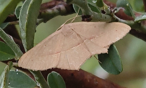
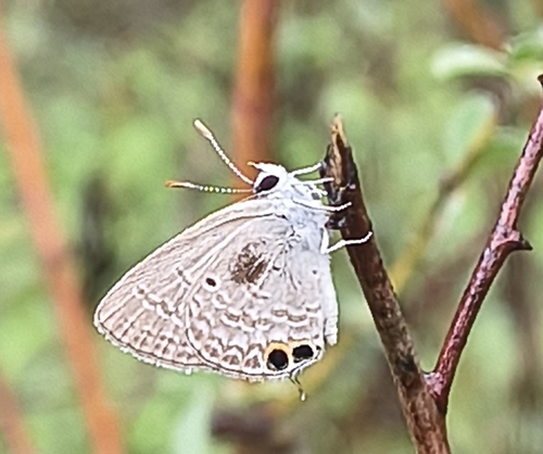
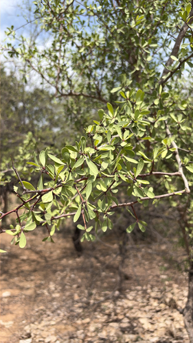


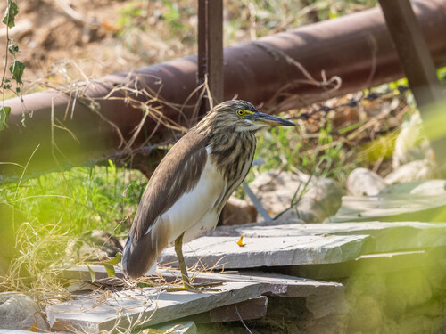

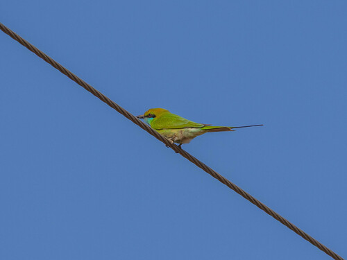
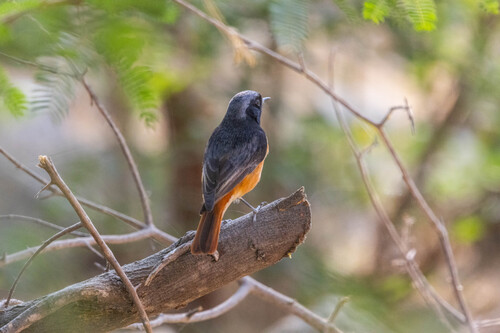
Research-grade observations from iNaturalist (within ~15 mi).
Events
Gallery
Sources
- • Wikidata
- • USGS Earthquake Catalog (global feed)
- • GBIF (Global Biodiversity Information Facility)
- • iNaturalist
- • Open-Meteo / sunrise-sunset.org