Browse / India / Himachal Pradesh / Paonta Sahib
Paonta Sahib
Himachal Pradeshtown

Paonta Sahib
Total population
5,000
Demographic figures from Ministry of Statistics (India). Overview below cites Wikipedia and may reference a different year.
City facts
Facts from Wikidata (CC0).
Overview
Paonta Sahib is an industrial city of Himachal Pradesh in India. It is located in the south of Sirmaur district, on National Highway 72 in Kyarda Doon valley. Paonta Sahib is an important place of worship for Sikhs, hosting a large Gurdwara named Gurudwara Paonta Sahib, on the banks of the river Yamuna. The river is the boundary between the states of Himachal Pradesh and Uttarakhand.
Read more on WikipediaHistory & geography
History
The town was founded by Sikh Guru Shri Guru Gobind Singh in 1685. The Gurudwara Paonta Sahib has linkages to the tenth Sikh Guru, Shri Guru Gobind Singh Ji and the Sikh leader Banda Singh Bahadur. Its original name was Paontika. In Hindi language, Paon means "feet" and tika means "became stable". It is believed that Shri Guru Gobind Singh Ji and his horse stopped at this place, and he decided to stay here. He lived here for four and a half years, having never stayed so long at any other place in his entire life. He wrote many Sikh religious books during the stay and moved to Anandpur Sahib to establish the Khalsa Panth. The Gurudwara houses a museum containing antiques and weapons used by Shri Guru Gobind Singh Ji. Paonta Sahib is the birthplace of Sahibzada Ajit Singh Ji, the eldest son of Shri Guru Gobind Singh Ji.
Geography
Paonta Sahib is located at . It has an average elevation of 389 metres (1,276 feet). It is on the bank of the river Yamuna, the river being the boundary between the states of Himachal Pradesh and Uttarakhand. It is situated near the towns of Nahan in Himachal Pradesh, and at the border of Yamunanagar in Haryana, Saharanpur in Western Uttar Pradesh and Dehradun in Uttarakhand. It is on the western extreme of the Doon Valley, which is at a distance of about 44 km from Dehradun. Kalesar National Park is 12 km from Paonta Sahib. Colonel Sher Jung National Park is around 7 km from the main town. Some luxury hotels to stay in Paonta Sahib are Hotel Guru Surbhi, Hotel Yamuna, and Hotel Paonta Valley.
Excerpted from the corresponding Wikipedia article (CC BY-SA).
Geography
Coordinates & boundaries from the US Census TIGER/Line shapefiles.
Climate
Air quality
Walkability
Amenities nearby
Wildlife & biodiversity
Earthquake history
Photos
Sights & places nearby
Notable people from here
Nearby places in Himachal Pradesh
Geography & sun
Elevation, sunrise/sunset and daylight from Open-Meteo. Solar climatology from NASA POWER.
Nearby airports
Public attention
Pageview totals from the Wikimedia Pageviews API.
Books about Paonta Sahib
Search results from Open Library.
Recent natural events nearby
Ground air-quality sensors
Recently spotted species
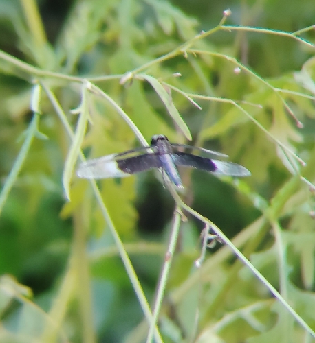

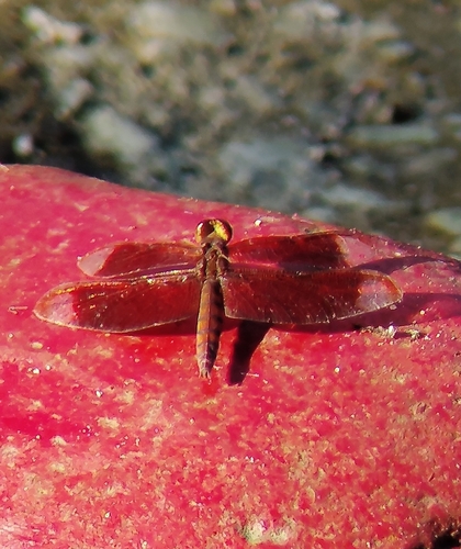
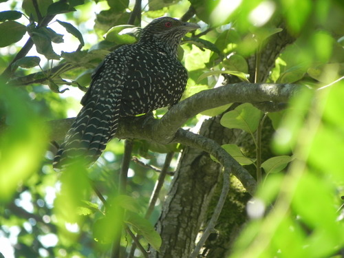
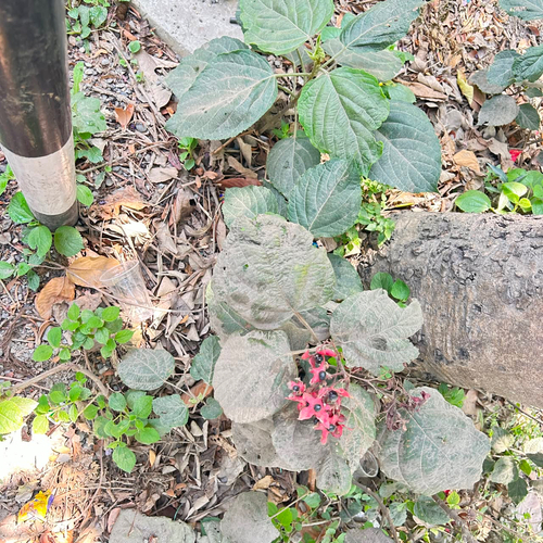
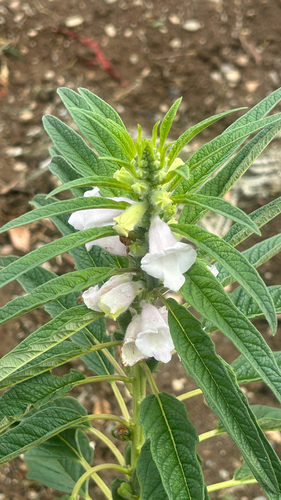
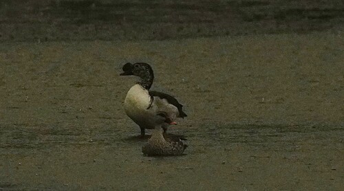
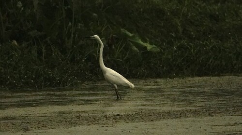
Research-grade observations from iNaturalist (within ~15 mi).
Events
Gallery
Sources
- • Wikipedia
- • Wikidata
- • iNaturalist
- • Open-Meteo / sunrise-sunset.org
- • Wikipedia Pageviews API
- • Open Library