Browse / India / Rajasthan / Taranagar
Taranagar
Rajasthantown

Taranagar
Total population
32,600
Demographic figures from Ministry of Statistics (India). Overview below cites Wikipedia and may reference a different year.
City facts
Facts from Wikidata (CC0).
Overview
Taranagar is a city and a municipality in Churu district in the Indian state of Rajasthan, situated at 28° 41'N 75° 3'E, about 28 miles south of Churu City. Taranagar was earlier known as Reni, named for the lady Rinkali who came here to live from Vishalnagar Koyalapatan, currently Foga in Sardarshar (Rajasthan). Reni was the headquarters of the nizamat and the tehsil of the same name in the state of Bikaner in Rajputana. The nizamat consisted of five eastern tehsils of Bhadra, Churu, Nohar, Rajgarh and Reni. In 1948, the town was renamed for King Tara Singh, who ruled it in the mid-18th century.
Read more on WikipediaHistory & geography
Geography
Taranagar is located at . It has an average elevation of 232 meters (761 feet). A part of Thar desert, it experiences extremities of climate both in summer and in the winter, that are however considered good for build-up of immunities, for general health. Town is located in the tehsil by the same name, under the Rajgarh subdivision of the Churu district. Historically, even the city of Churu used to be a part of Taranagar Tehsil. The town grew with its Mohallas (or localities) earmarked for different castes (that is to say known by caste names) that are even today referred to for the ease of practical identification but is officially now divided into different numerical wards for the postal, election or voting purposes.
Excerpted from the corresponding Wikipedia article (CC BY-SA).
Geography
Coordinates & boundaries from the US Census TIGER/Line shapefiles.
Climate
Air quality
Walkability
Amenities nearby
Wildlife & biodiversity
Earthquake history
Photos
Sights & places nearby
Notable people from here
Nearby places in Rajasthan
- Sahwa18.2 mi away · pop. 14,800
- Mandawa43 mi away · pop. 23,300
- Fatehpur Shekhawati46.9 mi away · pop. 92,600
- Pephana46.9 mi away · pop. 13,100
- Rawatsar56.1 mi away · pop. 35,102
- Laxmangarh58.7 mi away · pop. 47,300
- Singhana62.7 mi away · pop. 11,300
- Udaipurwati70.2 mi away · pop. 29,200
- Sri Dungargarh74 mi away · pop. 53,300
- Hanumangarh75.5 mi away · pop. 151,100
- Lunkaransar78.9 mi away · pop. 22,900
- Khandela78.9 mi away · pop. 26,000
Geography & sun
Elevation, sunrise/sunset and daylight from Open-Meteo. Solar climatology from NASA POWER.
Nearby airports
Public attention
Pageview totals from the Wikimedia Pageviews API.
Books about Taranagar
Search results from Open Library.
Recent natural events nearby
Ground air-quality sensors
Recently spotted species
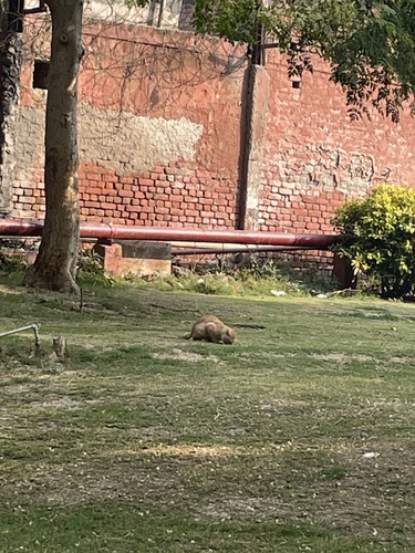
Research-grade observations from iNaturalist (within ~15 mi).
Events
Gallery
Sources
- • Wikipedia
- • Wikidata
- • iNaturalist
- • Open-Meteo / sunrise-sunset.org
- • Wikipedia Pageviews API
- • Open Library