Browse / India / Maharashtra / Thane
Thane
Maharashtracity

Thane
Total population
1,841,488
Air quality index
Demographic figures from Ministry of Statistics (India). Overview below cites Wikipedia and may reference a different year.
City facts
Facts from Wikidata (CC0).
Overview
Thane is a city in western India, in the state of Maharashtra. It neighbours Mumbai and is part of the Mumbai Metropolitan Region. It is situated in the north-east of Salsette Island.
Read more on WikipediaHistory & geography
History
Thane emerged as an urban area during the reign of the Shilahara dynasty, which ruled north Konkan during 800-1265 CE. A 1094 CE Shilahara inscription refers to Srī-sthānaka as a velakula, that is, a harbour that was an important centre for import and export. Thane is mentioned in the Mahikavatichi Bakhar, a 15th-17th century Marathi language historical chronicle of doubtful accuracy. According to the text, Prince Pratap Bimb, the brother of Champaner's king Govardhan Bimb, established a new kingdom by conquering territories in the Konkan region. In the 12th century, his general Balkrishn-rao Somvanshi captured Thane from the Shilahara king Yashwant-rao, and went on to conquer the surrounding territories. In the 13th century, Nagar-shah - the ruler of Ghandivi (Gandevi) - captured the area. His relatives demanded control of three villages - Malad, Marol and Thane - as a reward for their good performance in this military campaign. When Nagar-shah refused their demand, they allied with the imperial Yadavas of Devagiri. The area subsequently came under the control of the Yadava prince Bimb-dev, before Nagarshah regained control of it as a vassal of the Delhi Sultanate. Subsequently, the area was successively ruled by some local families, the Muzaffarids of Gujarat, and the Portuguese. The Thane area was contested between the Portuguese, the Mughals and the Marathas in the 17th century, with Shivaji capturing it from the Mughals in 1675. Later, the Portuguese regained control of Thane, and started building a fort there in 1734, but the Marathas captured it in 1737.
Geography
Thane has a tropical monsoon climate that borders on a tropical wet and dry climate. The overall climate is stable with high rainfall days and minimal days of extreme temperatures. Temperature in Thane varies from 22 °C to 36 °C, with winter temperatures as low as 12 °C at night, and summer temperatures reaching 40 °C at noon. Lowest daytime temperatures are typically during the summer monsoon peak in July and August, when temperatures can plummet to 25 °C. Around 80% of the total annual rainfall is concentrated in June to October. The average annual rainfall is recorded at 2000–2500mm, and the humidity level ranges from 61% to 86%, rendering the area a humid zone. Thane has been ranked 12th best "National Clean Air City" (under Category 1 >10L Population cities) in India according to the Swachh Vayu Survekshan 2024 results. {| class="wikitable sortable" |- ! No. !! Name !! Image !! Details !! Coordinates !! Area(in hectares) |- | 1 | Ambe Ghosale Lake | | At Meenatai Thakare Chowk, Castle Mill Naka (Opposite Desai Bunglow) in Uthalsar Ward committee | | 2.77 |- | 2 | Brahamala Lake | | Near Babubhai Petrol Pump in Uthalsar Ward Committee | | 0.5173 |- |3 |Burbank Lake | |Inside Hiranandani Estate, between Park Avenue and Wood Street. To the west of it is Lake Enclave. | |0.5857 |- | 4 | Datiwali Lake | | East side of Diva station situated in the marshland of Ulhas river in Mumbra Ward Committee Area | | 0.77 |- | 5 | Dawala Lake | | At Ovala in Majiwada-Manpada Prabhag Samiti | | 1.136 |- | 6 | Desai Lake | | On westside of Ulhas river, in Desai village in Mumbra Ward Committee | | 1.75 |- | 7 | Devasar Lake | | At the end of Bhayanderpada at foothills of Sanjay Gandhi National Park in Majiwada-Manpada Ward Committee | | 0.516 |- | 8…
Excerpted from the corresponding Wikipedia article (CC BY-SA).
Geography
Coordinates & boundaries from the US Census TIGER/Line shapefiles.
Climate
Air quality
Current readings from Open-Meteo Air Quality API (Copernicus CAMS European reanalysis).
Walkability
Amenities nearby
Wildlife & biodiversity
Most-observed species
- House CrowCorvus splendens Vieillot, 1817 · Aves26,804
- Black KiteMilvus migrans (Boddaert, 1783) · Aves22,597
- Common TailorbirdOrthotomus sutorius (Pennant, 1769) · Aves20,522
- Rose-ringed ParakeetPsittacula krameri (Scopoli, 1769) · Aves20,095
- Rock PigeonColumba livia J.F.Gmelin, 1789 · Aves19,720
- Common MynaAcridotheres tristis (Linnaeus, 1766) · Aves19,335
- Large-billed CrowCorvus macrorhynchos Wagler, 1827 · Aves17,720
- Red-vented BulbulPycnonotus cafer (Linnaeus, 1766) · Aves15,483
Citizen-science & research observations from the Global Biodiversity Information Facility (GBIF).
Earthquake history
Most recent
- M 4.1 — 2019-07-2425 km WSW of Shirgaon, India
Events from the USGS Earthquake Catalog (global) (FDSN Event Web Service).
Photos
Sights & places nearby
Notable people from here
Nearby places in Maharashtra
- Bhiwandi9.5 mi away · pop. 100,000
- Mira-Bhayander10.2 mi away · pop. 809,378
- Navi Mumbai11.8 mi away · pop. 1,120,547
- Ambivali14 mi away
- Ambernath15 mi away · pop. 300,000
- Titwala16.8 mi away
- Panvel17.3 mi away · pop. 180,020
- Kulgaon Badlapur17.6 mi away · pop. 150,000
- Umberpada20.3 mi away · pop. 5,000
- Uran21.8 mi away · pop. 30,400
- Matheran24.1 mi away · pop. 5,000
- Rasayani24.7 mi away
Geography & sun
Nearby airports
Public attention
Books about this place
Recent natural events nearby
Ground air-quality sensors
Recently spotted species
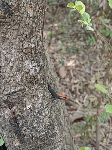
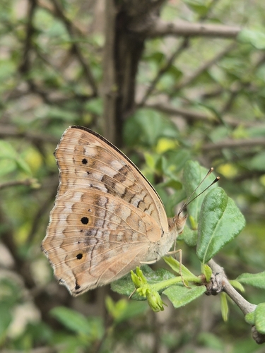
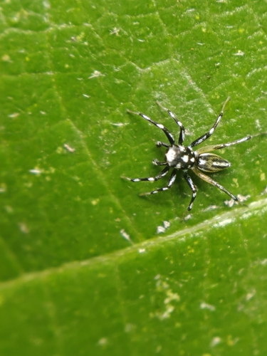
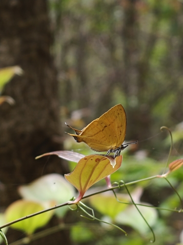
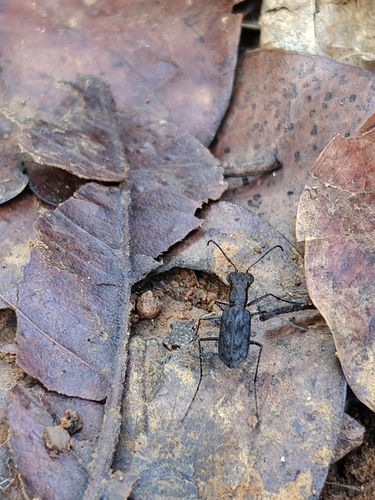
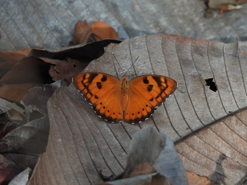
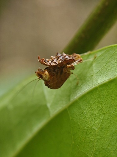
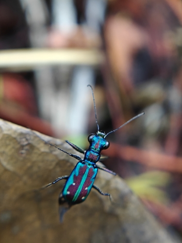
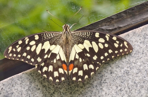
Research-grade observations from iNaturalist (within ~15 mi).
Events
Notable, recurring, and historical events associated with Thane, sourced from Wikidata.
Source: Wikidata (CC0).
Gallery
Geotagged photos within ~6 miles of Thane, from Wikimedia Commons contributors.
 0.1 mi
 0.2 mi
 0.2 mi
 0.2 mi
 0.2 mi
 0.2 mi
 0.2 mi
 0.2 mi
 0.2 mi
 0.2 mi
 0.2 mi
 0.2 mi
 0.2 mi
 0.2 mi
 0.2 mi
 0.2 mi
 0.2 mi
.jpg) 0.2 mi
0.2 mi.jpg) 0.3 mi
0.3 mi.jpg) 0.3 mi
0.3 mi 0.3 mi
 0.3 mi
 0.4 mi
_(425553844).jpg) 0.4 mi
0.4 miPhotos via Wikimedia Commons — see each image page for license & attribution.
Sources
- • Wikipedia
- • Wikimedia Commons
- • Wikidata
- • Open-Meteo Air Quality (CAMS)
- • USGS Earthquake Catalog (global feed)
- • GBIF (Global Biodiversity Information Facility)
- • iNaturalist