Browse / Italy / Aosta Valley / Champoluc
Champoluc
Aosta Valleyvillage

Champoluc
Demographic figures from ISTAT. Overview below cites Wikipedia and may reference a different year.
City facts
Facts from Wikidata (CC0).
Overview
Champoluc is a village in the commune of Ayas, in the Aosta Valley, Northern Italy.
Read more on WikipediaHistory & geography
Geography
It is one of the 3 main villages in the commune of Ayas, together with Antagnod (where the town hall is located) and Saint-Jacques-des-Allemands. It lies at an altitude of 1568 metres in a broad flat part of the upper Ayas valley. Above Champoluc, to the East, is the Plan du Crest (1975 meters), one of the largest ski areas in the Aosta Valley, reachable by cable car from the centre of the village. In summer, the Crest is a popular place for hiking.
Excerpted from the corresponding Wikipedia article (CC BY-SA).
Geography
Coordinates & boundaries from the US Census TIGER/Line shapefiles.
Climate
Air quality
Walkability
Amenities nearby
Wildlife & biodiversity
Earthquake history
Photos
Sights & places nearby
Notable people from here


People born within ~10 km, from Wikidata (CC0). Click any name for their Wikipedia article.
Nearby places in Aosta Valley
- Antagnod2.1 mi away · pop. 242
- Meytéres2.5 mi away
- Lignod2.7 mi away
- Vollon4.5 mi away
- Gressoney-La-Trinité4.7 mi away · pop. 164
- Gressoney-Saint-Jean6 mi away · pop. 400
- Châtillon7.9 mi away
- Challand-Saint-Anselme8.1 mi away
- Breuil-Cervinia8.5 mi away · pop. 700
- Lezin8.6 mi away
- Challand-Saint-Victor Capoluogo - Ville9.9 mi away
- Champdepraz10.6 mi away
Geography & sun
Nearby airports
Public attention
Books about this place
Recent natural events nearby
Ground air-quality sensors
Recently spotted species
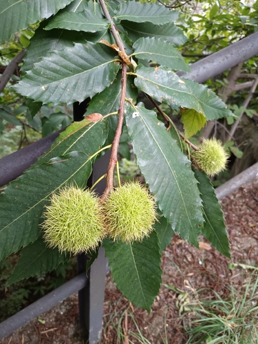
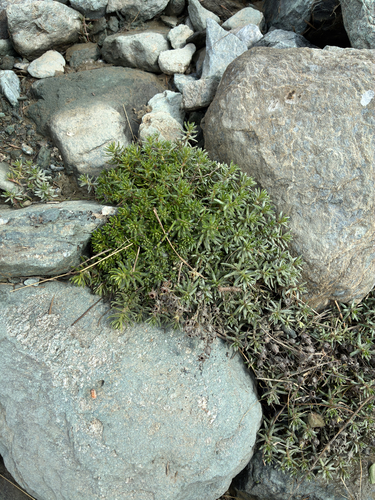

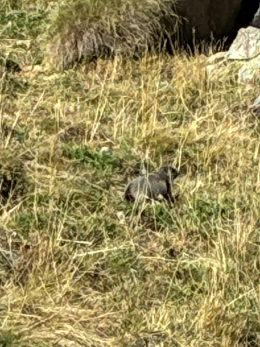
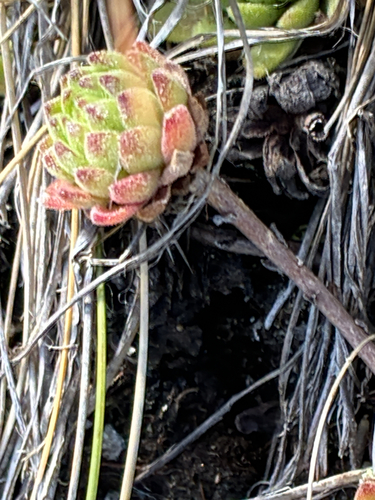


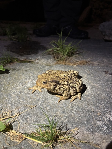
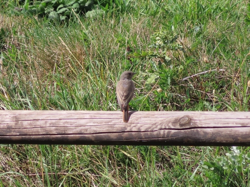
Research-grade observations from iNaturalist (within ~15 mi).
Events
Gallery
Sources
- • Wikipedia
- • Wikidata
- • iNaturalist