Browse / Italy / Abruzzo / Colonnella
Colonnella
Abruzzovillage
Total population
3,272
Demographic figures from ISTAT. Overview below cites Wikipedia and may reference a different year.
City facts
Sister cities
Facts from Wikidata (CC0).
Overview
Colonnella is a comune in the province of Teramo in the Abruzzo region of eastern Italy. It belongs to the Unione dei Comuni Città Territorio-Val Vibrata, an inter-municipal body that groups Colonnella with eleven neighboring towns.
Read more on WikipediaHistory & geography
History
According to Pliny the Elder in his Natural Historia, in ancient times, in the territory of greater Colonnella, stood the Liburnic city of Truentum, now believed to be in the current Colle della Civita. Archaeological traces of the Roman period are scattered throughout the territory of Colonnella and the best preserved among them are ancient Roman Cisterns, Cincolà and Ricci. After the western Roman Empire came under the rule of the eastern Roman Empire beginning in 476 CE, first with Odoacer and then under the Ostrogoths, the Colonnella area continued to be part of the Praetorian prefecture of Italy. In 535, the Roman emperor Justinian I invaded Italy as part of a war of re-conquest of the west. It was a brutal war, and Truentum suffered the dismantling of the port and the destruction of the city. The decimated people took refuge in the surrounding hills of the ancient city. From this, Colonnella was born several decades later, after the Lombards invaded now Byzantine Italy. Around 580, the area was invaded by the Lombards. The survivors of Truentum, which was now definitively abandoned, rebuilt on the hill of the current hamlet of the Civita, a settlement called Civitas Tomacchiara and, at the mouth of the Tronto, Torri a Tronto. However, the incursions and insecurity of those times pushed the populations of the two villages increasingly inland; and, coming together at the highest point of the surrounding hills, founded Colonnella. The city arose from the encastling of these two populations: that of the parish of San Biagio, formerly occupying the easternmost part of the settlement, and that of Saints Cipriano and Giustina, the only parish that survives today. The city's name appears to derive from the Latin columella (small column) and not from the later feudal…
Geography
Colonnella is located in the Val Vibrata (Valley of the Vibrata River). To the north it is bordered by the municipality of Monteprandone in the Marche region, to the east by the municipality of Martinsicuro, to the south by Alba Adriatica, and to the west by the municipalities of Controguerra and Corropoli. Colonnella is subdivided into nine districts: the Centro capoluogo, Contrada Civita, Contrada Giardino, Contrada Riomoro, Contrada San Giovanni, Contrada San Martino, Contrada Sant'Angelo, Contrada Vallecupa, Contrada Vibrata, and Contrada Isola. Colonnella as described in the early 19th century: "Colonnella, is a land in Abruzzo Ultra, in the province of Teramo; in the diocese of Campli. It [is] in the Duchy of Atri, which is part of the Kingdom, seen high in the hills, two miles away from the sea, and eighteen from the city of Teramo. The air you breathe is very healthy and enjoys a surprising horizon, dominating by much of the Papal States (le Marche)."
Excerpted from the corresponding Wikipedia article (CC BY-SA).
Geography
Coordinates & boundaries from the US Census TIGER/Line shapefiles.
Climate
Air quality
Walkability
Amenities nearby
Wildlife & biodiversity
Earthquake history
Photos
Sights & places nearby
Notable people from here


People born within ~10 km, from Wikidata (CC0). Click any name for their Wikipedia article.
Nearby places in Abruzzo
- Controguerra2.6 mi away · pop. 2,480
- Martinsicuro2.7 mi away · pop. 16,033
- Villa Rosa3.2 mi away · pop. 3,661
- Corropoli3.5 mi away · pop. 3,752
- Alba Adriatica4.1 mi away · pop. 12,353
- Nereto4.5 mi away · pop. 4,425
- Tortoreto5.3 mi away · pop. 11,542
- Torano Nuovo5.6 mi away · pop. 1,684
- Tortoreto Lido6.2 mi away
- Salino6.5 mi away
- Sant'Omero6.7 mi away · pop. 5,274
- Ancarano6.8 mi away · pop. 1,774
Geography & sun
Elevation, sunrise/sunset and daylight from Open-Meteo. Solar climatology from NASA POWER.
Nearby airports
Public attention
Pageview totals from the Wikimedia Pageviews API.
Books about this place
Recent natural events nearby
Ground air-quality sensors
Recently spotted species
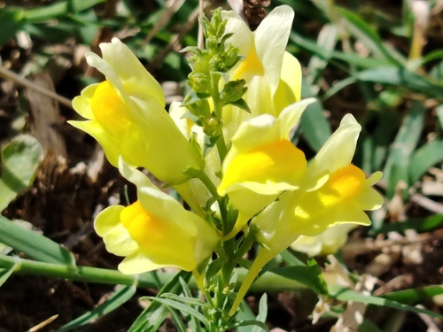
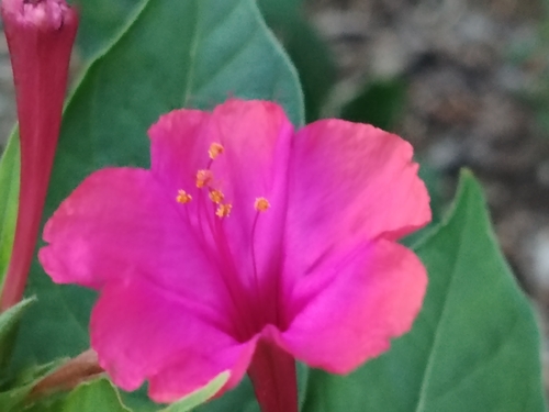
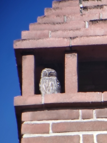
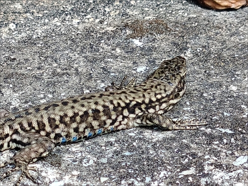
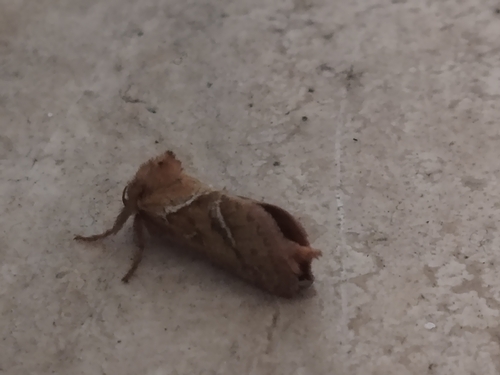
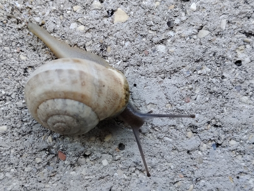



Research-grade observations from iNaturalist (within ~15 mi).
Events
Gallery
Official Identifiers
ISTAT — Italian National Institute of Statistics
- ISTAT code
- 067019
- Province
- Teramo (TE)
- Region
- Abruzzo
- NUTS3 (2024)
- ITF12
- Codice catastale
- C901
Elenco comuni italiani (CC BY 3.0 IT)
Sources
- • Wikipedia
- • Wikidata
- • iNaturalist
- • Open-Meteo / sunrise-sunset.org
- • Wikipedia Pageviews API
- • ISTAT — Italian national statistics (Elenco comuni italiani), via istat.it (official ISTAT code, province, region, NUTS3, codice catastale)
- • ISTAT — Italian National Institute of Statistics — Elenco comuni italiani (CC BY 3.0 IT)