Browse / Italy / Abruzzo / Tortoreto
Tortoreto
Abruzzotown
Total population
11,542
Demographic figures from ISTAT. Overview below cites Wikipedia and may reference a different year.
City facts
Overview
Found in Abruzzo, Italy, Tortoreto is classified as a small town in public datasets. Recent open-data figures place its population at about 11,542. On the world map it falls within the Eastern Hemisphere, specifically at 42.804°, 13.914°. The latitude suggests four distinct seasons with warm summers and cold winters. Solar-resource estimates put the area at about 1,473 kWh/m² of solar irradiance per year with sunshine for roughly 58% of daylight hours. It is grouped under the Teramo province in national statistics. Continue scrolling for population, climate, environmental and points-of-interest data drawn from public sources.
Summary composed automatically from structured open data on this page. See our Terms for details.
History & geography
Geography
Coordinates & boundaries from the US Census TIGER/Line shapefiles.
Climate
Air quality
Walkability
Amenities nearby
Wildlife & biodiversity
Most-observed species
- Little Egret/Western Reef-HeronEgretta garzetta (Linnaeus, 1766) · Aves104
- Eurasian MagpiePica pica (Linnaeus, 1758) · Aves100
- Eurasian Collared-DoveStreptopelia decaocto (Frivaldszky, 1838) · Aves94
- European StarlingSturnus vulgaris Linnaeus, 1758 · Aves94
- Italian SparrowPasser italiae (Vieillot, 1817) · Aves91
- Yellow-legged GullLarus michahellis J.F.Naumann, 1840 · Aves88
- MallardAnas platyrhynchos Linnaeus, 1758 · Aves86
- Black-headed GullChroicocephalus ridibundus (Linnaeus, 1766) · Aves85
Citizen-science & research observations from the Global Biodiversity Information Facility (GBIF).
Earthquake history
Most recent
- M 2.6 — 2026-07-241 km NNW of Petritoli, Italy
- M 4.2 — 2026-05-234 km WSW of Bolognola, Italy
- M 4 — 2023-11-142 km ESE of Monteleone di Fermo, Italy
- M 4.2 — 2023-02-212 km NE of Pollenza, Italy
- M 4.3 — 2022-09-221 km S of Appignano del Tronto, Italy
- M 4.3 — 2022-06-0911 km ENE of Cupra Marittima, Italy
Events from the USGS Earthquake Catalog (global) (FDSN Event Web Service).
Photos
Sights & places nearby
Notable people from here


People born within ~10 km, from Wikidata (CC0). Click any name for their Wikipedia article.
Nearby places in Abruzzo
- Salino1.3 mi away
- Tortoreto Lido1.5 mi away
- Alba Adriatica2.2 mi away · pop. 12,353
- Montone2.6 mi away
- Villa Rosa3.3 mi away · pop. 3,661
- Corropoli4.3 mi away · pop. 3,752
- Nereto5.1 mi away · pop. 4,425
- Colonnella5.3 mi away · pop. 3,272
- Martinsicuro5.6 mi away · pop. 16,033
- Sant'Omero5.8 mi away · pop. 5,274
- Colleranesco5.9 mi away · pop. 1,096
- Controguerra6 mi away · pop. 2,480
Geography & sun
Elevation, sunrise/sunset and daylight from Open-Meteo. Solar climatology from NASA POWER.
Nearby airports
Public attention
Books about this place
Recent natural events nearby
Ground air-quality sensors
Recently spotted species
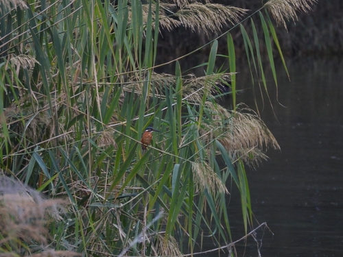
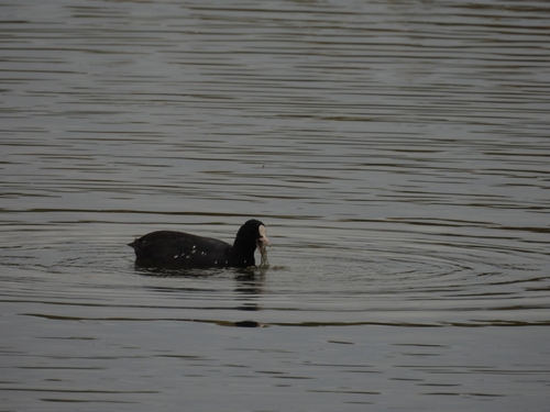
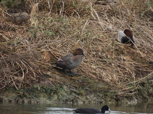
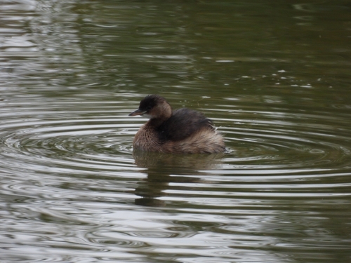
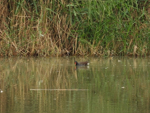
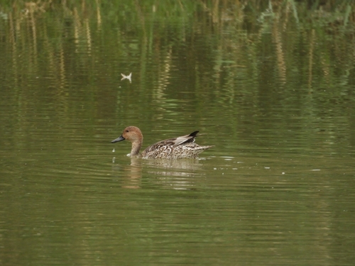
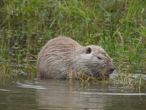

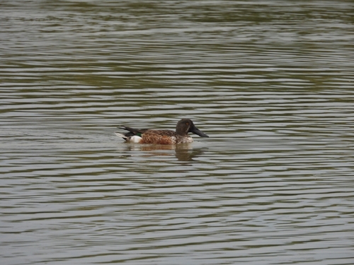
Research-grade observations from iNaturalist (within ~15 mi).
Events
Gallery
Official Identifiers
ISTAT — Italian National Institute of Statistics
- ISTAT code
- 067044
- Province
- Teramo (TE)
- Region
- Abruzzo
- NUTS3 (2024)
- ITF12
- Codice catastale
- L307
Elenco comuni italiani (CC BY 3.0 IT)
Sources
- • Wikidata
- • USGS Earthquake Catalog (global feed)
- • GBIF (Global Biodiversity Information Facility)
- • iNaturalist
- • Open-Meteo / sunrise-sunset.org
- • ISTAT — Italian national statistics (Elenco comuni italiani), via istat.it (official ISTAT code, province, region, NUTS3, codice catastale)
- • ISTAT — Italian National Institute of Statistics — Elenco comuni italiani (CC BY 3.0 IT)