Browse / Italy / Umbria / Costacciaro
Costacciaro
Umbriavillage

Costacciaro
Total population
483
Demographic figures from ISTAT. Overview below cites Wikipedia and may reference a different year.
City facts
Facts from Wikidata (CC0).
Overview
Costacciaro is a comune (municipality) in the Province of Perugia in the Italian region Umbria, located about 40 km northeast of Perugia. It is a medieval town that was first under the rule of Perugia and Gubbio before becoming part of the Papal States in the 15th century.
Read more on WikipediaHistory & geography
History
Costacciaro is considered a settlement of ancient origin, contrary to earlier historians who dated its foundation to the 13th century. Local archival evidence suggests a more remote origin. In 1379 the inhabitants rebelled against the bishop of Gubbio, and the castle became a center for exiles. Peace was concluded in 1383, when the bishop guaranteed protection to the settlement. The following year, in 1384, the community submitted to Antonio II da Montefeltro. In 1860 the settlement was annexed to the Kingdom of Italy. On 23 December of that year it was transferred from the Province of Urbino to the Province of Umbria.
Geography
The town is situated on a hill at the foot of Mount Cucco, at an elevation of about 500 metres above sea level. It lies approximately east of Gubbio and west of Fabriano. Mount Cucco rises above the town to a height of about 1,500 metres. Its well-known stalactite caves, long regarded as a natural curiosity, attracted the attention of scholars and visitors in the 19th century. They were described by Counts Girolamo and Forte Gabrielli, members of a prominent local noble family. About from the town, in the direction of Sigillo, lie the remains of a bridge over the Scirca stream, traditionally identified as an Etruscan structure later restored under the Roman consul Flaminius. In 2021, 192 people lived in rural dispersed dwellings not assigned to any named locality. At the time, most of the population lived in Costacciaro proper (483), Villa Col dei Canali (202), and Costa San Savino (125). The following localities had no recorded permanent residents: Località Palazzo Billi.
Excerpted from the corresponding Wikipedia article (CC BY-SA).
Geography
Coordinates & boundaries from the US Census TIGER/Line shapefiles.
Climate
Air quality
Walkability
Amenities nearby
Wildlife & biodiversity
Earthquake history
Photos
Sights & places nearby
Notable people from here
Nearby places in Umbria
- Villa Col dei Canali1.5 mi away · pop. 202
- Sigillo2.5 mi away · pop. 2,057
- Scheggia3.8 mi away · pop. 638
- Purello3.8 mi away · pop. 604
- Fossato di Vico5 mi away · pop. 349
- Spada5.2 mi away · pop. 316
- Osteria del Gatto5.2 mi away · pop. 1,346
- Casanova di Torre5.3 mi away · pop. 706
- Padule-San Marco5.7 mi away · pop. 2,247
- San Pellegrino6.8 mi away · pop. 374
- Gubbio6.8 mi away · pop. 14,150
- Cipolleto7.3 mi away · pop. 1,026
Geography & sun
Elevation, sunrise/sunset and daylight from Open-Meteo. Solar climatology from NASA POWER.
Nearby airports
Public attention
Pageview totals from the Wikimedia Pageviews API.
Books about this place
Recent natural events nearby
Ground air-quality sensors
Recently spotted species
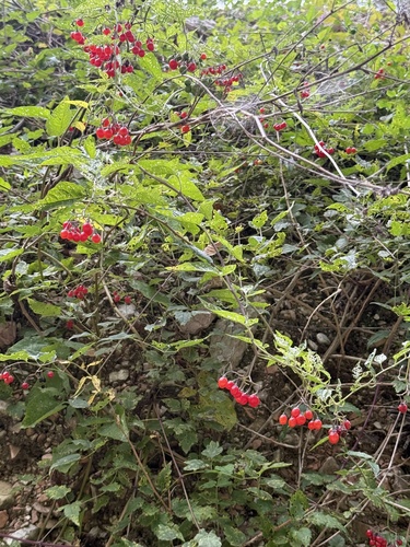
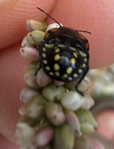
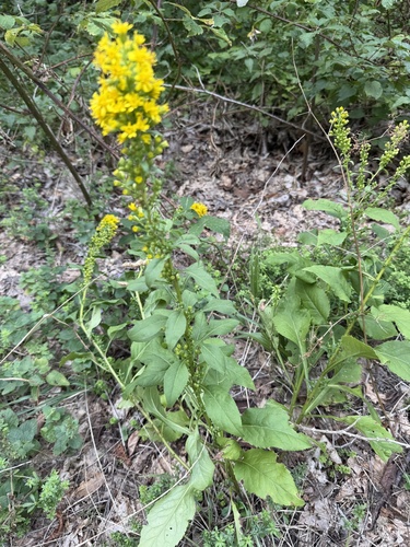
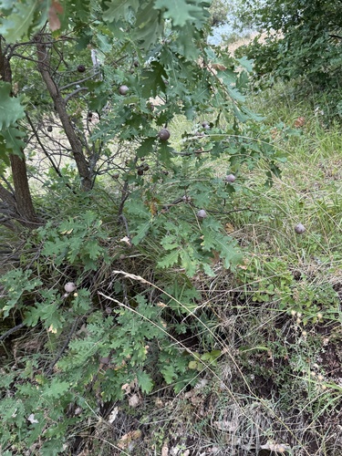
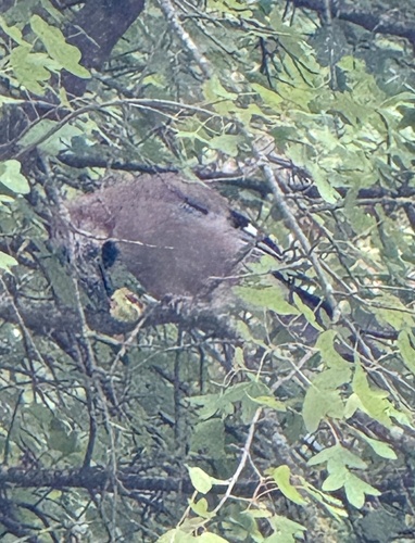
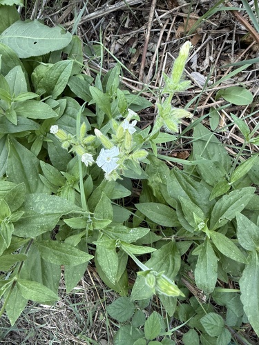
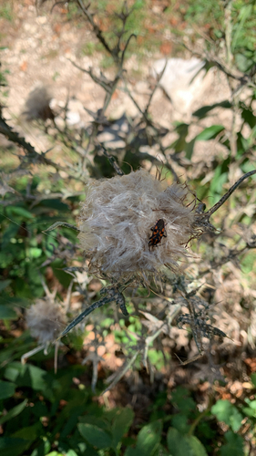
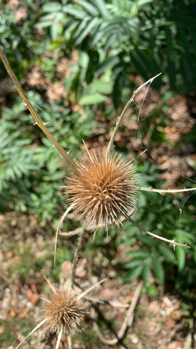
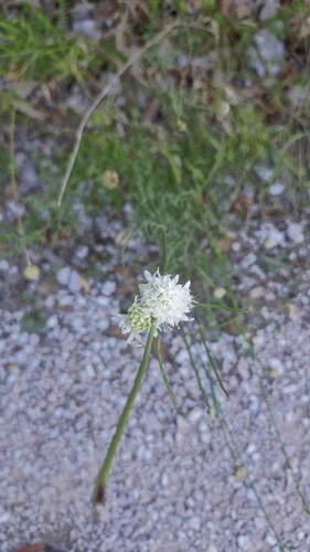
Research-grade observations from iNaturalist (within ~15 mi).
Events
Gallery
Official Identifiers
ISTAT — Italian National Institute of Statistics
- ISTAT code
- 054016
- Province
- Perugia (PG)
- Region
- Umbria
- NUTS3 (2024)
- ITI21
- Codice catastale
- D108
Elenco comuni italiani (CC BY 3.0 IT)
Sources
- • Wikipedia
- • Wikidata
- • iNaturalist
- • Open-Meteo / sunrise-sunset.org
- • Wikipedia Pageviews API
- • ISTAT — Italian national statistics (Elenco comuni italiani), via istat.it (official ISTAT code, province, region, NUTS3, codice catastale)
- • ISTAT — Italian National Institute of Statistics — Elenco comuni italiani (CC BY 3.0 IT)