Browse / Italy / Lazio / Grottaferrata
Grottaferrata
Laziotown

Grottaferrata
Total population
20,327
Demographic figures from ISTAT. Overview below cites Wikipedia and may reference a different year.
City facts
Sister cities
Facts from Wikidata (CC0).
Overview
Grottaferrata is a comune (municipality) in the Metropolitan City of Rome Capital, situated on the lower slopes of the Alban Hills, 20 kilometres southeast of Rome. It has grown up around the Abbey of Santa Maria di Grottaferrata, founded in 1004. Nearby communes include Frascati, Rocca di Papa, Marino and Rome.
Read more on WikipediaHistory & geography
History
The history of Grottaferrata identifies largely with that of the Basilian Monastery of Santa Maria, founded here in 1004 by Saint Nilus the Younger. The founding legend narrates that, at the spot where the abbey now stands, the Virgin Mary appeared and bade him found a church in her honour. From Gregory, the powerful Count of Tusculum, father of Popes Benedict VIII and John XIX, Nilus obtained the site, which had been a Roman villa, where among the ruins there remained a low edifice of opus quadratum that had been a tomb but had been converted to a Christian oratory in the fourth century. Its iron window grates gave the site the name, first of Cryptaferrata ("ironbound crypt") then of Grottaferrata, commemorated in the coat-of-arms of the commune. From the site, a Roman bronze of a man and a cow attracted the antiquarian attention of Frederick II, Holy Roman Emperor, who had the group removed to Lucera. Nilus died soon afterwards (26 December 1005) in the Sant' Agata monastery in Tusculum. The monastic building was carried out by his successors, especially the fourth abbot, Saint Bartholomew, who is usually considered the second founder. Building materials scavenged from the ruined villa were incorporated into the new structure, marble columns, sections of carved cornice, and blocks of the volcanic stone called peperino. The sanctuary was complete enough in 1024 to be consecrated by the Tusculan Pope John XIX. It was dedicated to the Madonna on 17 December 1024.
Excerpted from the corresponding Wikipedia article (CC BY-SA).
Geography
Coordinates & boundaries from the US Census TIGER/Line shapefiles.
Climate
Air quality
Walkability
Amenities nearby
Wildlife & biodiversity
Earthquake history
Photos
Sights & places nearby
Notable people from here
Nearby places in Lazio
- Marino1.4 mi away · pop. 43,026
- Valle Copella2.3 mi away
- Centroni2.6 mi away
- Vermicino2.8 mi away · pop. 4,402
- Rocca di Papa2.9 mi away · pop. 17,034
- Monte Porzio Catone3.2 mi away · pop. 8,693
- Poggio delle Mole3.3 mi away
- Ciampino3.5 mi away · pop. 38,412
- Ponte Linari3.8 mi away
- Casal Morena3.9 mi away
- Monte Gentile4 mi away
- Albano Laziale4.1 mi away · pop. 41,715
Geography & sun
Elevation, sunrise/sunset and daylight from Open-Meteo. Solar climatology from NASA POWER.
Nearby airports
Public attention
Pageview totals from the Wikimedia Pageviews API.
Books about Grottaferrata
Search results from Open Library.
Recent natural events nearby
Ground air-quality sensors
Recently spotted species
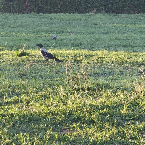

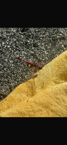
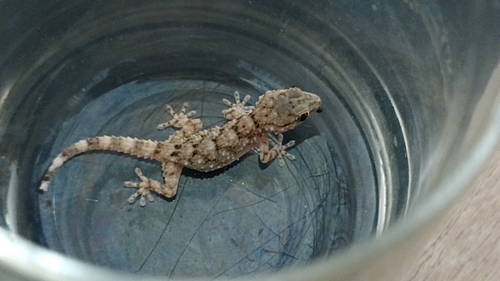

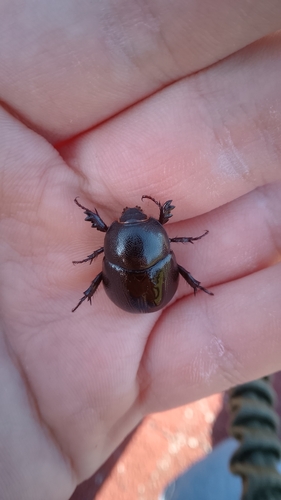
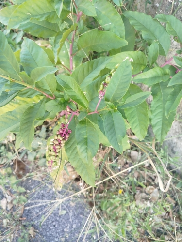
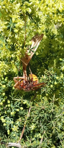
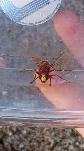
Research-grade observations from iNaturalist (within ~15 mi).
Events
Gallery
Official Identifiers
ISTAT — Italian National Institute of Statistics
- ISTAT code
- 058046
- Province
- Roma (RM)
- Region
- Lazio
- NUTS3 (2024)
- ITI43
- Codice catastale
- E204
Elenco comuni italiani (CC BY 3.0 IT)
Sources
- • Wikipedia
- • Wikidata
- • iNaturalist
- • Open-Meteo / sunrise-sunset.org
- • Wikipedia Pageviews API
- • Open Library
- • ISTAT — Italian national statistics (Elenco comuni italiani), via istat.it (official ISTAT code, province, region, NUTS3, codice catastale)
- • ISTAT — Italian National Institute of Statistics — Elenco comuni italiani (CC BY 3.0 IT)