Browse / Italy / Lazio / Mentana
Mentana
Laziotown

Mentana
Total population
22,921
Demographic figures from ISTAT. Overview below cites Wikipedia and may reference a different year.
City facts
Facts from Wikidata (CC0).
Overview
Mentana is a town and comune, former bishopric and present Latin Catholic titular see in the Metropolitan City of Rome, Lazio, central Italy. It is located 29 kilometres (18 mi) north-east of Rome and has a population of about 23,000.
Read more on WikipediaHistory & geography
History
Mentana is a town located in the region of Lazio in central Italy. The town's name in ancient times was Nomentum, to which the Via Nomentana led from Rome. According to Livy, the town was part of the Latin League, which went to war with Rome during the reign of Rome's king Lucius Tarquinius Priscus. Nomentum was one of a number of towns captured by Tarquinius. It was a Latin town, but was considered by some to be Sabine, and, like Fidenae and Ficulea, was excluded from the first region by Augustus, who made the Anio river its northern boundary. The city was part of the League defeated by Rome in the Battle of Lake Regillus, and was captured definitively in 338 BC. Subsequently, Nomentum received the status of civitas sine suffragio, and in its municipal constitution the chief magistrate bore the title of dictator, even in imperial times. Pliny and Martial often praised the fertility of its neighbourhood. This property contained a villa and vineyards, probably acquired just before his withdrawal from politics. In 741, it was briefly occupied by the Lombards, and the inhabitants moved to a new centre on the Via Nomentana, which was more easily defendable. On 23 November 799, it was the site of the meeting of Pope Leo III and Charlemagne. The Castle of Nomentum was a possession of the Roman family of the Crescenzi in the 10th and 11th century. In 1058 it was destroyed by the Normans, and the population was drastically reduced. The castle was acquired by the Capocci family, and later the Holy See entrusted it to the Benedictine monks of San Paolo fuori le Mura. In the 15th century, it was under the control of the Orsini family. In 1484, it was damaged by an earthquake. In 1594, it became a fief of the Perett family, first under Michele Perett of Venafro, and then in…
Excerpted from the corresponding Wikipedia article (CC BY-SA).
Geography
Coordinates & boundaries from the US Census TIGER/Line shapefiles.
Climate
Air quality
Walkability
Amenities nearby
Wildlife & biodiversity
Most-observed species
- Yellow-legged GullLarus michahellis J.F.Naumann, 1840 · Aves7,230
- Hooded CrowCorvus cornix Linnaeus, 1758 · Aves7,134
- Rose-ringed ParakeetPsittacula krameri (Scopoli, 1769) · Aves5,370
- Rock PigeonColumba livia J.F.Gmelin, 1789 · Aves5,031
- Italian SparrowPasser italiae (Vieillot, 1817) · Aves4,087
- Eurasian BlackbirdTurdus merula Linnaeus, 1758 · Aves3,169
- Monk ParakeetMyiopsitta monachus (Boddaert, 1783) · Aves2,497
- European StarlingSturnus vulgaris Linnaeus, 1758 · Aves2,007
Citizen-science & research observations from the Global Biodiversity Information Facility (GBIF).
Earthquake history
Most recent
- M 4.2 — 2025-09-204 km SSE of San Terenziano, Italy
- M 2.7 — 2025-05-081 km NNE of Montecompatri, Italy
- M 3.2 — 2025-03-043 km S of Bevagna, Italy
- M 3.1 — 2020-05-117 km NNW of Rome, Italy
- M 4.6 — 2019-11-072 km SW of Villavallelonga, Italy
- M 4.1 — 2019-09-011 km N of Norcia, Italy
Events from the USGS Earthquake Catalog (global) (FDSN Event Web Service).
Photos
Sights & places nearby
Notable people from here


People born within ~10 km, from Wikidata (CC0). Click any name for their Wikipedia article.
Nearby places in Lazio
- Monterotondo1.7 mi away · pop. 40,830
- Pichini3.1 mi away · pop. 557
- Sant'Angelo Romano3.6 mi away · pop. 5,018
- Guidonia5 mi away · pop. 15,673
- Montecelio5.3 mi away · pop. 2,921
- Setteville6.3 mi away
- Casal Monastero6.5 mi away · pop. 502
- Settebagni6.5 mi away
- Albuccione6.6 mi away
- Settecamini6.6 mi away
- Palombara Sabina6.7 mi away · pop. 13,269
- Tivoli Terme6.8 mi away
Geography & sun
Elevation, sunrise/sunset and daylight from Open-Meteo. Solar climatology from NASA POWER.
Nearby airports
Public attention
Pageview totals from the Wikimedia Pageviews API.
Books about Mentana
Search results from Open Library.
Recent natural events nearby
Ground air-quality sensors
Recently spotted species
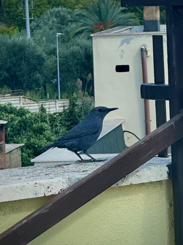
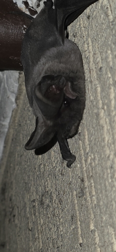
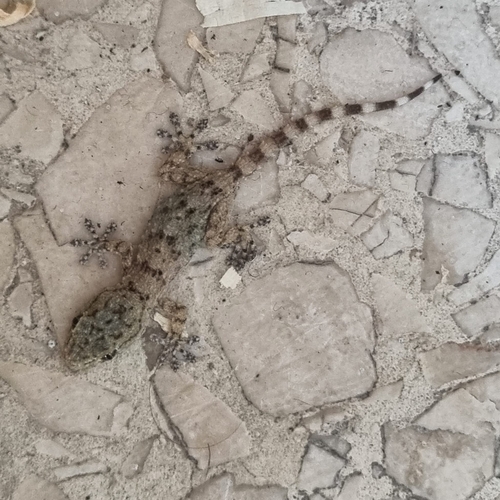
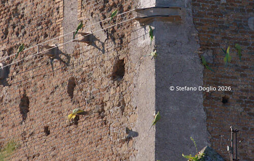
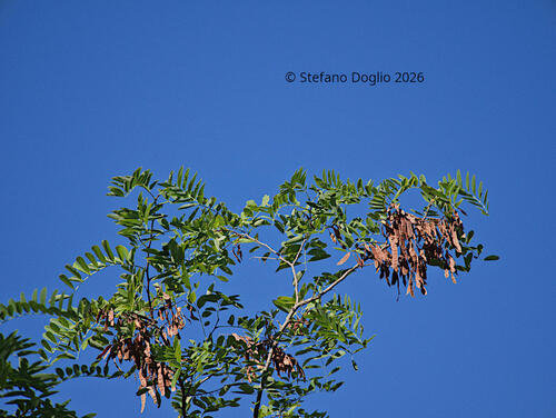
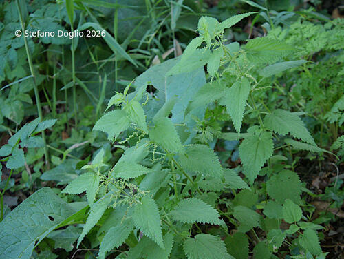
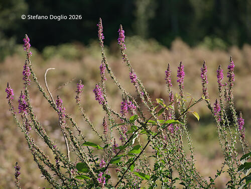
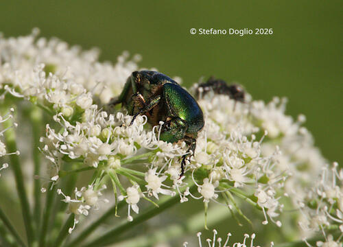
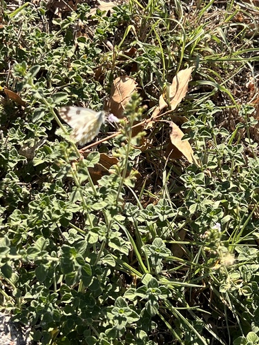
Research-grade observations from iNaturalist (within ~15 mi).
Events
Notable, recurring, and historical events associated with Mentana, sourced from Wikidata.
- Oct 5, 2019
Source: Wikidata (CC0).
Gallery
Official Identifiers
ISTAT — Italian National Institute of Statistics
- ISTAT code
- 058059
- Province
- Roma (RM)
- Region
- Lazio
- NUTS3 (2024)
- ITI43
- Codice catastale
- F127
Elenco comuni italiani (CC BY 3.0 IT)
Sources
- • Wikipedia
- • Wikidata
- • USGS Earthquake Catalog (global feed)
- • GBIF (Global Biodiversity Information Facility)
- • iNaturalist
- • Open-Meteo / sunrise-sunset.org
- • Wikipedia Pageviews API
- • Open Library
- • ISTAT — Italian national statistics (Elenco comuni italiani), via istat.it (official ISTAT code, province, region, NUTS3, codice catastale)
- • ISTAT — Italian National Institute of Statistics — Elenco comuni italiani (CC BY 3.0 IT)