Browse / Italy / Umbria / Montecchio
Montecchio
Umbriavillage

Montecchio
Total population
671
Demographic figures from ISTAT. Overview below cites Wikipedia and may reference a different year.
City facts
Sister cities
Facts from Wikidata (CC0).
Overview
Montecchio is a comune (municipality) in the Province of Terni in the Italian region Umbria, located about 50 km south of Perugia and about 30 km northwest of Terni.
Read more on WikipediaHistory & geography
History
The area of Montecchio was already inhabited in prehistoric times, as evidenced by a pre-Roman necropolis in the San Lorenzo valley. The settlement is first mentioned in written sources in 1154. Around 1165 the original castle nucleus was built by the Chiaravalle family. The castle was originally built as a place of exile during factional conflicts in Todi, when the Guelphs expelled the Ghibellines from the city. The settlement remained historically part of the territory of Todi. By 1190 a second defensive wall had been constructed, reflecting a growth in population, and in the mid-13th century the fortifications were further expanded. During the medieval period Montecchio was ruled successively by the Chiaravalle, , and Colonna families. In the 16th century it came under the control of the Atti family of Todi, and in 1607 authority passed to the Corsini family. In the second half of the 16th century local statutes were established. Following the Papal Restoration in 1814, Montecchio was administratively aligned with the nearby settlement of Baschi. In 1817 it was classified as a dependent district of Baschi. In the 1850s Montecchio had a population of 738 inhabitants, of whom 601 lived in the town and 137 in the surrounding countryside. In 1948 Montecchio was separated from Baschi and became an independent municipality.
Geography
Montecchio is located about from Baschi. Montecchio borders the following municipalities: Avigliano Umbro, Baschi, Civitella d'Agliano, Guardea, Orvieto, Todi. The municipality includes the localities of Fratta, Le Case, Melezzole, Monastero, Montecchio, Pantanelli, Pozzociolino, Pranzuto, Prato Giardino, San Martino, San Rocco, Schiasciarelle, Tenaglie. In 2021, 367 people lived in rural dispersed dwellings not assigned to any named locality. At the time, most of the population lived in Montecchio proper (671), and Melezzole (159).
Excerpted from the corresponding Wikipedia article (CC BY-SA).
Geography
Coordinates & boundaries from the US Census TIGER/Line shapefiles.
Climate
Air quality
Walkability
Amenities nearby
Wildlife & biodiversity
Earthquake history
Photos
Sights & places nearby
Notable people from here
Nearby places in Umbria
- Guardea2.8 mi away · pop. 1,138
- Civitella del Lago3.4 mi away · pop. 365
- Alviano Scalo5.2 mi away · pop. 336
- Castel dell'Aquila6.3 mi away · pop. 479
- Lugnano in Teverina6.6 mi away · pop. 922
- Avigliano Umbro7.1 mi away · pop. 1,407
- Colonnetta di Prodo7.8 mi away · pop. 220
- Canale Nuovo8 mi away · pop. 564
- Ciconia9 mi away · pop. 4,349
- Porano9.5 mi away · pop. 1,570
- Todi10.2 mi away · pop. 5,159
- Attigliano10.3 mi away · pop. 1,844
Geography & sun
Elevation, sunrise/sunset and daylight from Open-Meteo. Solar climatology from NASA POWER.
Nearby airports
Public attention
Pageview totals from the Wikimedia Pageviews API.
Books about this place
Recent natural events nearby
Ground air-quality sensors
Recently spotted species
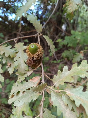
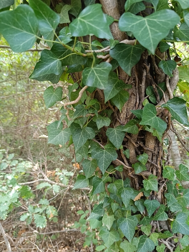
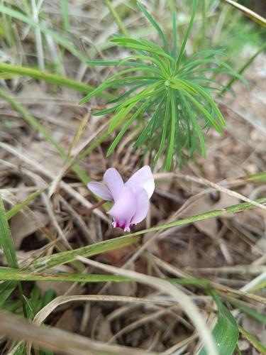
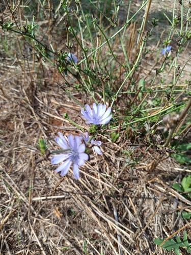
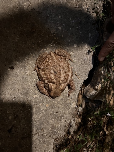
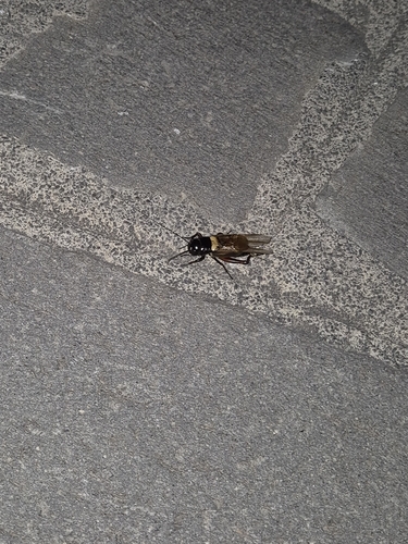
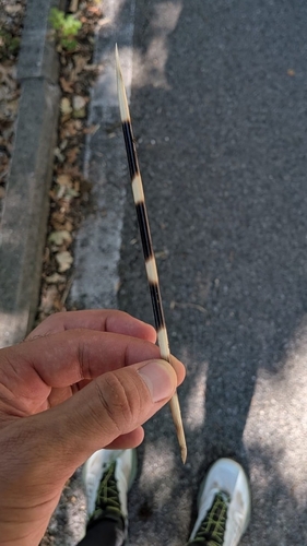
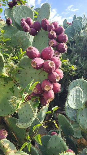
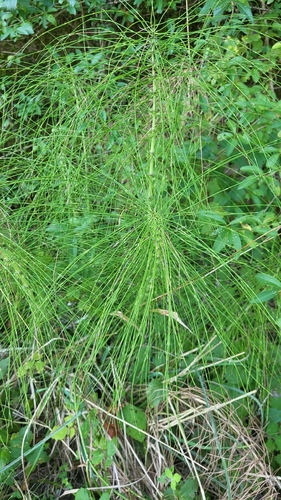
Research-grade observations from iNaturalist (within ~15 mi).
Events
Gallery
Official Identifiers
ISTAT — Italian National Institute of Statistics
- ISTAT code
- 055018
- Province
- Terni (TR)
- Region
- Umbria
- NUTS3 (2024)
- ITI22
- Codice catastale
- F462
Elenco comuni italiani (CC BY 3.0 IT)
Sources
- • Wikipedia
- • Wikidata
- • iNaturalist
- • Open-Meteo / sunrise-sunset.org
- • Wikipedia Pageviews API
- • ISTAT — Italian national statistics (Elenco comuni italiani), via istat.it (official ISTAT code, province, region, NUTS3, codice catastale)
- • ISTAT — Italian National Institute of Statistics — Elenco comuni italiani (CC BY 3.0 IT)