Browse / Italy / Umbria / Montefalco
Montefalco
Umbriavillage

Montefalco
Total population
1,258
Demographic figures from ISTAT. Overview below cites Wikipedia and may reference a different year.
City facts
Sister cities
Facts from Wikidata (CC0).
Overview
Montefalco is a historic small hill town in Umbria, Italy. It is one of I Borghi più belli d'Italia.
Read more on WikipediaHistory & geography
History
Adone Palmieri states that Montefalco was formerly called Falisco Umbro, or Falliene, and that it was a Roman municipium. He adds that it was destroyed in Sulla's civil war and later rebuilt, being known as Curcurione or Coccorano until 1249; after that it took the name Montefalco. He places the earlier settlement about from the present town. By 1240 the community had acknowledged imperial authority. Institutional structures associated with communal government are documented from the early 13th century, when the office of podestà was already in place. In 1270 the people's palace was built.
Geography
Montefalco lies to the northwest of Spoleto, in an area of hills and plains on the left side of the and south of Bevagna. Montefalco stands on the summit of a hill, with the Topino and the Maroggia running at its foot. Its horizon was described in the 19th century as so attractive that the town was called "the balcony of Umbria". In the surrounding countryside, the land rises in gentle slopes up to the city walls and is particularly rich in olive groves and orchards. The municipality includes the localities of Argentella, Belvedere, Borghetto, Camiano Grande, Camiano Piccolo, Casale, Cerrete, Colle Arfuso, Colle San Clemente, Cortignano, Fabbri, Fratta, Il Piano, Lasignano, Mercatello, Montefalco, Montepennino, Pietrauta, Poggetto, Rignano, San Luca, Turri, Turrita, Valle Cupa, Vecciano, Vigliano. In 2021, 1,869 people lived in rural dispersed dwellings not assigned to any named locality. At the time, most of the population lived in Montefalco proper (1,258). The following localities had no recorded permanent residents: Convento San Fortunato, Gallo, Madonna della Stella.
Excerpted from the corresponding Wikipedia article (CC BY-SA).
Geography
Coordinates & boundaries from the US Census TIGER/Line shapefiles.
Climate
Air quality
Walkability
Amenities nearby
Wildlife & biodiversity
Earthquake history
Photos
Sights & places nearby
Notable people from here


People born within ~10 km, from Wikidata (CC0). Click any name for their Wikipedia article.
Nearby places in Umbria
- Scafali3.1 mi away
- Bevagna3.6 mi away · pop. 2,651
- Cannaiola3.7 mi away · pop. 805
- Corvia3.8 mi away
- Borroni3.9 mi away
- Maceratola4.1 mi away · pop. 718
- Fiamenga4.4 mi away · pop. 473
- Santa Maria in Valle4.8 mi away · pop. 619
- Bastardo4.8 mi away · pop. 2,100
- Castel Ritaldi4.9 mi away · pop. 543
- Gualdo Cattaneo4.9 mi away · pop. 361
- Trevi5 mi away · pop. 4,702
Geography & sun
Nearby airports
Public attention
Books about this place
Recent natural events nearby
Ground air-quality sensors
Recently spotted species
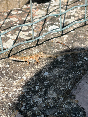
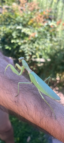
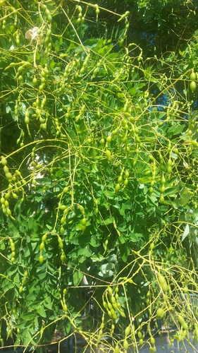
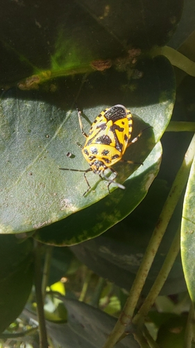
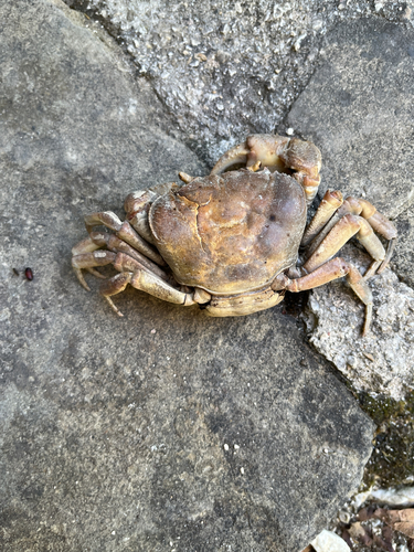
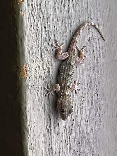
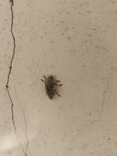
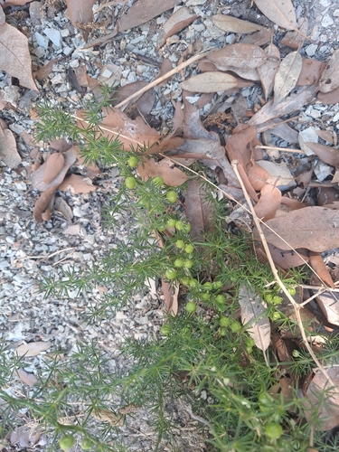
Research-grade observations from iNaturalist (within ~15 mi).
Events
Gallery
Official Identifiers
ISTAT — Italian National Institute of Statistics
- ISTAT code
- 054030
- Province
- Perugia (PG)
- Region
- Umbria
- NUTS3 (2024)
- ITI21
- Codice catastale
- F492
Elenco comuni italiani (CC BY 3.0 IT)
Sources
- • Wikipedia
- • Wikidata
- • iNaturalist
- • ISTAT — Italian national statistics (Elenco comuni italiani), via istat.it (official ISTAT code, province, region, NUTS3, codice catastale)
- • ISTAT — Italian National Institute of Statistics — Elenco comuni italiani (CC BY 3.0 IT)