Browse / Italy / Umbria / Narni
Narni
Umbriatown

Narni
Total population
4,505
Demographic figures from ISTAT. Overview below cites Wikipedia and may reference a different year.
City facts
Facts from Wikidata (CC0).
Overview
Narni is an ancient hilltown and comune (municipality) of Umbria, in central Italy. At an altitude of 240 metres (790 ft), it overhangs a narrow gorge of the River Nera in the province of Terni. It is very close to the geographical centre of Italy. There is a stone on the exact spot with a sign in multiple languages.
Read more on WikipediaHistory & geography
History
Narni was an important Umbrian city. In 300 BC it was besieged by the consul ; the inhabitants resisted vigorously, and the siege continued into the following year, when the city was taken by the consul Marcus Fulvius, who celebrated a triumph over the Samnites and the people of Nequinum. The Roman Senate secured the conquest by establishing a colony there, named Narnia from the nearby Nera river. In the Republican period Narni appears as a flourishing municipium and one of the principal centers of Umbria, its prosperity attributed to its position on the Via Flaminia and to the fertility of the surrounding countryside, especially the . It belonged to the Papiria tribe. Its commanding position over the Via Flaminia also gave it importance during the wars of Belisarius and Narses against the Goths. Saint Cassius, who also held the episcopate of Terni, was a distinguished bishop; during his time Totila devastated and plundered Narni. He was regarded as a man of great intellect and deep religiosity, and was adopted as advocate and patron of the city. During the late 9th to early 10th century, Narni was, along with much of central Italy, threatened by the Saracens. In 958 Narni formed a Lombard gastaldate. By 1143 Narni had become a self-governing municipality with its own statutes. Conrad offered homage and tribute for certain Church lands he held, but, having been refused by Pope Innocent III, he was compelled to restore them and swore obedience at Narni in the presence of the papal legate, the barons, and the people. The pope confirmed the privileges of the cities thus restored. Narni alone required military intervention; the conflict ended with the restitution of the fortresses, a levy for the walls, a fine, and renewed submission to Innocent III. Conrad was then…
Geography
Narni stands on the left bank of the Nera, about from its confluence with the Tiber. It rises above sea level on a hill whose slopes descend toward the valley, the town itself standing above the valley floor and near high mountains. The surrounding landscape includes wooded areas and the fertile watered by the Nera. The Via Flaminia passes through the city and, outside it, is cut into the living rock. The road was formerly very steep but has been made more gradual in more recent times. In 2021, 3,921 people lived in rural dispersed dwellings not assigned to any named locality. At the time, the most populous localities was Narni Scalo (4,672), followed by Narni proper (4,505). The following localities had no recorded permanent residents: Convento Lo Speco.
Excerpted from the corresponding Wikipedia article (CC BY-SA).
Geography
Coordinates & boundaries from the US Census TIGER/Line shapefiles.
Climate
Air quality
Walkability
Amenities nearby
Wildlife & biodiversity
Earthquake history
Photos
Sights & places nearby
Notable people from here
Nearby places in Umbria
- Narni Scalo1.1 mi away · pop. 4,672
- Testaccio1.6 mi away · pop. 510
- Taizzano1.9 mi away · pop. 392
- Nera Montoro2.6 mi away · pop. 321
- Ponte San Lorenzo3.4 mi away · pop. 697
- Vigne3.7 mi away · pop. 268
- San Liberato4.7 mi away · pop. 472
- Poggio5.8 mi away · pop. 401
- San Gemini6.6 mi away · pop. 3,239
- Otricoli6.9 mi away · pop. 884
- Termine7.1 mi away · pop. 303
- Terni7.1 mi away · pop. 95,640
Geography & sun
Elevation, sunrise/sunset and daylight from Open-Meteo. Solar climatology from NASA POWER.
Nearby airports
Public attention
Pageview totals from the Wikimedia Pageviews API.
Books about Narni

Search results from Open Library.
Recent natural events nearby
Ground air-quality sensors
Recently spotted species
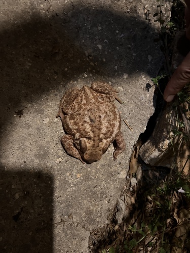
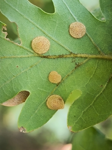
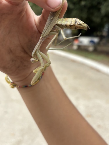
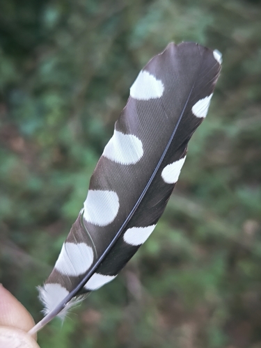

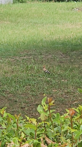
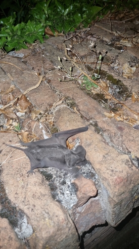
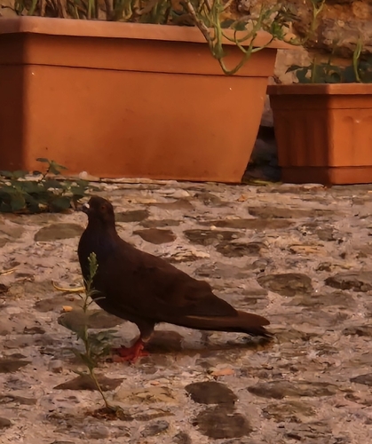
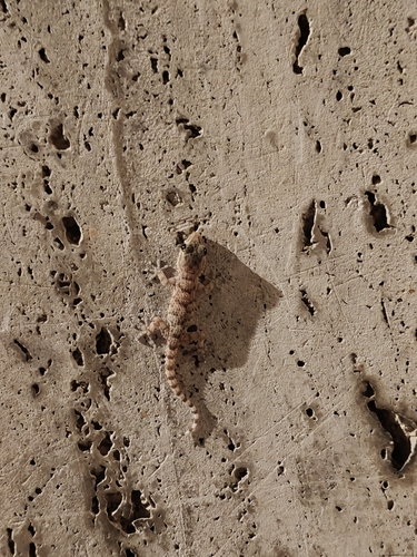
Research-grade observations from iNaturalist (within ~15 mi).
Events
Gallery
Official Identifiers
ISTAT — Italian National Institute of Statistics
- ISTAT code
- 055022
- Province
- Terni (TR)
- Region
- Umbria
- NUTS3 (2024)
- ITI22
- Codice catastale
- F844
Elenco comuni italiani (CC BY 3.0 IT)
Sources
- • Wikipedia
- • Wikidata
- • iNaturalist
- • Open-Meteo / sunrise-sunset.org
- • Wikipedia Pageviews API
- • Open Library
- • ISTAT — Italian national statistics (Elenco comuni italiani), via istat.it (official ISTAT code, province, region, NUTS3, codice catastale)
- • ISTAT — Italian National Institute of Statistics — Elenco comuni italiani (CC BY 3.0 IT)