Browse / Italy / Umbria / San Gemini
San Gemini
Umbriavillage

San Gemini
Total population
3,239
Demographic figures from ISTAT. Overview below cites Wikipedia and may reference a different year.
City facts
Facts from Wikidata (CC0).
Overview
San Gemini is a comune (municipality) of in the province of Terni in the Italian region Umbria, located about 60 km south of Perugia and about 10 km northwest of Terni.
Read more on WikipediaHistory & geography
History
San Gemini is traditionally connected with the ancient Umbrian city of Carsulae, a municipium of some importance in the Roman period, located along the Via Flaminia. In 1014 San Gemini passed under the dominion of the Church as part of the territories known as the Terre Arnolfe, transferred through territorial exchanges agreed between Emperor Henry II and Pope Benedict VIII. Municipal statutes were adopted in the early 14th century. Control returned to the Church in 1330, while throughout the 14th century the town faced repeated threats from neighboring centers and was defended by papal troops. During the 19th century San Gemini underwent several administrative changes. It was elevated to a baronial municipality in 1814, placed within the district government of Terni in 1816, and in 1817 became the seat of a local governor, with Portaria as a dependent settlement. It became a podesteria under Terni in 1827, and by 1833 functioned as a municipality under the governor of Terni. In the mid-19th century the municipality had a population of 1,899 inhabitants. Of these, about 700 resided in the town and 1,199 in rural dwellings.
Geography
San Gemini lies at an elevation of above sea level, in a hilly region about north-west of Terni. In 2021, 924 people lived in rural dispersed dwellings not assigned to any named locality. At the time, most of the population lived in San Gemini proper (3,239), and Acqua Vogliera (489).
Excerpted from the corresponding Wikipedia article (CC BY-SA).
Geography
Coordinates & boundaries from the US Census TIGER/Line shapefiles.
Climate
Air quality
Walkability
Amenities nearby
Wildlife & biodiversity
Earthquake history
Photos
Sights & places nearby
Notable people from here
Nearby places in Umbria
- Cesi2.1 mi away · pop. 524
- Casteltodino3.9 mi away · pop. 1,023
- Montecastrilli4 mi away · pop. 1,223
- Acquasparta5.4 mi away · pop. 2,907
- Ponte San Lorenzo5.6 mi away · pop. 697
- Terni5.8 mi away · pop. 95,640
- Narni6.6 mi away · pop. 4,505
- Avigliano Umbro6.8 mi away · pop. 1,407
- Castel dell'Aquila7.3 mi away · pop. 479
- Testaccio8.1 mi away · pop. 510
- Taizzano8.5 mi away · pop. 392
- Nera Montoro8.7 mi away · pop. 321
Geography & sun
Elevation, sunrise/sunset and daylight from Open-Meteo. Solar climatology from NASA POWER.
Nearby airports
Public attention
Pageview totals from the Wikimedia Pageviews API.
Books about San Gemini
Search results from Open Library.
Recent natural events nearby
Ground air-quality sensors
Recently spotted species
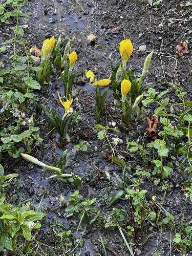





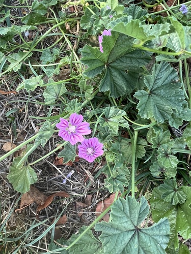
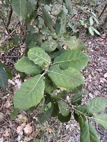
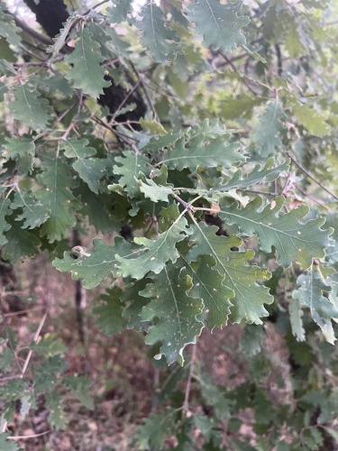
Research-grade observations from iNaturalist (within ~15 mi).
Events
Gallery
Official Identifiers
ISTAT — Italian National Institute of Statistics
- ISTAT code
- 055029
- Province
- Terni (TR)
- Region
- Umbria
- NUTS3 (2024)
- ITI22
- Codice catastale
- H857
Elenco comuni italiani (CC BY 3.0 IT)
Sources
- • Wikipedia
- • Wikidata
- • iNaturalist
- • Open-Meteo / sunrise-sunset.org
- • Wikipedia Pageviews API
- • Open Library
- • ISTAT — Italian national statistics (Elenco comuni italiani), via istat.it (official ISTAT code, province, region, NUTS3, codice catastale)
- • ISTAT — Italian National Institute of Statistics — Elenco comuni italiani (CC BY 3.0 IT)