Browse / Italy / Abruzzo / Roseto degli Abruzzi
Roseto degli Abruzzi
Abruzzotown

Roseto degli Abruzzi
Total population
25,501
Demographic figures from ISTAT. Overview below cites Wikipedia and may reference a different year.
City facts
Sister cities
Facts from Wikidata (CC0).
Overview
Roseto degli Abruzzi, more commonly Roseto, is a town and comune of the province of Teramo in the Abruzzo region of central Italy. It is a beach resort on the Adriatic Sea and has about 24,000 inhabitants. Geographically, Roseto is positioned on estuaries of the Vomano and Tordino Rivers. It is the second largest city in the province. In the last decade the city has witnessed a good deal of growth in the quarters of Borsacchio slightly to the north, Campo a Mare along the seacoast and Voltarrosto to the west.
Read more on WikipediaHistory & geography
History
The name of the city was decreed to be Rosburgo by decree of King Umberto I of Italy in 1877. Later the name fell into disfavor, especially in military circles, because it sounded Austrian, a bitter enemy of Italy during World War I, and in 1927 the city was rechristened with its current name. The name derives in part from the large numbers and varieties of rose and oleander trees which grace the byways and balconies of the city's residents. Tourism is the main economic activity in terms of revenue generated. Roseto's coastline, including an area known as Cologna, has more than of beaches available for swimming and other water activities. After the end of World War Two - September to December 1945 - units of the Polish II Corps were stationed in and around Roseto while they awaited news on their post-war future and the town was the venue of music concerts, sports fixtures and church services for the now displaced Polish forces.
Geography
A major north–south rail line running along the coast passes through Roseto connecting it to the provincial capitals of Pescara and Teramo. Towns nearby include Atri, Giulianova, Morro d'Oro, Mosciano Sant'Angelo, Notaresco and Pineto. Roseto is a popular and highly developed seaside location known throughout Italy and the world. It is sometimes referred to as Lido delle Rose (Beach of the Roses). More recently it has been associated with the "Bandiera Blu" (The Blue Banner).
Excerpted from the corresponding Wikipedia article (CC BY-SA).
Geography
Coordinates & boundaries from the US Census TIGER/Line shapefiles.
Climate
Air quality
Walkability
Amenities nearby
Wildlife & biodiversity
Earthquake history
Photos
Sights & places nearby
Notable people from here
Nearby places in Abruzzo
- Scerne2.4 mi away · pop. 1,982
- Morro d'Oro4.9 mi away · pop. 3,317
- Colleranesco4.9 mi away · pop. 1,096
- Giulianova5.8 mi away · pop. 24,050
- Pianura Vomano6.2 mi away · pop. 1,298
- Atri7 mi away · pop. 10,772
- Montone7.9 mi away
- Silvi8.7 mi away
- Salino9.1 mi away
- Castelnuovo Vomano9.1 mi away · pop. 3,291
- Villa San Romualdo9.4 mi away · pop. 259
- Tortoreto Lido9.5 mi away
Geography & sun
Elevation, sunrise/sunset and daylight from Open-Meteo. Solar climatology from NASA POWER.
Nearby airports
Public attention
Pageview totals from the Wikimedia Pageviews API.
Books about this place
Recent natural events nearby
Ground air-quality sensors
Recently spotted species
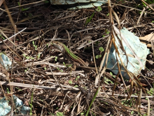
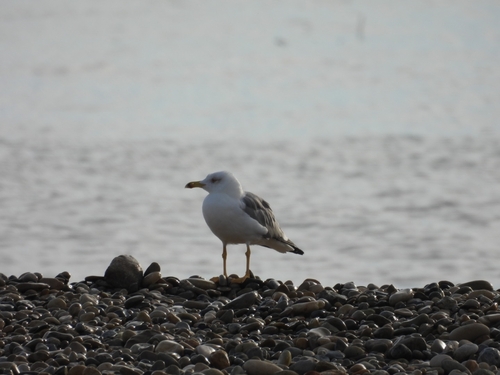
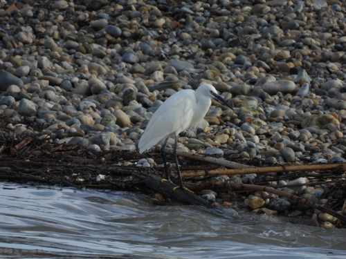
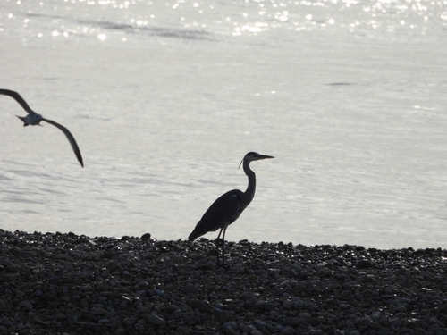
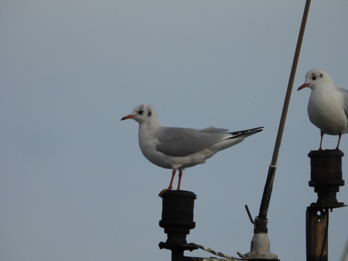
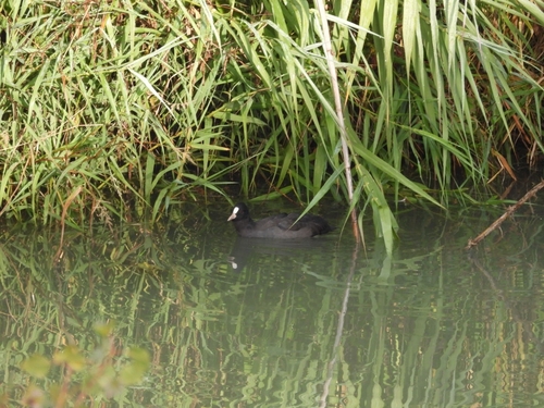
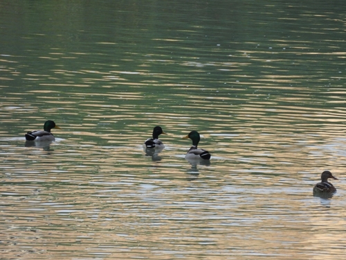
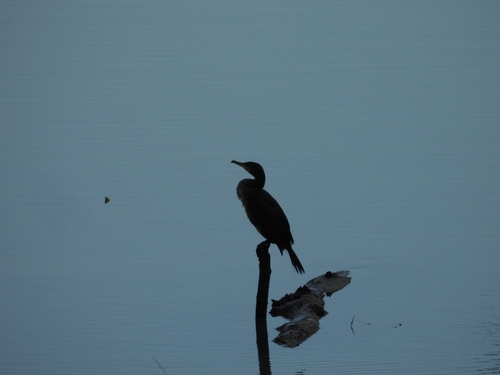
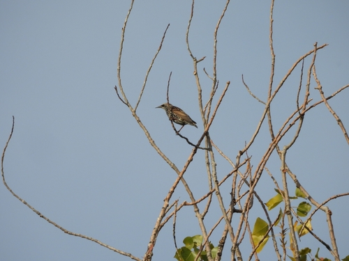
Research-grade observations from iNaturalist (within ~15 mi).
Events
Gallery
Official Identifiers
ISTAT — Italian National Institute of Statistics
- ISTAT code
- 067037
- Province
- Teramo (TE)
- Region
- Abruzzo
- NUTS3 (2024)
- ITF12
- Codice catastale
- F585
Elenco comuni italiani (CC BY 3.0 IT)
Sources
- • Wikipedia
- • Wikidata
- • iNaturalist
- • Open-Meteo / sunrise-sunset.org
- • Wikipedia Pageviews API
- • ISTAT — Italian national statistics (Elenco comuni italiani), via istat.it (official ISTAT code, province, region, NUTS3, codice catastale)
- • ISTAT — Italian National Institute of Statistics — Elenco comuni italiani (CC BY 3.0 IT)