Browse / Jamaica / Saint Elizabeth / Southfield
Southfield
Saint Elizabethvillage
Demographic figures from Statistical Institute of Jamaica. Overview below cites Wikipedia and may reference a different year.
City facts
Facts from Wikidata (CC0).
Overview
Southfield is a farming town on the southern ridge of the Santa Cruz Mountains in St Elizabeth, Jamaica.
Read more on WikipediaHistory & geography
History
Southfield was originally the site of a plantation. This, together with its Great House was well established by 1796 when Andrew Bromfield was listed as the proprietor with 80 African slaves. By 1922 this had been renamed Southfield Pen. In 1995, the Great House featured in a program shown on Jamaican National Television. In 2018, the village turned into a town and Southfield Town has 4,370 people live in 1,120 Households.
Excerpted from the corresponding Wikipedia article (CC BY-SA).
Geography
Coordinates & boundaries from the US Census TIGER/Line shapefiles.
Climate
Air quality
Walkability
Amenities nearby
Wildlife & biodiversity
Earthquake history
Photos
Sights & places nearby
Notable people from here
Nearby places in Saint Elizabeth
Geography & sun
Nearby airports
Public attention
Books about this place
Recent natural events nearby
Ground air-quality sensors
Recently spotted species
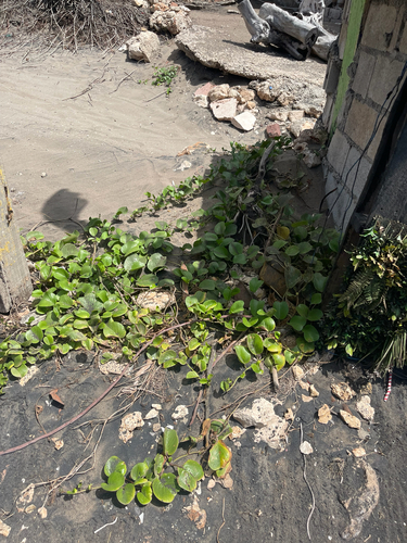
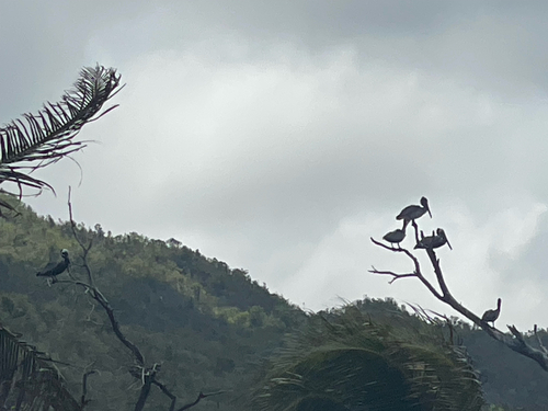
Research-grade observations from iNaturalist (within ~15 mi).
Events
Gallery
Sources
- • Wikipedia
- • Wikidata
- • iNaturalist
- • Wikidata SPARQL (CC0) — population, area, elevation, inception, head of government, Commons image