Browse / Norway / Rogaland / Haugesund
Haugesund
Rogalandcity

Haugesund
Total population
47,346
Demographic figures from Statistics Norway (SSB). Overview below cites Wikipedia and may reference a different year.
City facts
Facts from Wikidata (CC0).
Overview
Haugesund ( ) is a town in Haugesund Municipality in Rogaland county, Norway. The town is located along the Karmsundet strait on the southwest coast of Norway. The town lies about 60 kilometres (37 mi) north of the city of Stavanger and about 120 kilometres (75 mi) south of the city of Bergen.
Read more on WikipediaHistory & geography
History
Despite being a fairly young town, the areas surrounding Haugesund were lands of power during the Viking Age. Harald Fairhair was the first king of Norway. He had his home in Avaldsnes, also known as Homeland of the Viking Kings, only from the present town of Haugesund. After his death in , it is believed Fairhair was buried at Haraldshaugen, a burial mound adjacent to the Karmsundet strait. This site is the namesake of the town and municipality of Haugesund. The national monument at Haraldshaugen was raised in 1872, to commemorate the 1000th anniversary of the naval Battle of Hafrsfjord in 872. The Battle of Hafrsfjord has traditionally been regarded as when western Norway was unified under a single monarch for the first time. Haugesund has a strong historical bond to the sea and especially the herring. In the earlier years, the coastal waters of Haugesund were a huge source for fishing herring, and the town grew accordingly. The protective straits of Smedasund and Karmsund gave the town potential to grow in both fishing and shipping. Even to this day, Karmsund is one of Norway's busiest waterways. The town is still growing geographically even though the population has increased only moderately over the last decade. In modern times the herring stocks have been depleted and the town is turning towards the petroleum industry, like its neighbouring town to the south, Stavanger. The urban village area of Haugesund (population: 1,066) was declared to be a ladested in 1854. Due to this fact, the new town was separated from the surrounding Torvastad Municipality on 1 February 1855 to become a separate municipality. In 1866, Haugesund was designated as a kjøpstad, giving it full town status under the law. On 1 January 1911, the town was enlarged by annexing the small urban…
Geography
Haugesund is located along the North Sea coast, however, the island of Karmøy and the archipelago of Røvær shelter it from the rough waters of the ocean. The Karmsundet strait, located between Karmøy and Haugesund used to be very strategically important, since ships could pass without having to sail through heavy sea. There are several islands in the Karmsunet strait that are part of the town of Haugesund. The islands of Risøya and Hasseløya are densely built, and connected to the mainland of the town by bridges. Vibrandsøya and its neighboring islands are now mainly a recreational area. Haugesund's city centre has a distinctive street layout, similar to those found in Kristiansand and Oslo. Haugesund has an oceanic climate (Cfb, marine west coast) with rainy winters and mild and pleasant summers. The all-time high was recorded July 2019, and the all-time low was set in January 2010 (extremes since 2003). The wettest time of year is autumn and winter, while April–July is the driest season. Haugesund Airport is situated in Karmøy municipality, about from the town of Haugesund, and it has been recording weather data since 1975.
Excerpted from the corresponding Wikipedia article (CC BY-SA).
Geography
Coordinates & boundaries from the US Census TIGER/Line shapefiles.
Climate
Air quality
Walkability
Amenities nearby
Wildlife & biodiversity
Most-observed species
- Eurasian BlackbirdTurdus merula Linnaeus, 1758 · Aves5,160
- MallardAnas platyrhynchos Linnaeus, 1758 · Aves4,269
- Herring GullLarus argentatus Pontoppidan, 1763 · Aves3,798
- Gray/Purple HeronArdea cinerea Linnaeus, 1758 · Aves3,764
- European RobinErithacus rubecula (Linnaeus, 1758) · Aves3,657
- Great TitParus major Linnaeus, 1758 · Aves3,584
- Mew GullLarus canus Linnaeus, 1758 · Aves3,520
- European StarlingSturnus vulgaris Linnaeus, 1758 · Aves3,422
Citizen-science & research observations from the Global Biodiversity Information Facility (GBIF).
Earthquake history
Most recent
- M 3.6 — 2012-03-1413 km WSW of Ølen, Norway
- M 2.8 — 2008-08-2320 km WSW of Storebø, Norway
- M 3.2 — 2007-05-2531 km W of Rubbestadneset, Norway
- M 2.5 — 2007-02-08southern Norway
- M 2.6 — 2005-10-0652 km W of Rubbestadneset, Norway
- M 2.6 — 2005-07-288 km W of Rubbestadneset, Norway
Events from the USGS Earthquake Catalog (global) (FDSN Event Web Service).
Photos
Sights & places nearby
Notable people from here
Nearby places in Rogaland
Geography & sun
Elevation, sunrise/sunset and daylight from Open-Meteo. Solar climatology from NASA POWER.
Nearby airports
Public attention
Pageview totals from the Wikimedia Pageviews API.
Books about Haugesund
Search results from Open Library.
Recent natural events nearby
Ground air-quality sensors
Recently spotted species
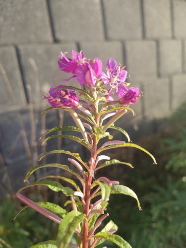
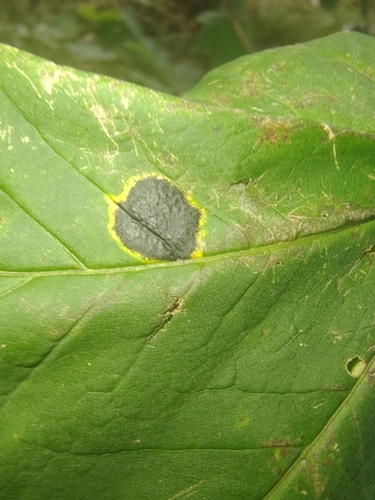
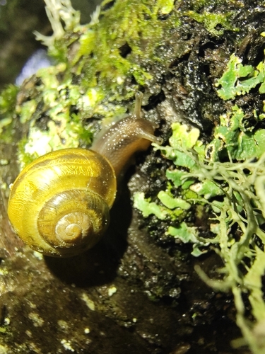
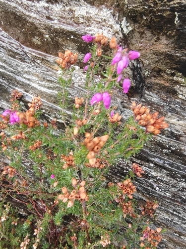
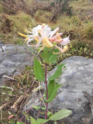
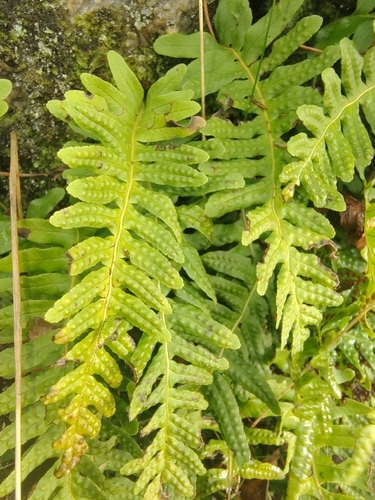
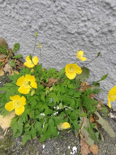
Research-grade observations from iNaturalist (within ~15 mi).
Events
Notable, recurring, and historical events associated with Haugesund, sourced from Wikidata.
Source: Wikidata (CC0).
Gallery
Official Identifiers
SSB — Statistics Norway
- Kommunenr
- 1106
- Population (Wikidata)
- 38,663
- Wikidata
- Q109036
Kommunenummer via Wikidata P2504
Sources
- • Wikipedia
- • Wikidata
- • USGS Earthquake Catalog (global feed)
- • GBIF (Global Biodiversity Information Facility)
- • iNaturalist
- • Open-Meteo / sunrise-sunset.org
- • Wikipedia Pageviews API
- • Open Library
- • Wikidata SPARQL (CC0) — population, area, elevation, inception, head of government, Commons image
- • SSB — Statistics Norway — Kommunenummer via Wikidata P2504