Browse / Finland / Pirkanmaa / Äetsä
Äetsä
Pirkanmaavillage

Featured view
Äetsä
Total population
2,156
Coordinates61.28°, 22.69°
Demographic figures from Statistics Finland. Overview below cites Wikipedia and may reference a different year.
Loading additional data from public sources…0 / 11
CensusWikipediaWeatherPlacesPeopleEnvironmentHealth & SchoolsRelatedGeography & CultureLive MonitoringEvents & Gallery
0% completeCity facts
Overview
Äetsä is a former municipality of southwestern Finland. The municipality was founded on 1981 when municipalities of Keikyä and Kiikka were consolidated to a single municipality.
History & geography
Geography
Latitude
61.2840
Longitude
22.6938
Water area
—
Coordinates & boundaries from the US Census TIGER/Line shapefiles.
Climate
Air quality
Walkability
Amenities nearby
Wildlife & biodiversity
Earthquake history
Photos
Sights & places nearby
Notable people from here

Eemi Tervaportti
Finnish volleyball player

Viljo Rantanen
Finnish guitarist
I
Immi Savonius
H
Hannes Torpo
Finnish shot putter (1901-1980)

Kaarlo Sarkia
Finnish poet
A
Antero Lähde
Finnish biathlete

Arvo Kartano
Finnish military officer (1895-1963)

Hanna Ekola
Finnish singer, songwriter and writer
S
Saara Suvanto
Finnish singer and songwriter (1959–1999)

Tuure Junnila
Finnish politician (1910–1999)
T
Timo Hirsimäki
Finnish ice hockey player
P
Pekka Vuori
Finnish artist
E
Eino Kulonen
Finnish physician and professor
W
Wilho Kyttä
Finnish judge (1881-1960)
J
Jakob Zidén
Finnish priest
E
Eero Tala
People born within ~10 km, from Wikidata (CC0). Click any name for their Wikipedia article.
Nearby places in Pirkanmaa
- Ruovesi66.3 mi away · pop. 4,208
- Pöytäniemi67.5 mi away
- Jørpeland591.8 mi away · pop. 7,815
- Jøssingfjord602.1 mi away
- Ålgård605 mi away · pop. 12,164
- Randaberg606.3 mi away · pop. 9,609
- Haugesund607.5 mi away · pop. 47,346
- Hestnes609.8 mi away
- Leidland610 mi away
- Bryne612.5 mi away · pop. 13,459
- Novo Zvečevo1107.4 mi away · pop. 30
- Gornji Vrhovci1111.8 mi away
Geography & sun
Avg solar (kWh/m²/day)
2.5
Annual solar (kWh/m²)
914
Elevation, sunrise/sunset and daylight from Open-Meteo. Solar climatology from NASA POWER.
Nearby airports
Public attention
Wikipedia views (last 30 days)
57
Avg daily Wikipedia views
2
Attention level
Obscure
Pageview totals from the Wikimedia Pageviews API.
Books about this place
Recent natural events nearby
Ground air-quality sensors
Recently spotted species
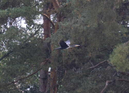
Great Cormorant
Phalacrocorax carbo
Seen 2026-09-18
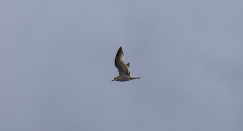
Common Gull
Larus canus
Seen 2026-09-18
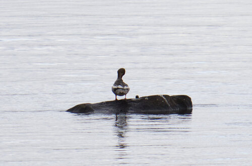
Common Merganser
Mergus merganser
Seen 2026-09-18
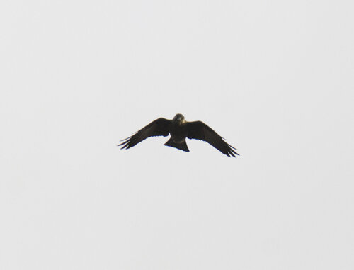
Eurasian Jackdaw
Coloeus monedula
Seen 2026-09-16
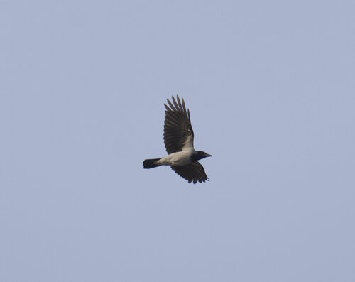
Hooded Crow
Corvus cornix
Seen 2026-09-15
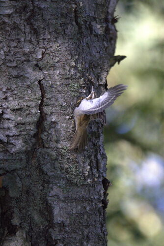
Eurasian Treecreeper
Certhia familiaris
Seen 2026-09-11
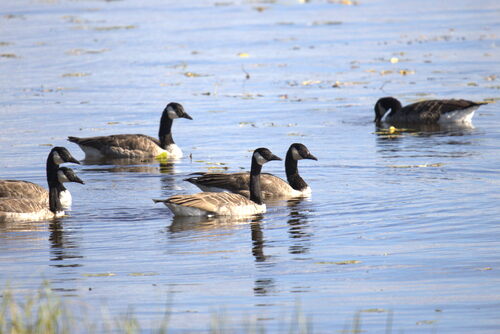
Canada Goose
Branta canadensis
Seen 2026-09-11
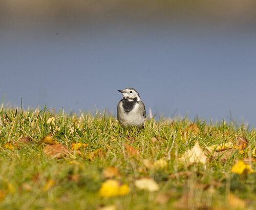
White Wagtail
Motacilla alba
Seen 2026-09-11
Research-grade observations from iNaturalist (within ~15 mi).
Events
Gallery
Sources
- • Wikipedia
- • Wikidata
- • iNaturalist
- • Open-Meteo / sunrise-sunset.org
- • Wikipedia Pageviews API